West Cote Blanche Bay
- Saltwater
- Bay
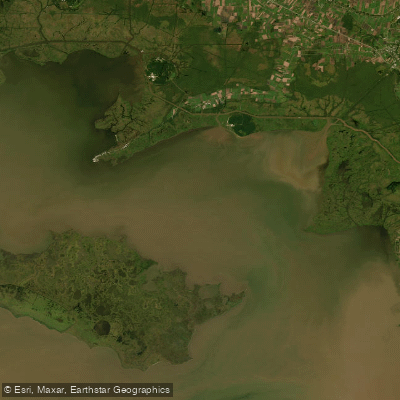
West Cote Blanche Bay
- Saltwater
- Bay
- Sq. miles
- 149
- Boat Ramps
- 0
- Access Points
- 0
- Campsites
- 0
West Cote Blanche Bay is a large, open saltwater bay in coastal Louisiana, part of a remnant delta complex. It is separated from Vermilion Bay by Cypremort Point and is characterized by low-lying marshland, with the notable exception of Cote Blanche Island, a salt dome that is one of the highest points of land along this coast. The bay is heavily influenced by the nearby Atchafalaya River, which affects water clarity and salinity, particularly in late spring and summer after the river falls. Primary access for paddlers is via the Quintana Boat Launch at Cypremort Point State Park, which charges a launch fee and offers restrooms, a kayak launch, and a fish-cleaning station. Another key access point is the Baldwin Boat Launch, which is the start of the Burns Point Paddling Trail that leads into the bay. The trail can end at either Cypremort Point State Park or the Burn’s Point Boat Launch, which has a small entry fee, restrooms, showers, and camping. Paddling here involves significant open water crossings; a direct crossing between Burns Point and Cypremort Point is approximately 25 miles, while following the shoreline is over 36 miles. This is a saltwater trail where self-rescue capability is essential. High winds frequently create choppy conditions, and paddlers must watch for high-speed boat traffic and sudden storms. The area is also used by commercial shrimpers and features numerous oil platforms. Wildlife includes pelicans, shorebirds, wading birds, and the possibility of seeing alligators in adjacent bayous. The summer months from May through September can be extremely hot, requiring ample water, sunscreen, and bug spray. The aesthetic is defined by vast marshes, working waterways with shrimp boats and oil infrastructure, and dramatic sunsets over the water.
Water access, boat ramps & amenities
Learn how to get on West Cote Blanche Bay. Uncover great paddling access points, boat ramps, and all the facilities you need for an unforgettable day on the water. Some locations shown may border or include private property. Always check property boundaries and applicable regulations before visiting. PaddleWays's Public & Private Land layer can help you plan your access with confidence.
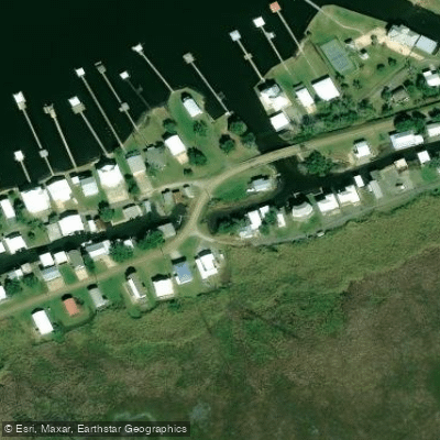
Paddle smarter with real-time insights
Whether you're en route and conditions shift or you're looking for the best spot based on current flows, we enable you to make informed decisions on the fly.








Find Places to Paddle

Over 400,000 Places to Paddle
Every user gets free access to launch points, boat ramps, and public property parcels.


Tides, wind & water conditions (10 day forecast)
On open water, wind and tide matter as much as the weather. See the best times to paddle West Cote Blanche Bay and check the marine forecast before you launch.
Loading tide predictions…
Paddling near West Cote Blanche Bay

Mississippi River
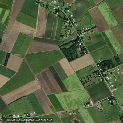
Bayou Teche
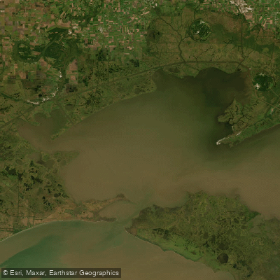
Vermilion Bay
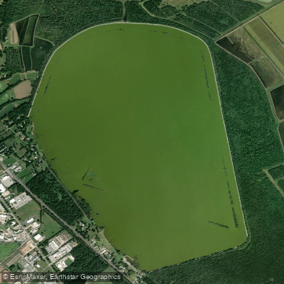
Spanish Lake
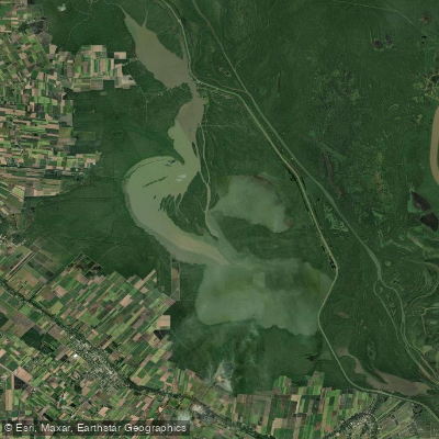
Lake Fausse Pointe
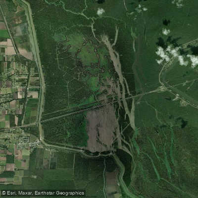
Lake Bigeux
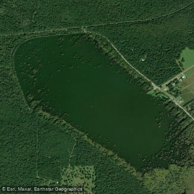
Lake la Pointe
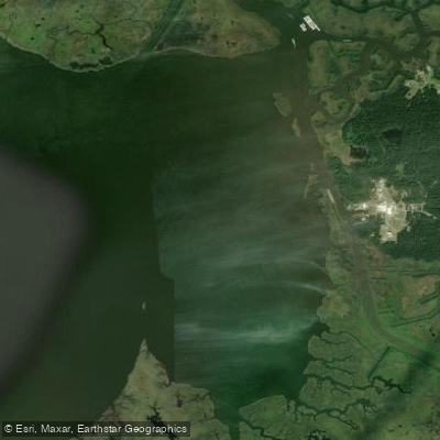
Weeks Bay
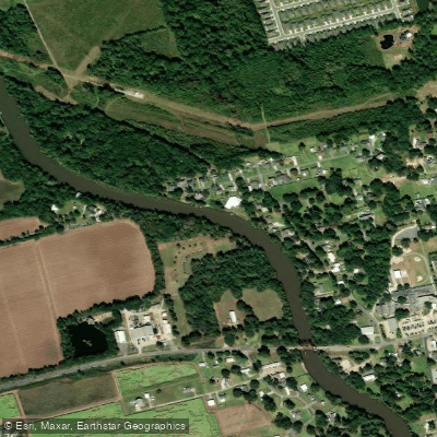
Vermilion River
Explore Louisiana waters
Top paddling waters
Popular Cities
Loading popular cities...
Explore near West Cote Blanche Bay

Smarter Paddling Starts in the App.
Paddleways gives you everything you need to plan smarter, paddle better, and own every trip from first launch to takeout.