Bodcau Creek
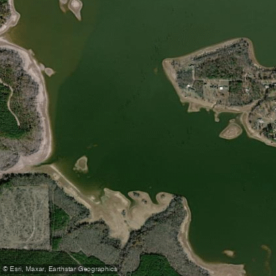
Bodcau Creek
- Boat Ramps
- 7
- Access Points
- 8
- Campsites
- 1
Bodcau Creek is a scenic waterway that flows south from southwestern Arkansas into northwestern Louisiana. The creek originates in Arkansas and meanders through rural areas before joining the Red River system in Louisiana. Bodcau Creek forms part of the larger Bodcau Bayou watershed. Paddling opportunities are primarily concentrated in the Louisiana portion, where it widens into Bayou Bodcau.
The creek offers a mix of environments, from narrow, tree-lined channels to more open bayou and lake sections. Several paddling routes have been established, ranging from 4-10 miles in length. Popular sections include Wenk's Landing to Highway 2 (10 miles), Highway 160 to Wenk's Landing (6-8 miles), and Highway 157 to Bodcau Lake (4 miles). The difficulty level is generally flatwater, making Bodcau Creek suitable for paddlers of various skill levels. However, some sections above Bodcau Dam can be more challenging, requiring navigation through vines and brush. Paddlers should be comfortable with route-finding in a bayou setting.
Spring and fall are ideal paddling seasons, offering comfortable temperatures and potentially higher water levels. Summer paddling is possible but can be hot, while winter may have lower water levels.
The creek's ecosystem supports diverse flora and fauna. Paddlers can expect to see cypress trees, including impressive specimens along the banks. Wildlife viewing opportunities are abundant. Key landmarks include Bodcau Dam, which creates Bodcau Lake, a popular destination for paddlers. The Bodcau Wildlife Management Area surrounds much of the creek, offering additional recreational opportunities.
Primary access points include Wenk's Landing, Highway 2 near Sarepta, Highway 160, Highway 157, and the boat launch below Bodcau Dam. Nearby towns include Sarepta and Haughton, Louisiana.
The creek holds significance as part of the larger Bodcau Bayou system, which has been managed for flood control, natural resource conservation, and recreation. The U.S. Army Corps of Engineers operates Bayou Bodcau Dam and Reservoir as a multi-use project.
Safety considerations include being aware of water levels, which can affect paddling conditions. Paddlers should also be prepared for isolated stretches and carry appropriate safety gear. A Louisiana Department of Wildlife and Fisheries permit may be required for some areas.
While specific multi-day trip options are not detailed, the various interconnected sections of Bodcau Creek and Bayou Bodcau offer potential for extended paddling adventures for those willing to plan logistics and camping arrangements.
Water access, boat ramps & amenities
Learn how to get on Bodcau Creek. Uncover great paddling access points, boat ramps, and all the facilities you need for an unforgettable day on the water. Some locations shown may border or include private property. Always check property boundaries and applicable regulations before visiting. PaddleWays's Public & Private Land layer can help you plan your access with confidence.
Paddle smarter with real-time insights
Whether you're en route and conditions shift or you're looking for the best spot based on current flows, we enable you to make informed decisions on the fly.








Find Places to Paddle

Over 400,000 Places to Paddle
Every user gets free access to launch points, boat ramps, and public property parcels.


Water and weather conditions (10 day forecast)
See the best times to paddle Bodcau Creek and check the forecast before you go.
Bodcau Bayou near Springhill, LA
All Flow Stations
Paddling near Bodcau Creek

Red River
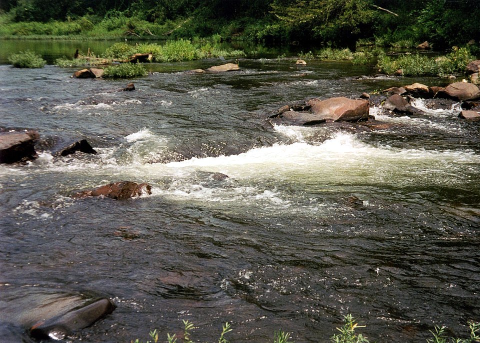
Cossatot River
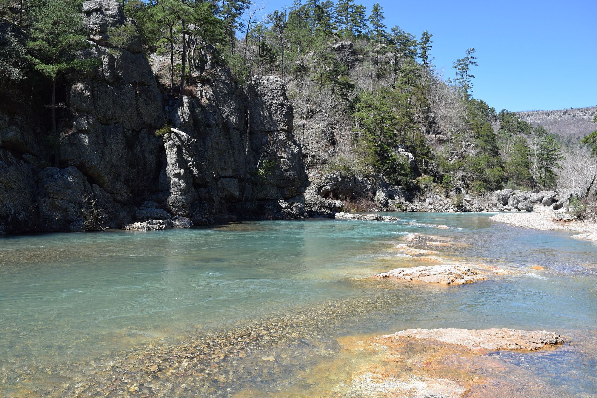
Little Missouri River
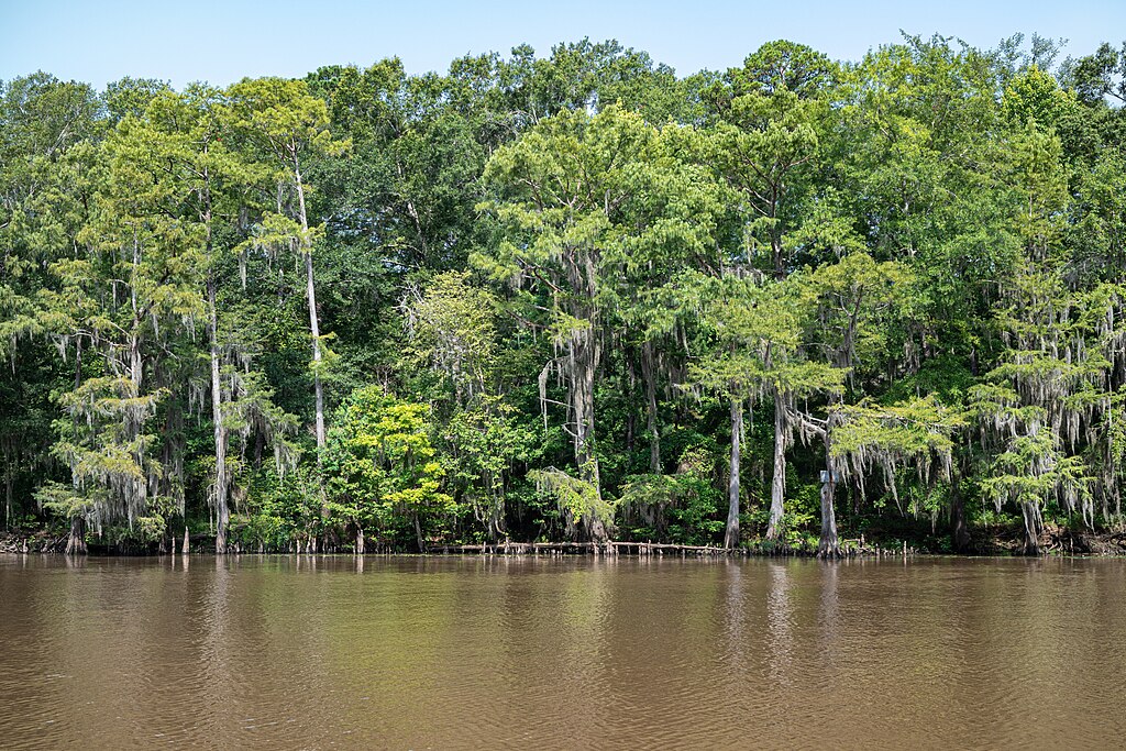
Big Cypress Bayou
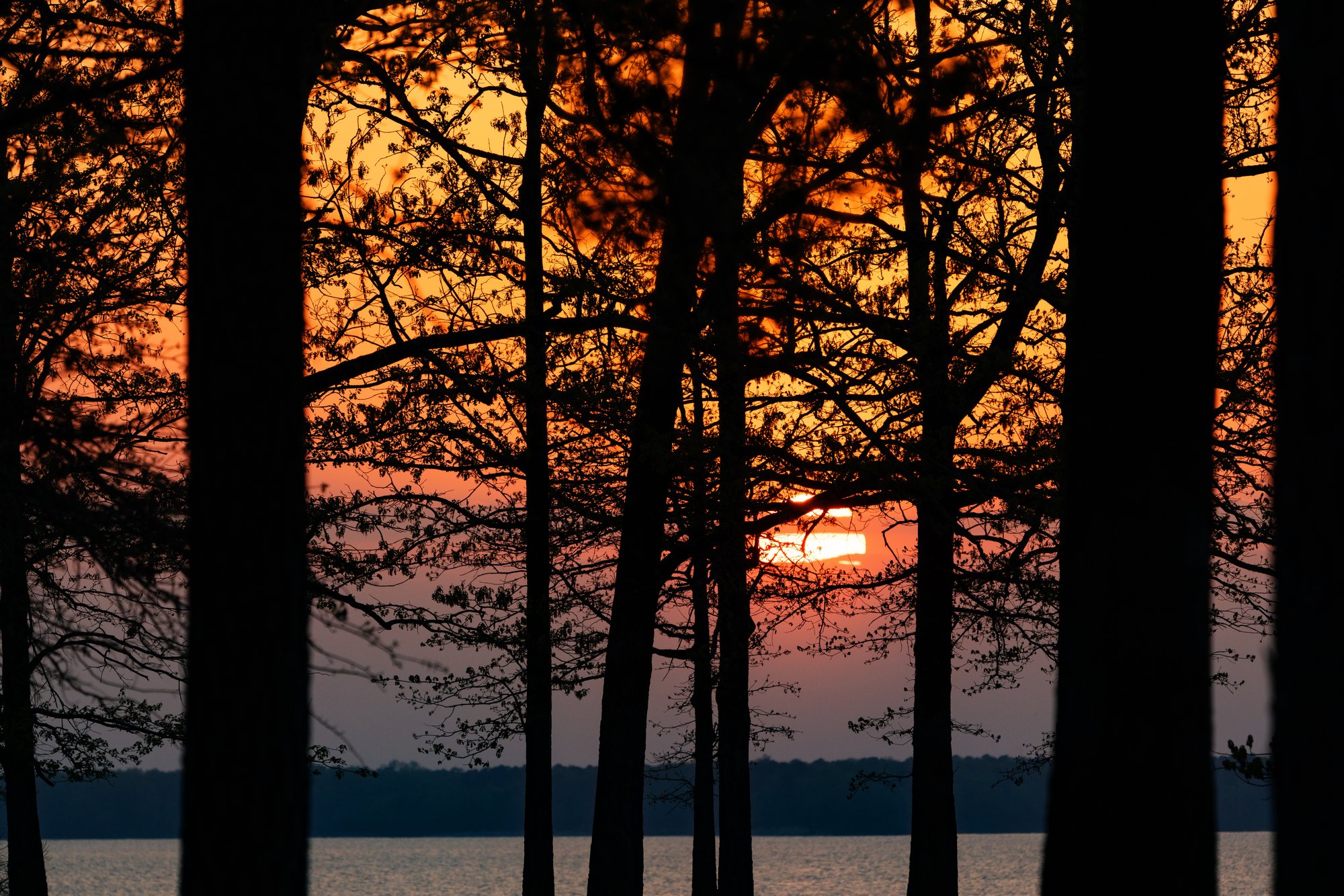
Wright Patman Lake
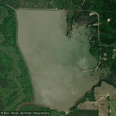
Bois d'Arc Lake
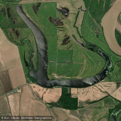
First Old River Lake
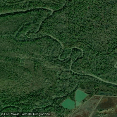
Sulphur River
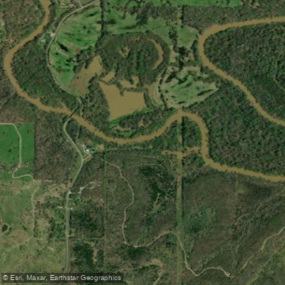
Little River
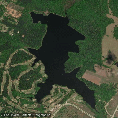
Bringle Lake
Explore Louisiana waters
Top paddling waters
Popular Cities
Loading popular cities...
Explore near Bodcau Creek
Access points
Nearby waters
More in Louisiana

Smarter Paddling Starts in the App.
Paddleways gives you everything you need to plan smarter, paddle better, and own every trip from first launch to takeout.