Cossatot River
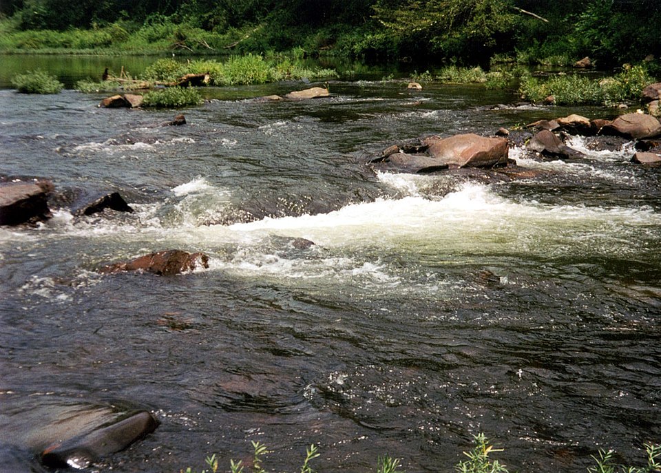
Cossatot River
- Boat Ramps
- 0
- Access Points
- 2
- Campsites
- 7
The Cossatot River is a premier whitewater destination in western Arkansas, originating in the Ouachita National Forest in Polk County and flowing southward for approximately 89 miles before joining the Little River. This National Wild and Scenic River cuts through the rugged Ouachita Mountains, creating a series of challenging rapids and scenic canyons. Paddling opportunities on the Cossatot range from calm flatwater sections to intense Class IV whitewater.
The river is divided into several distinct sections, each offering unique challenges. The Upper Cossatot, from County Road 31 to Highway 246, provides a 3.4-mile Class II+ run suitable for intermediate paddlers. The next section, from Highway 246 to Ed Banks Road, continues the Class II+ difficulty for 3.1 miles. The crown jewel of the Cossatot is the Falls Section, a 6.25-mile stretch from Ed Banks Road to Highway 278/4. This section features the famous Cossatot Falls, where the river drops 33 feet in elevation over just 1/3 of a mile through a series of six distinct ledges. The Falls offer Class II-IV rapids, with the first drop, known as Cossatosser, requiring particular caution due to a sneaky hole at the entrance. For a more relaxed experience, the Lower Cossatot from Gilliam Lake to County Road 70 offers a 9-mile Class I-II float suitable for beginners and families.
The Cossatot's flow is highly dependent on rainfall, with spring typically offering the most reliable water levels. However, summer thunderstorms can quickly raise water levels, creating exciting paddling opportunities for experienced kayakers and canoeists. The river corridor is home to diverse flora and fauna, including stands of hardwood forests and numerous bird species. Paddlers may spot white-tailed deer, wild turkeys, and even the occasional black bear.
Key access points include the Brushy Creek Recreation Area near Vandervoort, Ed Banks Road, and the Highway 278/4 bridge. The nearby towns of Mena and De Queen offer services for visitors.
Safety is paramount on the Cossatot. Paddlers should always check current water levels, wear appropriate safety gear, and possess solid whitewater skills before attempting the more challenging sections. The Falls area, in particular, requires careful scouting and the ability to execute precise maneuvers.
For those seeking a multi-day adventure, it's possible to combine several sections of the Cossatot, camping at designated sites along the river. However, paddlers should be aware of private property boundaries and obtain necessary permissions. The Cossatot River State Park-Natural Area protects much of the river corridor, offering additional hiking trails, interpretive programs, and camping facilities that complement the paddling experience on this wild Arkansas gem.
Water access, boat ramps & amenities
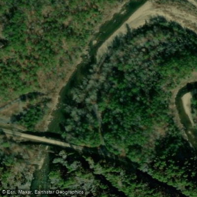
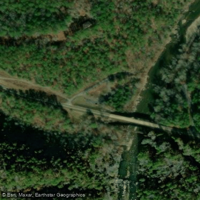
Learn how to get on Cossatot River. Uncover great paddling access points, boat ramps, and all the facilities you need for an unforgettable day on the water. Some locations shown may border or include private property. Always check property boundaries and applicable regulations before visiting. PaddleWays's Public & Private Land layer can help you plan your access with confidence.
Paddle smarter with real-time insights
Whether you're en route and conditions shift or you're looking for the best spot based on current flows, we enable you to make informed decisions on the fly.








Find Places to Paddle

Over 400,000 Places to Paddle
Every user gets free access to launch points, boat ramps, and public property parcels.


Water and weather conditions (10 day forecast)
See the best times to paddle Cossatot River and check the forecast before you go.
Cossatot River near Vandervoort, AR
All Flow Stations
Paddling near Cossatot River

Red River
Little Missouri River
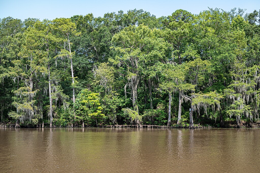
Big Cypress Bayou
Wright Patman Lake
Sulphur River
Bringle Lake
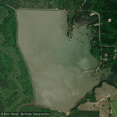
Bois d'Arc Lake
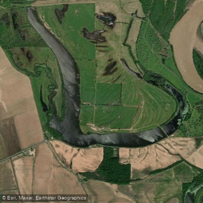
First Old River Lake
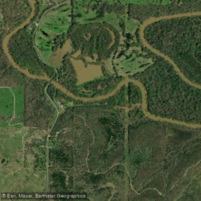
Little River
Explore Arkansas waters
Top paddling waters
Popular Cities
Loading popular cities...
Explore near Cossatot River
Access points
- Bushy Creek Trailhead Access
- North River Corridor Trailhead Access
- Cossatot River Bridge
- Cossatot River Bridge
- Cossatot River Polk Co Bridge
- Cossatot River Polk Co Bridge
- Cassatot River Bridge
- Crossatot River Bridge
- Cossatot River Bridge
- Cassatot River Bridge
- Cossatot River Bridge
- Cossatot River Bridge
- All 107 spots
Nearby waters
More in Arkansas

Smarter Paddling Starts in the App.
Paddleways gives you everything you need to plan smarter, paddle better, and own every trip from first launch to takeout.