Little River
Little River
- Boat Ramps
- 10
- Access Points
- 14
- Campsites
- 8
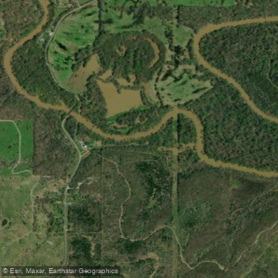
The Little River originates high in the Ouachita Mountains of southeastern Oklahoma, beginning in Le Flore County at elevations exceeding 2,000 feet. From these rugged headwaters, the river flows generally southward through Pushmataha County before turning southeast into McCurtain County. Crossing into Arkansas, it continues through Sevier, Little River, and Hempstead counties before joining the Red River near Fulton, Arkansas. This 217-mile journey encompasses approximately 4,204 square miles of drainage area split between Oklahoma and Arkansas.
The upper reaches from Honobia, Oklahoma to Pine Creek Lake offer approximately 46 river miles of Class I-II whitewater suitable for intermediate paddlers. This section features a moderate gradient with clear water, small rapids, and scenic forested banks characteristic of the Ouachita Mountains. However, water levels from July through September often become insufficient for paddling without recent rainfall. Below Pine Creek Lake, the river transitions into lowland character, flowing through swamps and slower pools where the Mountain Fork tributary adds significant volume near Wright City, Oklahoma.
The lower river through Arkansas presents primarily flatwater paddling through the Little River National Wildlife Refuge and Pond Creek National Wildlife Refuge. These sections feature bald cypress forests and seasonally flooded bottomland hardwoods. Millwood Lake, created by a U.S. Army Corps of Engineers dam, impounds a significant portion of the Arkansas reach, creating 29,200 acres of reservoir.
Wildlife includes American alligators at the northwestern limit of their range, particularly in Millwood Lake and the lower river swamps. The river supports diverse fish populations and hosts breeding alligator populations—a notable feature for this latitude. Bald cypress trees dominate the riparian zones in lower sections, while mixed hardwood and pine forests characterize the mountainous upper watershed.
Public access points include the Honobia area in Le Flore County, various locations around Pine Creek Lake in McCurtain County, and multiple sites near Millwood Lake in Arkansas. The river passes near Idabel, Oklahoma and DeQueen, Arkansas, though no major cities lie directly on its banks.
Paddlers should note that the upper river flows through the Honobia Creek Wildlife Management Area, where permits may be required unless launching and exiting at public access points while remaining waterborne. The river's flow varies dramatically with rainfall, and the lower sections' remote swamp character requires careful navigation and awareness of alligator presence. Spring and fall typically provide optimal conditions, with spring offering higher flows for upper sections and fall providing comfortable temperatures for exploring lower reaches.
Water access, boat ramps & amenities
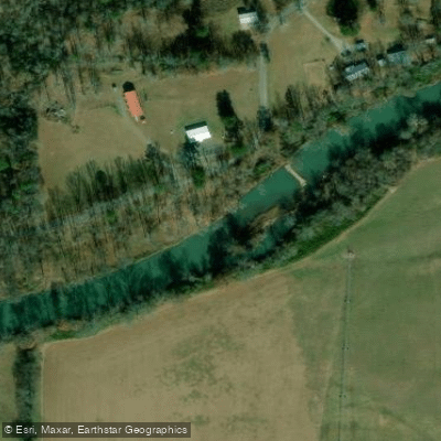
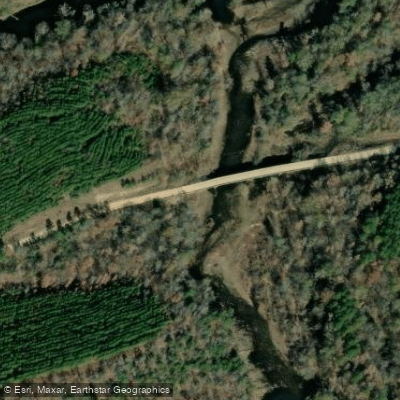
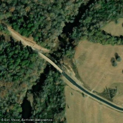
Learn how to get on Little River. Uncover great paddling access points, boat ramps, and all the facilities you need for an unforgettable day on the water. Some locations shown may border or include private property. Always check property boundaries and applicable regulations before visiting. PaddleWays's Public & Private Land layer can help you plan your access with confidence.
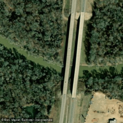
Paddle smarter with real-time insights
Whether you're en route and conditions shift or you're looking for the best spot based on current flows, we enable you to make informed decisions on the fly.








Find Places to Paddle

Over 400,000 Places to Paddle
Every user gets free access to launch points, boat ramps, and public property parcels.


Water and weather conditions (10 day forecast)
See the best times to paddle Little River and check the forecast before you go.
Little River blw Lukfata Creek, nr Idabel, OK
All Flow Stations
Paddling near Little River

Red River
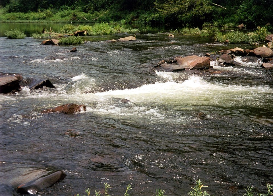
Cossatot River
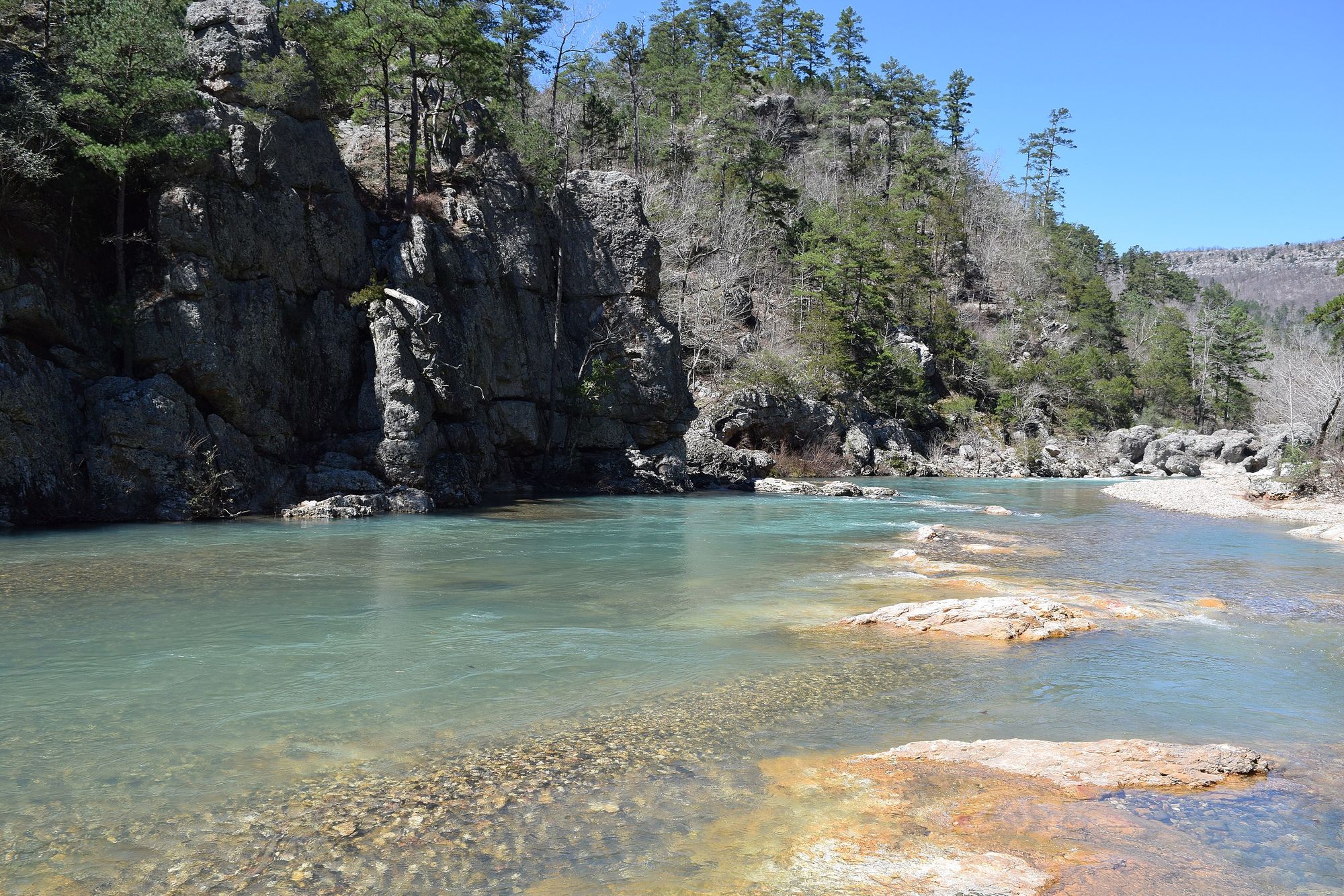
Little Missouri River
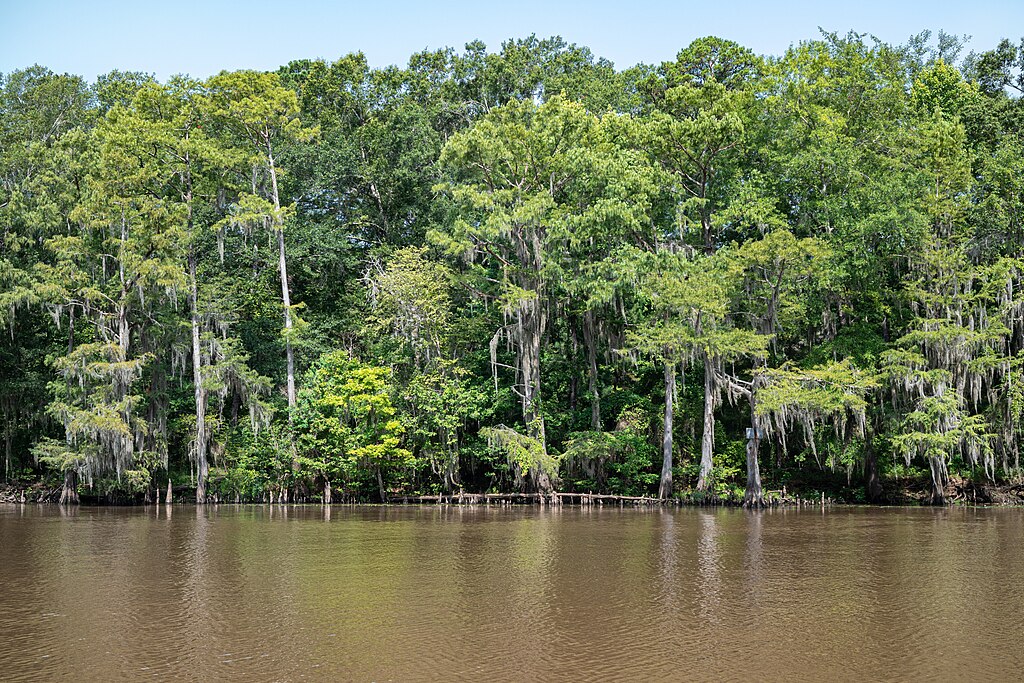
Big Cypress Bayou

Wright Patman Lake
Sulphur River
Bringle Lake
Bois d'Arc Lake
First Old River Lake
Explore Arkansas waters
Top paddling waters
Popular Cities
Loading popular cities...
Explore near Little River
Access points
- Hwy 41 Boat Ramp - Little River
- Patterson Shoals Boat Ramp
- Millwood Dam Tailwaters West Boat Ramp
- Patterson Shoals Boat Ramp
- Allen's Ferry Boat Ramp
- Highway 41 Bridge Boat Ramp
- White Cliffs Boat Ramp
- Millwood Dam Tailwaters East Boat Ramp
- Pine Creek Boat Ramp
- Turkey Creek Boat Ramp
- Honobia Access
- Cloudy Road Access
- All 166 spots
Nearby waters
More in Arkansas

Smarter Paddling Starts in the App.
Paddleways gives you everything you need to plan smarter, paddle better, and own every trip from first launch to takeout.