Sulphur River
Sulphur River
- Boat Ramps
- 7
- Access Points
- 8
- Campsites
- 9
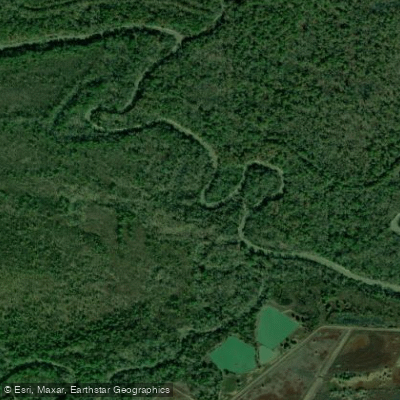
The Sulphur River is a 175-mile long waterway that flows through northeast Texas and southwest Arkansas. It originates at the confluence of its North and South Forks in Delta County, Texas, about 95 miles northeast of Dallas. The river flows generally eastward, forming part of the Texas-Arkansas border before emptying into the Red River.
Paddling opportunities on the Sulphur River range from flatwater to mild whitewater. The upper sections in Texas offer scenic flatwater paddling suitable for beginners, while some stretches in Arkansas provide more challenging conditions for intermediate paddlers. A notable paddling route is the Mercer Bayou Water Trail, a newly established 14-mile flatwater trail through the Sulphur River Wildlife Management Area in Arkansas. The river's difficulty varies from Class I to II, with most sections being relatively calm. However, water levels can fluctuate significantly, especially after heavy rains or releases from Wright Patman Dam, potentially creating swifter currents and submerged hazards.
Spring and fall are generally the best seasons for paddling, offering comfortable temperatures and more reliable water levels. Summer can be hot and humid, while winter paddling requires cold-water gear and extra precautions.
The Sulphur River basin supports a diverse ecosystem. Paddlers may encounter wading birds, waterfowl, and even the occasional alligator. The surrounding forests are home to various wildlife, including bald eagles, which have been spotted in the area.
Key landmarks include Wright Patman Lake, a large reservoir on the river in Texas, and the Sulphur River Wildlife Management Area in Arkansas. The river passes through or near several small towns, including Talco and Douglassville in Texas, and Fouke in Arkansas. Major access points include: - Malden Lake Boat Ramp near Douglassville, TX - Smith Park in Miller County, AR - Various points along the Mercer Bayou Water Trail in AR
Historically, the Sulphur River played a role in the region's development, supporting early settlements and later becoming part of the area's water management system with the construction of Wright Patman Dam.
Safety considerations include checking water levels and flow rates, especially below Wright Patman Dam, where sudden releases can occur. Paddlers should be aware of potential logjams and strainers, particularly in less-traveled sections. While most trips on the Sulphur River are day excursions, multi-day adventures are possible, especially in the more remote stretches. Paddlers planning overnight trips should be well-prepared and familiar with local regulations regarding camping along the river.
Water access, boat ramps & amenities
Learn how to get on Sulphur River. Uncover great paddling access points, boat ramps, and all the facilities you need for an unforgettable day on the water. Some locations shown may border or include private property. Always check property boundaries and applicable regulations before visiting. PaddleWays's Public & Private Land layer can help you plan your access with confidence.
Paddle smarter with real-time insights
Whether you're en route and conditions shift or you're looking for the best spot based on current flows, we enable you to make informed decisions on the fly.








Find Places to Paddle

Over 400,000 Places to Paddle
Every user gets free access to launch points, boat ramps, and public property parcels.


Water and weather conditions (10 day forecast)
See the best times to paddle Sulphur River and check the forecast before you go.
Sulphur Rv nr Talco, TX
All Flow Stations
Paddling near Sulphur River

Red River
Cossatot River
Little Missouri River
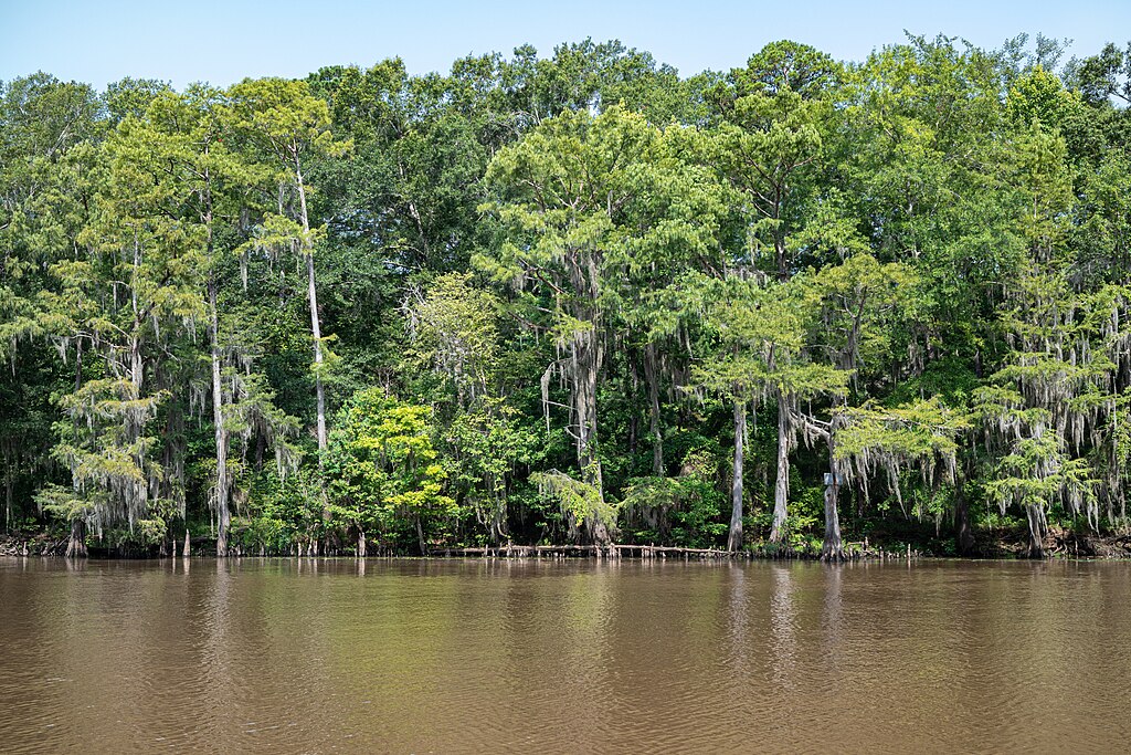
Big Cypress Bayou
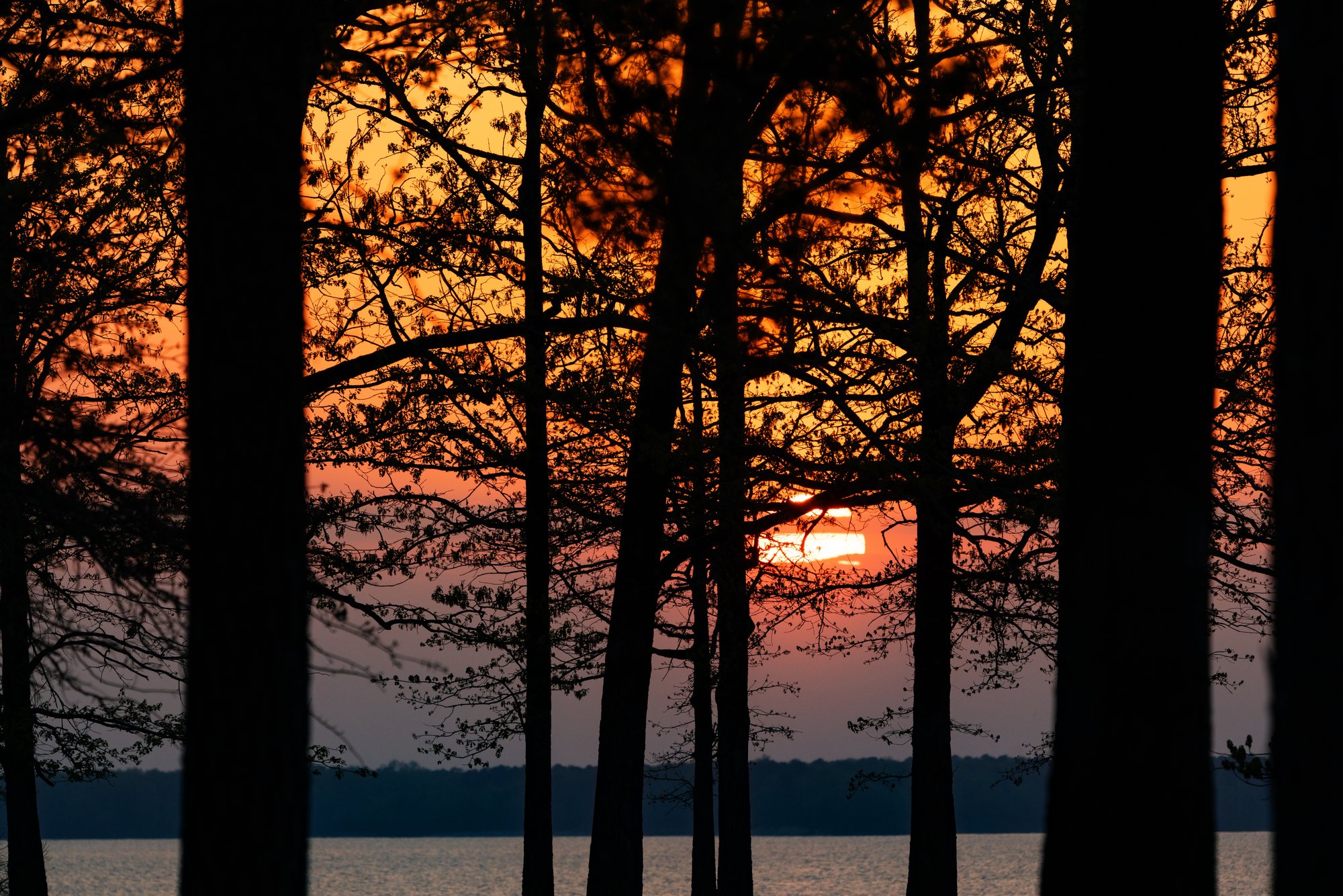
Wright Patman Lake
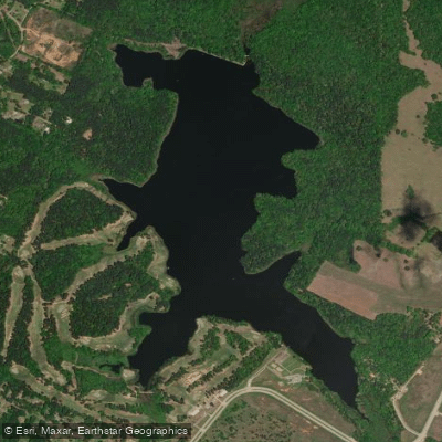
Bringle Lake
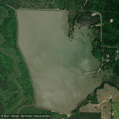
Bois d'Arc Lake
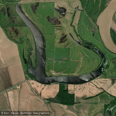
First Old River Lake
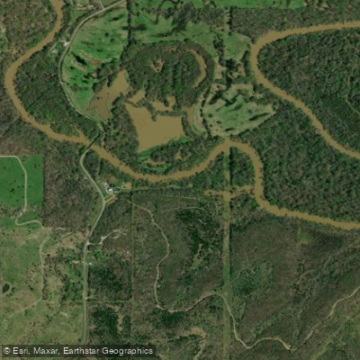
Little River
Explore Arkansas waters
Top paddling waters
Popular Cities
Loading popular cities...
Explore near Sulphur River
Access points
Nearby waters
More in Arkansas

Smarter Paddling Starts in the App.
Paddleways gives you everything you need to plan smarter, paddle better, and own every trip from first launch to takeout.