Little Missouri River
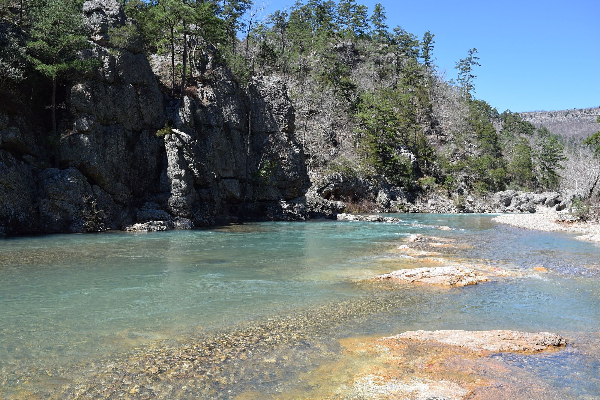
Little Missouri River
- Boat Ramps
- 6
- Access Points
- 12
- Campsites
- 22
The Little Missouri River in Arkansas is a scenic and challenging waterway that flows through the heart of the Ouachita Mountains. This picturesque river offers paddlers a diverse range of experiences, from serene floats to exhilarating whitewater runs, all set against the backdrop of the beautiful Ouachita National Forest.
The river's most popular paddling sections span from Albert Pike Recreation Area downstream to Lake Greeson, offering a variety of trip options for different skill levels. The upper sections, particularly from Albert Pike to Highway 84 Bridge, provide a 8.5-mile run with Class II to III+ rapids, potentially reaching Class IV at higher water levels. This stretch is best suited for intermediate to advanced paddlers who can handle technical whitewater.
Continuing downstream, the section from Highway 84 Bridge to US Highway 70 Bridge near Lake Greeson offers another 11.5 miles of exciting paddling. This run maintains a similar difficulty level, with Class II to III+ rapids and the possibility of Class IV features during high water. The significant elevation drop through this area ensures an adrenaline-pumping experience for skilled paddlers.
For those seeking a slightly easier adventure, the 5.2-mile stretch below Narrows Dam, known as the Little Missouri Tailwater, provides Class II+ whitewater. This section is popular among both paddlers and anglers, particularly when there's a scheduled release from the dam.
The best time to paddle the Little Missouri varies depending on the section. The upper reaches rely on natural flow and are typically best in spring or after significant rainfall. The tailwater section below Narrows Dam can be paddled year-round, with scheduled releases providing reliable flows even in summer.
The river corridor is home to diverse flora and fauna typical of the Ouachita Mountains. Paddlers may spot various bird species, deer, and occasionally black bears. The clear waters of the upper Little Missouri are also known for their excellent smallmouth bass fishing.
Notable landmarks along the river include the picturesque Little Missouri Falls, the Albert Pike Recreation Area, and the Winding Stairs area, all of which offer scenic beauty and opportunities for hiking and exploration. The nearby towns of Langley, Glenwood, and Murfreesboro serve as convenient access points and resupply locations for paddlers.
Safety is paramount on the Little Missouri, especially given its remote nature and challenging rapids. Paddlers should always check water levels before embarking, wear appropriate safety gear, and be prepared for sudden changes in weather and river conditions. It's also crucial to be aware of potential hazards such as strainers and undercut rocks, particularly in the more technical upper sections.
For those looking to extend their adventure, multi-day trips are possible by combining different sections of the river. A popular option is the 20-mile journey from Albert Pike to Lake Greeson, which can be split into two days of paddling with primitive camping along the way.
The Little Missouri River holds cultural significance as a longstanding recreational resource for the region, offering a perfect blend of natural beauty and outdoor adventure. Whether you're seeking a peaceful float or an adrenaline-fueled whitewater experience, the Little Mo, as it's affectionately known by locals, delivers an unforgettable paddling experience in the heart of Arkansas's Ouachita Mountains.
Water access, boat ramps & amenities
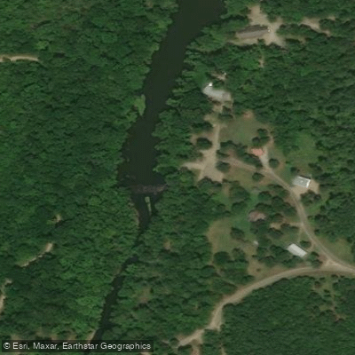
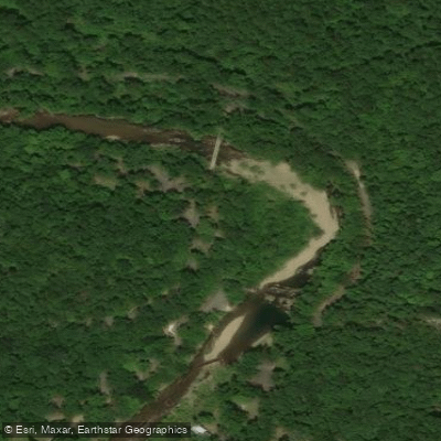
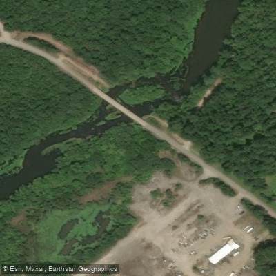
Learn how to get on Little Missouri River. Uncover great paddling access points, boat ramps, and all the facilities you need for an unforgettable day on the water. Some locations shown may border or include private property. Always check property boundaries and applicable regulations before visiting. PaddleWays's Public & Private Land layer can help you plan your access with confidence.
Paddle smarter with real-time insights
Whether you're en route and conditions shift or you're looking for the best spot based on current flows, we enable you to make informed decisions on the fly.








Find Places to Paddle

Over 400,000 Places to Paddle
Every user gets free access to launch points, boat ramps, and public property parcels.


Water and weather conditions (10 day forecast)
See the best times to paddle Little Missouri River and check the forecast before you go.
Little Missouri River near Langley, AR
Paddling near Little Missouri River
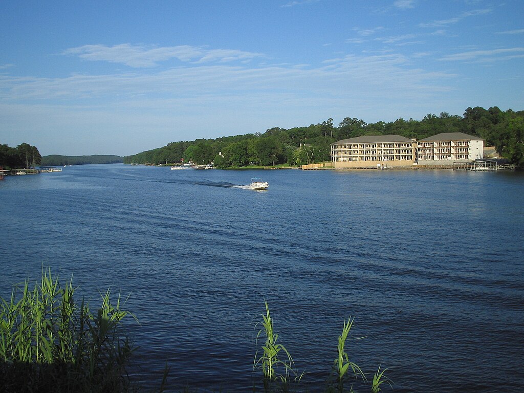
Lake Hamilton
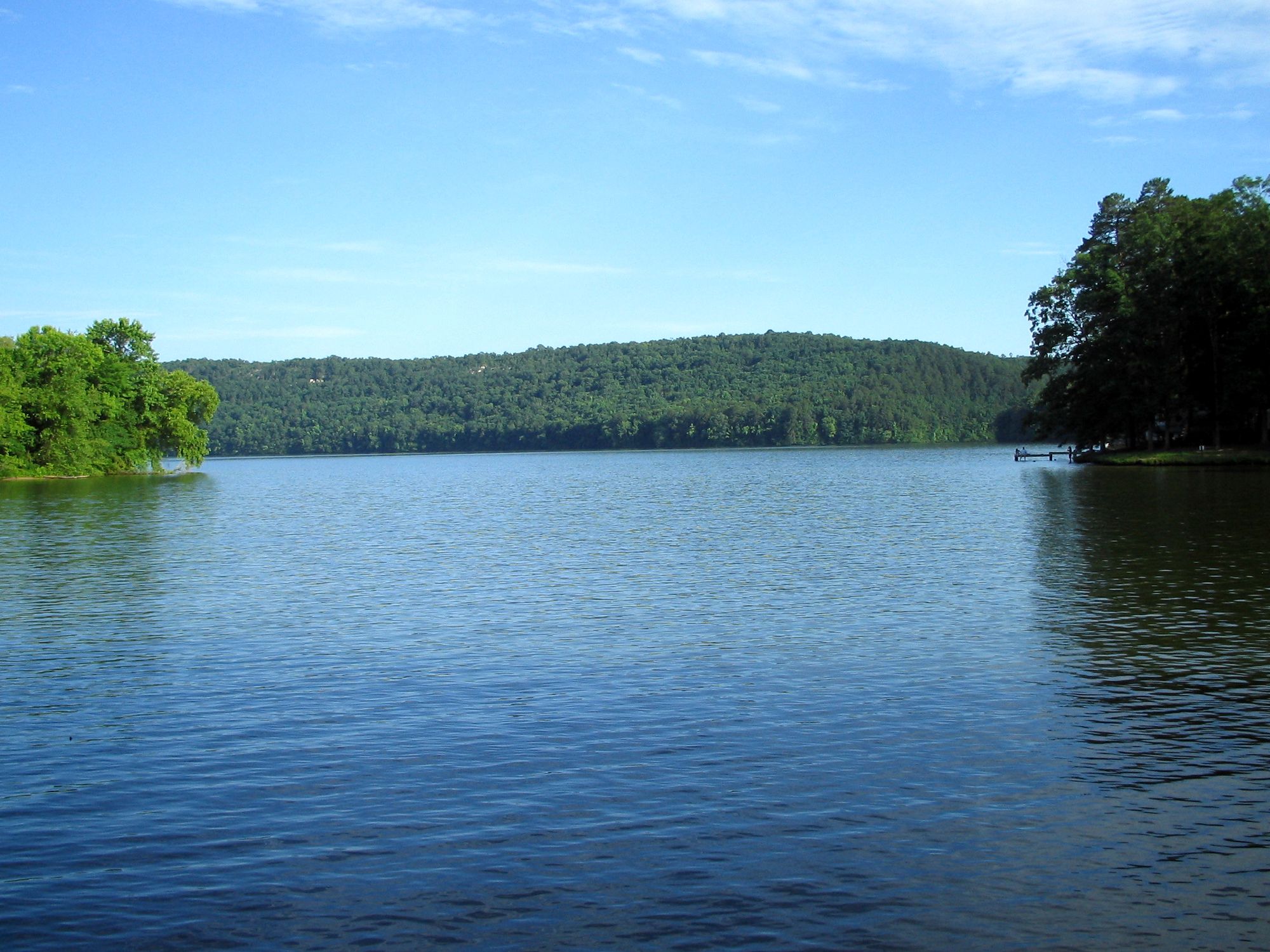
Lake Catherine
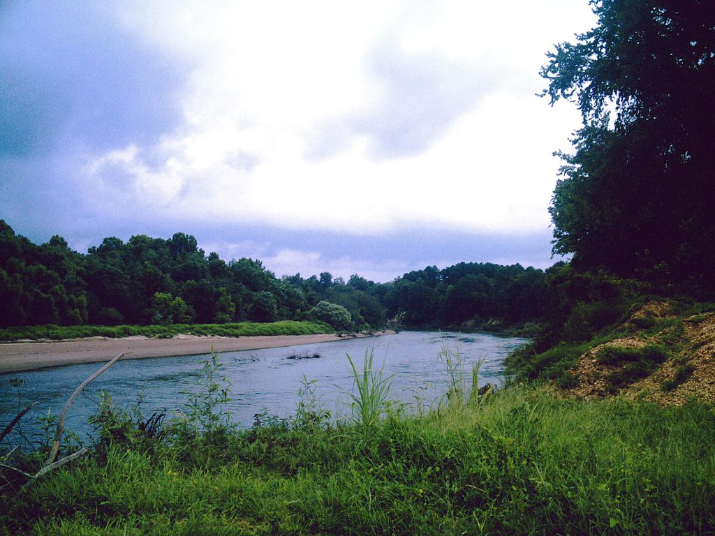
Ouachita River
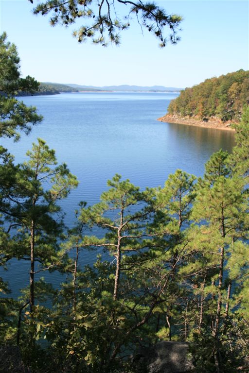
Lake Ouachita
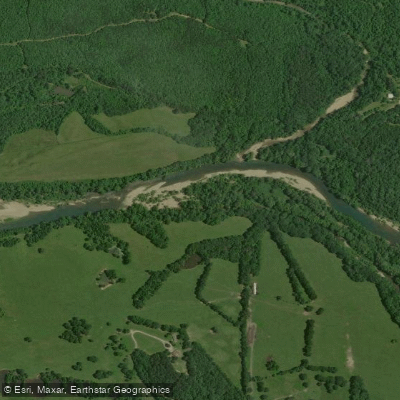
Caddo River
Saline River
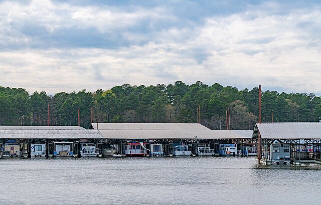
Lake Greeson

Arkansas River
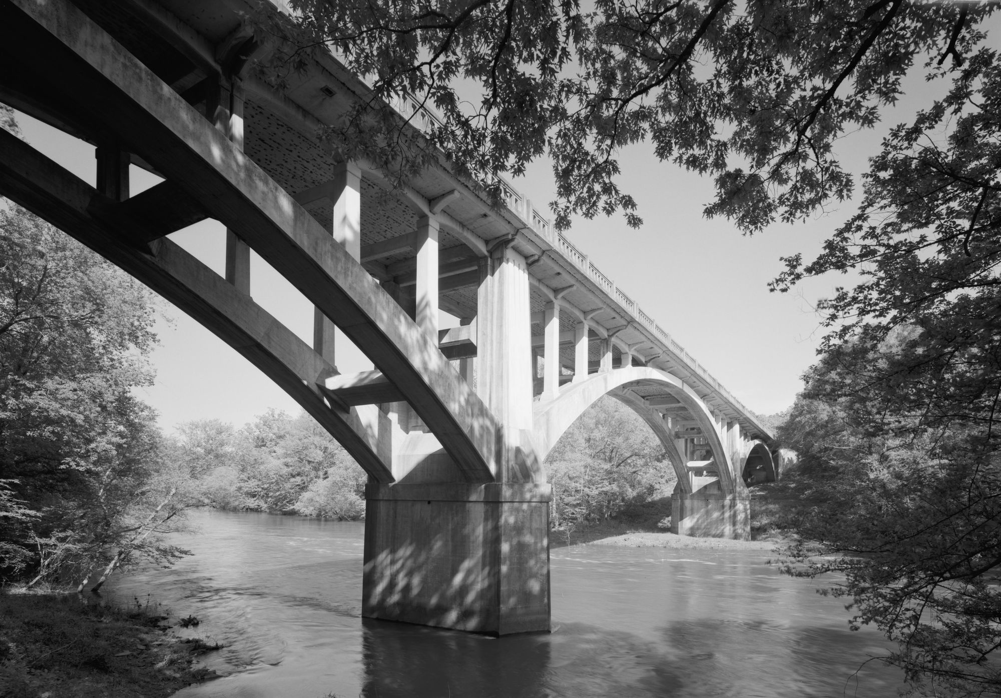
Fourche LaFave River
Lake Conway
Explore Arkansas waters
Top paddling waters
Popular Cities
Loading popular cities...
Explore near Little Missouri River
Access points
- Highway 19 Boating Access Little Missouri River
- Nubin Hill Boat Ramp
- Hwy. 67 Boat Ramp
- Reed Barringer Boat Ramp
- Terrell Access Boat Ramp
- Little Missouri Hwy 27 Boating Access
- Narrows Dam Access
- Highway 84 Bridge Access
- Hinds Bluff Walk-in Access
- Factory Site Walk-in Access
- Albert Pike Access
- Muddy Fork Access
- All 185 spots
Nearby waters
More in Arkansas

Smarter Paddling Starts in the App.
Paddleways gives you everything you need to plan smarter, paddle better, and own every trip from first launch to takeout.