Curated by PaddleWays
RouteFlatwater
- Distance
- 5.6 mi
- Paddle time
- ~2 hrs
- Best for
- Kayak, canoe
- Put-in → take-out
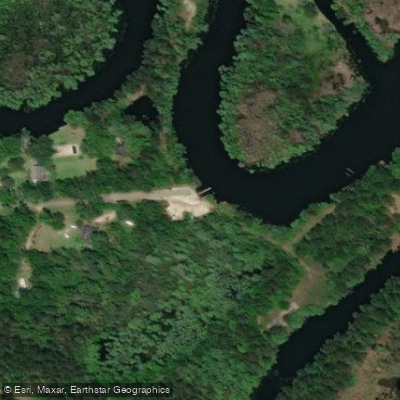
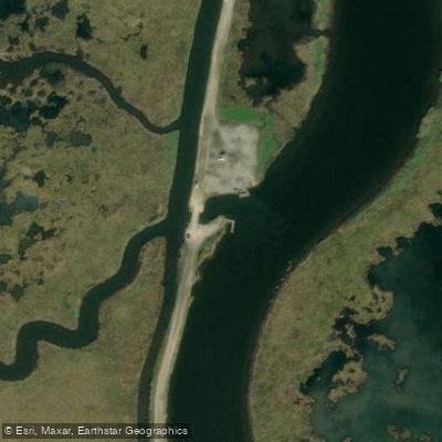
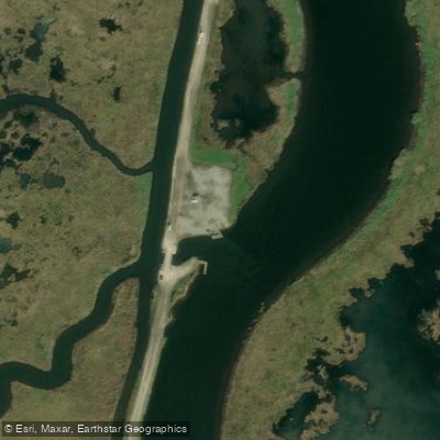
- Bayou Lacombe Boat Ramp → Marina Boat Ramp
Lacombe Bayou is a picturesque waterway located in St. Tammany Parish on the north shore of Lake Pontchartrain in southeastern Louisiana. The bayou originates north of the town of Lacombe and flows southward for approximately 10 miles before emptying into Lake Pontchartrain. As it meanders through cypress swamps and marshlands, Lacombe Bayou forms part of the eastern boundary of Big Branch Marsh National Wildlife Refuge.
Paddlers can explore several distinct sections of Lacombe Bayou, each offering a unique experience. The Main Street Launch in Lacombe provides access to both upstream and downstream routes. Heading north from the launch, paddlers can wind through a serene, tree-lined corridor that curves west and north. The southern route leads towards Lake Pontchartrain, characterized by increasingly wild scenery and open marshes as you progress downstream.
The bayou offers flatwater paddling suitable for kayaks and canoes, making it accessible to a wide range of skill levels. However, wind and tidal influences near Lake Pontchartrain can create more challenging conditions for inexperienced paddlers. Spring and fall are ideal times to paddle Lacombe Bayou, offering comfortable temperatures and opportunities to observe migratory birds. Summer paddling is popular but requires precautions against heat and sun exposure.
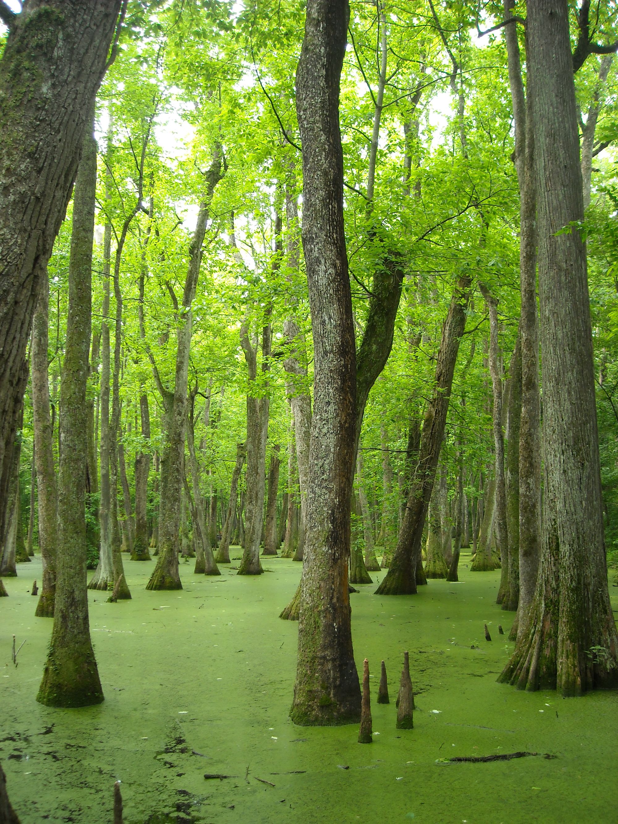
The bayou's ecosystem supports a diverse array of wildlife, including alligators, turtles, herons, and egrets. Paddlers may also spot osprey, bald eagles, and various waterfowl species. The surrounding vegetation features majestic cypress trees draped with Spanish moss, creating a quintessential Louisiana bayou atmosphere.
Key landmarks include the Main Street public boat launch in Lacombe, the U.S. 190 bridge crossing, and the Southeast Louisiana National Wildlife Refuges Bayou Lacombe Center. The bayou's mouth at Lake Pontchartrain offers a striking transition from the sheltered waterway to the vast lake.
For those seeking longer adventures, the nearby Cane Bayou offers an additional paddling option, flowing parallel to Lacombe Bayou and providing access to Fontainebleau State Park.
Paddlers should be aware of potential alligator encounters and changing weather conditions, especially near Lake Pontchartrain. Local regulations prohibit disturbing wildlife or removing plants from the bayou and surrounding areas.
Lacombe Bayou holds cultural significance as part of the traditional waterways used by the Choctaw people and early settlers in the region. Today, it serves as an important recreational resource and natural habitat, offering visitors a glimpse into Louisiana's rich ecological heritage.
Curated routes
Hand-picked by the PaddleWays team, with put-ins, take-outs, paddle times and the hazards along the way.
RouteFlatwater
Hazards
No hazards are marked on Lacombe Bayou yet. That is not the same as none being there: if you find one, report it for the next paddler.
From the community
Nobody has shared a trip on Lacombe Bayou yet. Paddle it, then tell the next paddler how it went.
See exactly where the public can get on and off the river. Launch points and boat ramps are paired with PaddleWays' public land data so you know where you can legally land.
Public shoreline
0%of the river's shoreline is public
Most of the riverbank is private. Launch, land and camp only at public access points.
Flows, weather and a route-by-route verdict, so you know which stretch of the Lacombe Bayou is worth paddling today.
No forecast data available.
Live flows, marked hazards and fresh trip reports from paddlers who were just on the water, all in one place.





Every user gets free access to launch points, boat ramps, and public property parcels.

Loading popular cities...
PaddleWays gives you everything you need to plan smarter, paddle better, and own every trip from first launch to takeout.