Mississippi River-Gulf Outlet Canal
- Saltwater
- Tidal river
Mississippi River-Gulf Outlet Canal
- Saltwater
- Tidal river
- Sq. miles
- 1.1
- Boat Ramps
- 0
- Access Points
- 0
- Campsites
- 0
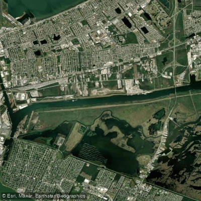
The Mississippi River-Gulf Outlet Canal, or MRGO, is a large, man-made tidal channel approximately 76 miles long located in St. Bernard and Orleans Parishes, Louisiana. It was constructed to provide a shorter route for shipping between the Gulf of Mexico and New Orleans' inner harbor via the Intracoastal Waterway. The canal begins near New Orleans East and runs southeast through St. Bernard Parish wetlands west of Lake Borgne to the Gulf of Mexico near Gardner Island. It is a significant, engineered waterway with a history of environmental impact, including contributing to saltwater intrusion and wetlands erosion. Following Hurricane Katrina, the canal was closed to all maritime shipping in 2009, and a permanent storm surge barrier was constructed, fundamentally altering its use. As a result, paddlers should expect no commercial vessel traffic, though the waterway remains a large, open channel.
Paddlers must treat this as a coastal saltwater feature with significant tidal influence. The canal's character is defined by its straight, wide path through marshlands, with the width having eroded over time from an initial 650 feet to as much as 3,000 feet in some areas by 2005, creating a very exposed paddling environment. This substantial fetch makes the canal highly susceptible to wind, which can quickly build choppy conditions, a primary safety consideration. Launch points like the Reggio Boat Ramp are noted nearby on connecting waterways. The surrounding landscape is historically wetland, with cypress forests that were once thick enough for canoe travel in adjacent bayous, though the canal's construction impacted these ecosystems.
The canal's historical and cultural significance is considerable, tied directly to the economic development of the Port of New Orleans and the subsequent engineering and environmental lessons from Hurricane Katrina. Paddling here offers a stark view of a human-altered landscape and the ongoing efforts in wetland restoration. Given its exposure, trips should be planned with meticulous attention to wind forecasts and tide tables, as paddling against a strong wind or an opposing tidal current in such an open channel would be extremely challenging. Water quality and seasonal temperature patterns are not specified, but as a Gulf-influenced estuary, water is brackish to saltwater. There are no indicated restrictions specific to paddling, but the presence of the storm surge barrier and the canal's closure to shipping are critical factors for route planning.
Water access, boat ramps & amenities
Learn how to get on Mississippi River-Gulf Outlet Canal. Uncover great paddling access points, boat ramps, and all the facilities you need for an unforgettable day on the water. Some locations shown may border or include private property. Always check property boundaries and applicable regulations before visiting. PaddleWays's Public & Private Land layer can help you plan your access with confidence.
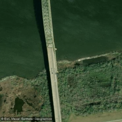
I C Waterway(gulf Outlet Bridge
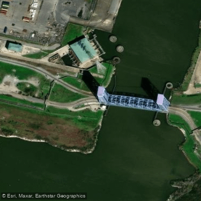
Inner Harbor Navigation Bridge
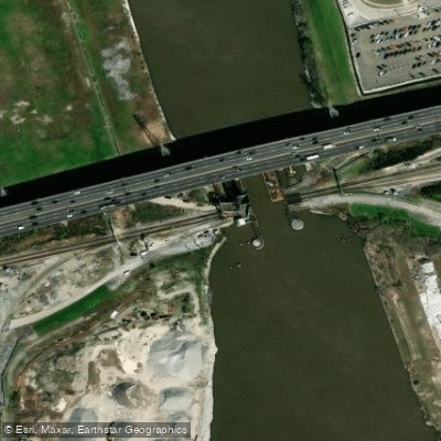
Inner Harbor Navigation Bridge
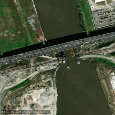
Inner Harbor /city Sts Bridge
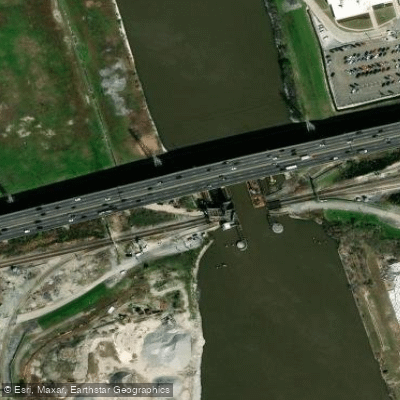
City Streets Bridge
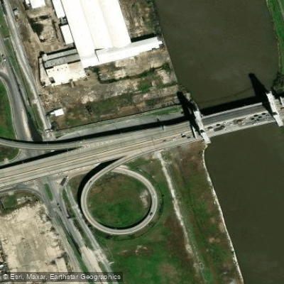
Ramp A Bridge
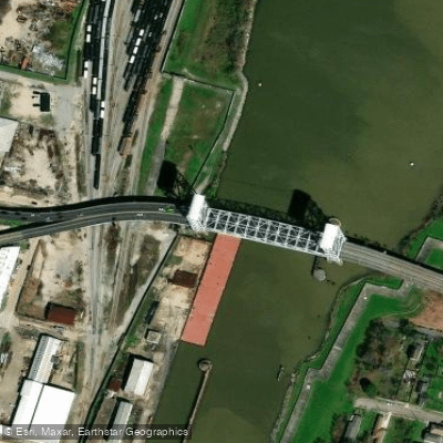
Industrial Canal Bridge
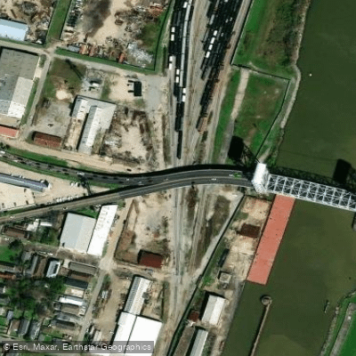
Japonica St. Bridge
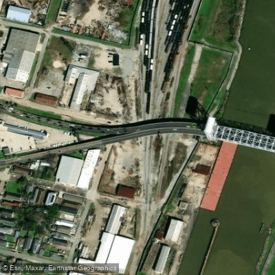
Inner Harbor Nav Canal Bridge
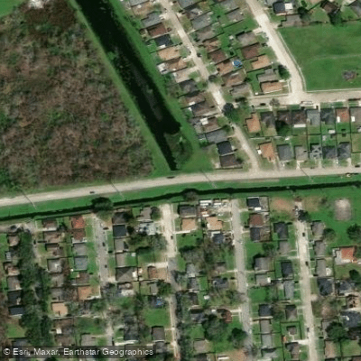
Benson Canal Bridge
Paddle smarter with real-time insights
Whether you're en route and conditions shift or you're looking for the best spot based on current flows, we enable you to make informed decisions on the fly.








Find Places to Paddle

Over 400,000 Places to Paddle
Every user gets free access to launch points, boat ramps, and public property parcels.


Tides, wind & water conditions (10 day forecast)
On open water, wind and tide matter as much as the weather. See the best times to paddle Mississippi River-Gulf Outlet Canal and check the marine forecast before you launch.
Loading tide predictions…
Paddling near Mississippi River-Gulf Outlet Canal

Pearl River
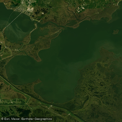
Lake Borgne

Mississippi River
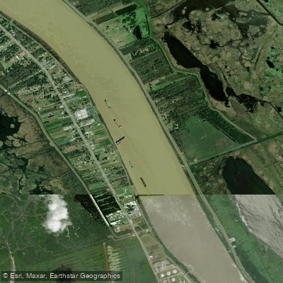
Mississippi River
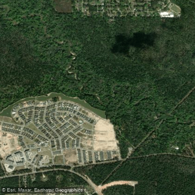
Tchefuncte River
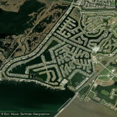
Grand Lagoon
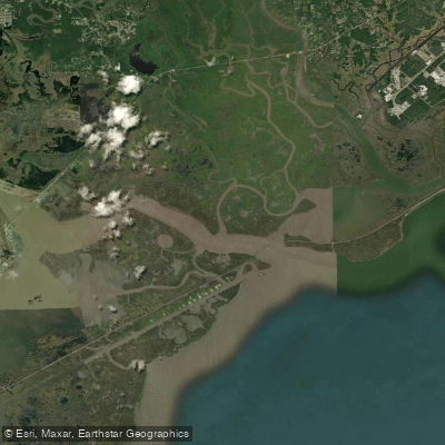
The Riggolets
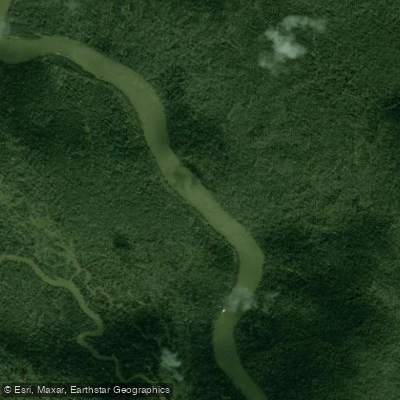
West Pearl River
Explore Louisiana waters
Top paddling waters
Popular Cities
Loading popular cities...
Explore near Mississippi River-Gulf Outlet Canal
Access points
Nearby waters
More in Louisiana

Smarter Paddling Starts in the App.
Paddleways gives you everything you need to plan smarter, paddle better, and own every trip from first launch to takeout.