Bayou Carlin
- Saltwater
- Bayou
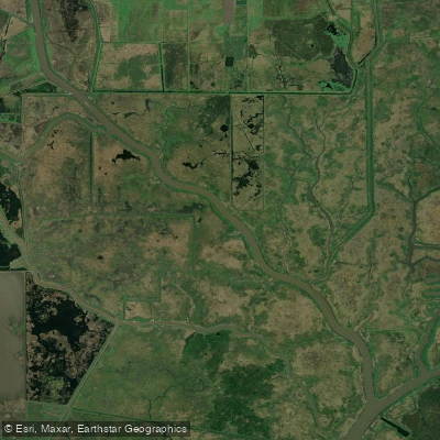
Bayou Carlin
- Saltwater
- Bayou
- Sq. miles
- 0.3
- Boat Ramps
- 0
- Access Points
- 0
- Campsites
- 0
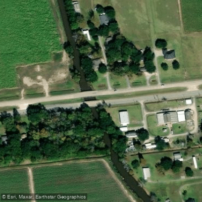
Bayou Carlin, also known as the Delcambre Canal, is a coastal saltwater canal in Delcambre, Louisiana, that provides a direct connection from the town's harbor to Vermilion Bay and the Gulf of Mexico. The primary public access point for paddlers is the Bayou Carlin Cove Boat Landing & Pavilion, located at 605 South Railroad Street. This site features a four-bay boat launch and a 28-slip marina, serving as a central hub for the area's waterways. The canal was constructed in 1906 and crosses the Gulf Intracoastal Waterway (GIWW) before emptying into Vermilion Bay. Paddlers must be prepared for significant commercial and recreational boat traffic, especially at the crossing of the GIWW, a major commercial shipping channel. The area is exposed to weather systems from the Gulf, and wind fetch across Vermilion Bay can create challenging conditions. Tidal currents are a primary factor for trip planning; one paddler's account notes a current of 1.5 knots in the canal, indicating that timing a paddle with the tidal flow is essential for managing effort. The paddling experience is characterized by its working waterfront atmosphere. The harbor is home to shrimp boats and seafood processing facilities, and paddlers can view the local fishing fleet. The Port of Delcambre hosts a direct seafood marketplace at the pavilion. The surrounding landscape consists of coastal wetlands, and the region is culturally significant as a historic center of the shrimp industry. The area is ecologically rich, part of a system of bayous and swamps supporting diverse birdlife. As a low-lying coastal community, the town and waterways are vulnerable to tropical storms and hurricanes, which have caused severe flooding in the past. Paddlers should always check weather forecasts, tide charts, and be highly vigilant for boat traffic, particularly when navigating near or across the Intracoastal Waterway.
Water access, boat ramps & amenities
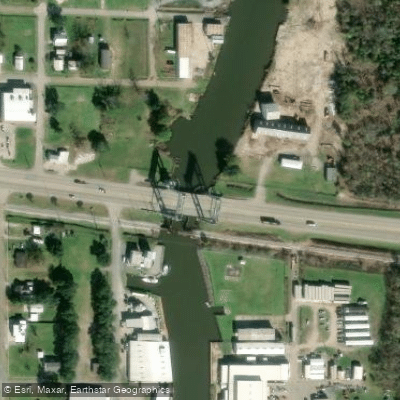
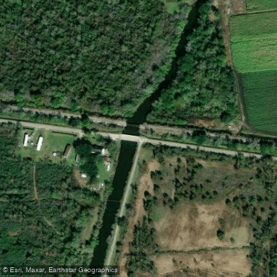
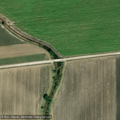
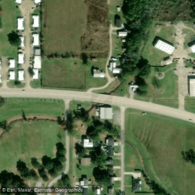
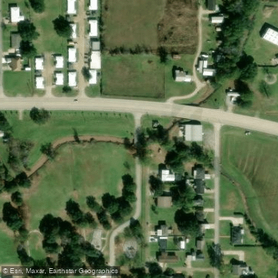
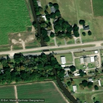
Learn how to get on Bayou Carlin. Uncover great paddling access points, boat ramps, and all the facilities you need for an unforgettable day on the water. Some locations shown may border or include private property. Always check property boundaries and applicable regulations before visiting. PaddleWays's Public & Private Land layer can help you plan your access with confidence.
Paddle smarter with real-time insights
Whether you're en route and conditions shift or you're looking for the best spot based on current flows, we enable you to make informed decisions on the fly.








Find Places to Paddle

Over 400,000 Places to Paddle
Every user gets free access to launch points, boat ramps, and public property parcels.


Tides, wind & water conditions (10 day forecast)
On open water, wind and tide matter as much as the weather. See the best times to paddle Bayou Carlin and check the marine forecast before you launch.
Loading tide predictions…
Paddling near Bayou Carlin

Mississippi River
Bayou Teche
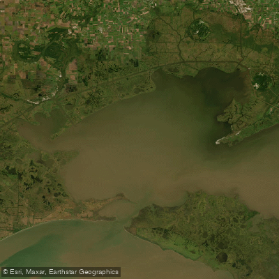
Vermilion Bay
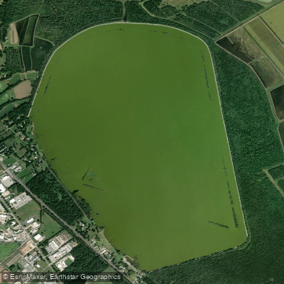
Spanish Lake
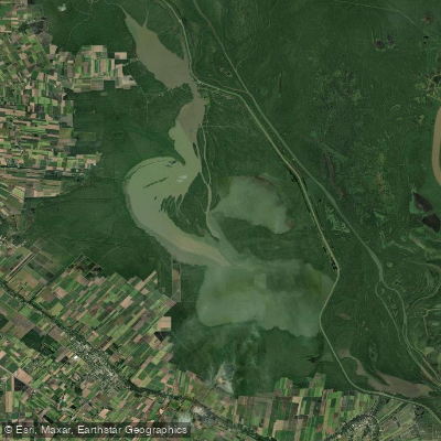
Lake Fausse Pointe
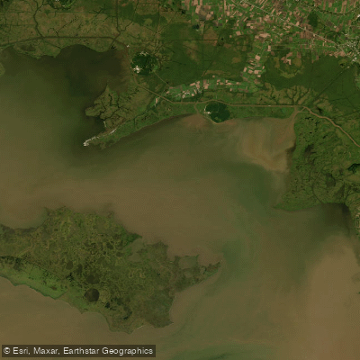
West Cote Blanche Bay
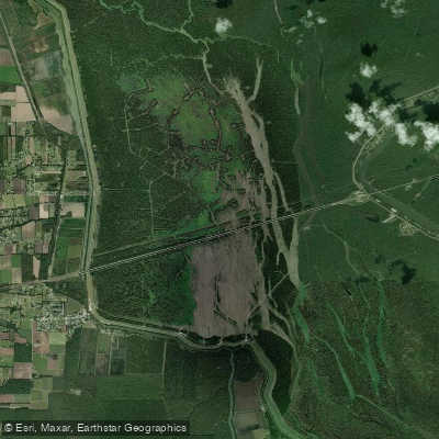
Lake Bigeux
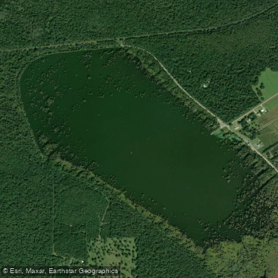
Lake la Pointe
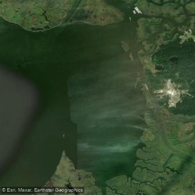
Weeks Bay
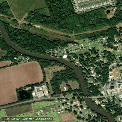
Vermilion River
Explore Louisiana waters
Top paddling waters
Popular Cities
Loading popular cities...
Explore near Bayou Carlin
Access points
Nearby waters
More in Louisiana

Smarter Paddling Starts in the App.
Paddleways gives you everything you need to plan smarter, paddle better, and own every trip from first launch to takeout.