Lake Maurepas
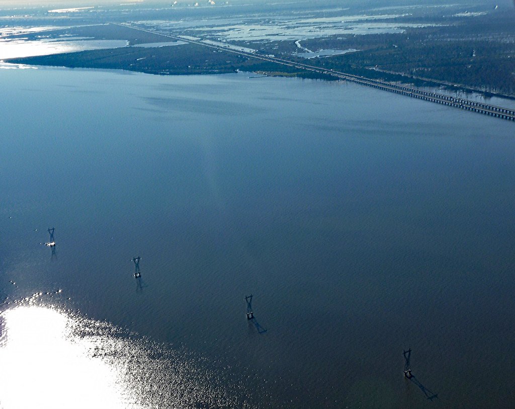
Lake Maurepas
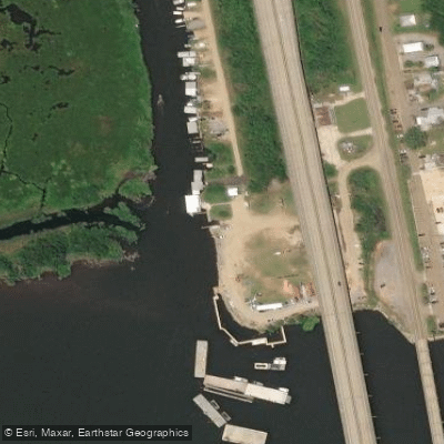
- Boat Ramps
- 1
- Access Points
- 1
- Campsites
- 0
Lake Maurepas in Louisiana offers paddlers a diverse wetland ecosystem to explore. The primary access point is off Highway 51, about 5 miles north of I-10 exit 209. Look for a large pipeline on the right and an open spot on the left to launch. The lake is surrounded by cypress forests, bayous, and marshes, providing habitat for wildlife like alligators, barred owls, and wading birds.
Several paddling routes are available from the launch site. Shell Bank Bayou leads directly to Lake Maurepas, narrowing and becoming more scenic as you progress. The "Manchac Mansion" route explores finger lakes and a small slough leading to marsh areas. "Trapper's Run" follows a similar path but continues further to additional sloughs. Water levels can impact passage through narrow areas, particularly in Shell Bank Bayou.
Spring brings vibrant green foliage to the swamp, while fall sees cypress trees turn orange and brown. Wildlife viewing is best in warmer months. Paddlers should be prepared for potentially shallow water, fallen trees, and aquatic vegetation like water hyacinth that can block passages. The area is subject to seasonal changes affecting water levels and plant growth.
No facilities are available at the launch site, so plan accordingly. Paddlers are advised not to leave valuables in vehicles due to security concerns. Binoculars are recommended for bird watching, particularly around Lake Maurepas where barred owl populations are dense. The remote nature of the area provides an immersive, non-touristy swamp experience for more experienced paddlers seeking adventure.
Water access, boat ramps & amenities
Learn how to get on Lake Maurepas. Uncover great paddling access points, boat ramps, and all the facilities you need for an unforgettable day on the water. Some locations shown may border or include private property. Always check property boundaries and applicable regulations before visiting. PaddleWays's Public & Private Land layer can help you plan your access with confidence.
Paddle smarter with real-time insights
Whether you're en route and conditions shift or you're looking for the best spot based on current flows, we enable you to make informed decisions on the fly.








Find Places to Paddle

Over 400,000 Places to Paddle
Every user gets free access to launch points, boat ramps, and public property parcels.


Water and weather conditions (10 day forecast)
See the best times to paddle Lake Maurepas and check the forecast before you go.
Pass Manchac nr. Lake Maurepas, LA
Paddling near Lake Maurepas
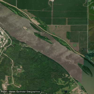
Mississippi River
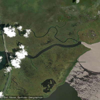
Pass Manchac

Pearl River
Tangipahoa River
Blind River
Tchefuncte River
Petite Amite River
Tickfaw River
Explore Louisiana waters
Top paddling waters
Popular Cities
Loading popular cities...
Explore near Lake Maurepas
Access points
Nearby waters
More in Louisiana

Smarter Paddling Starts in the App.
Paddleways gives you everything you need to plan smarter, paddle better, and own every trip from first launch to takeout.