Lake Ross Barnett
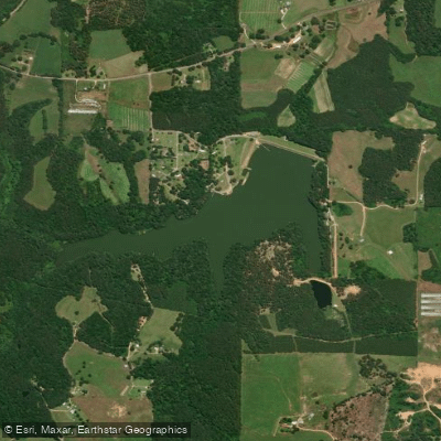
Lake Ross Barnett
- Boat Ramps
- 1
- Access Points
- 4
- Campsites
- 0
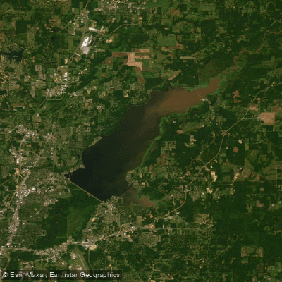
Ross Barnett Reservoir, locally known as "the Rez," is a 33,000-acre impoundment of the Pearl River located between Madison and Rankin counties in Mississippi. The lake features 105 miles of shoreline and is bounded on its western shore by the historic Natchez Trace Parkway. With an average depth of 11 feet and typically stained water clarity of 2-8 feet, the reservoir provides diverse paddling opportunities.
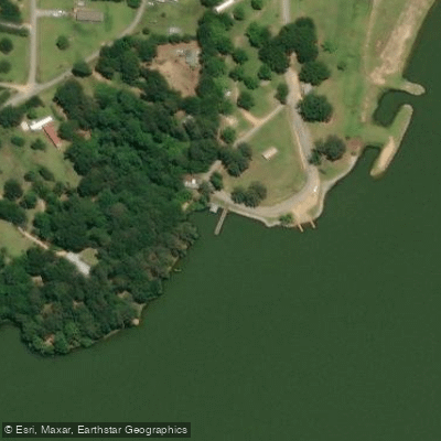
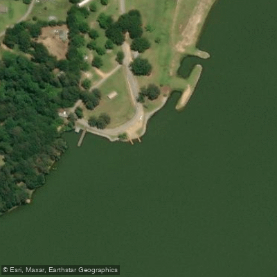
Multiple access points exist around the lake, with 22 boat launches and several parks offering convenient put-in locations. Pelahatchie Shore Park serves as a popular launch site, providing easy access to protected coves and interior waterways. The lake includes numerous small islands and tributary creeks that paddlers can explore.
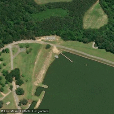
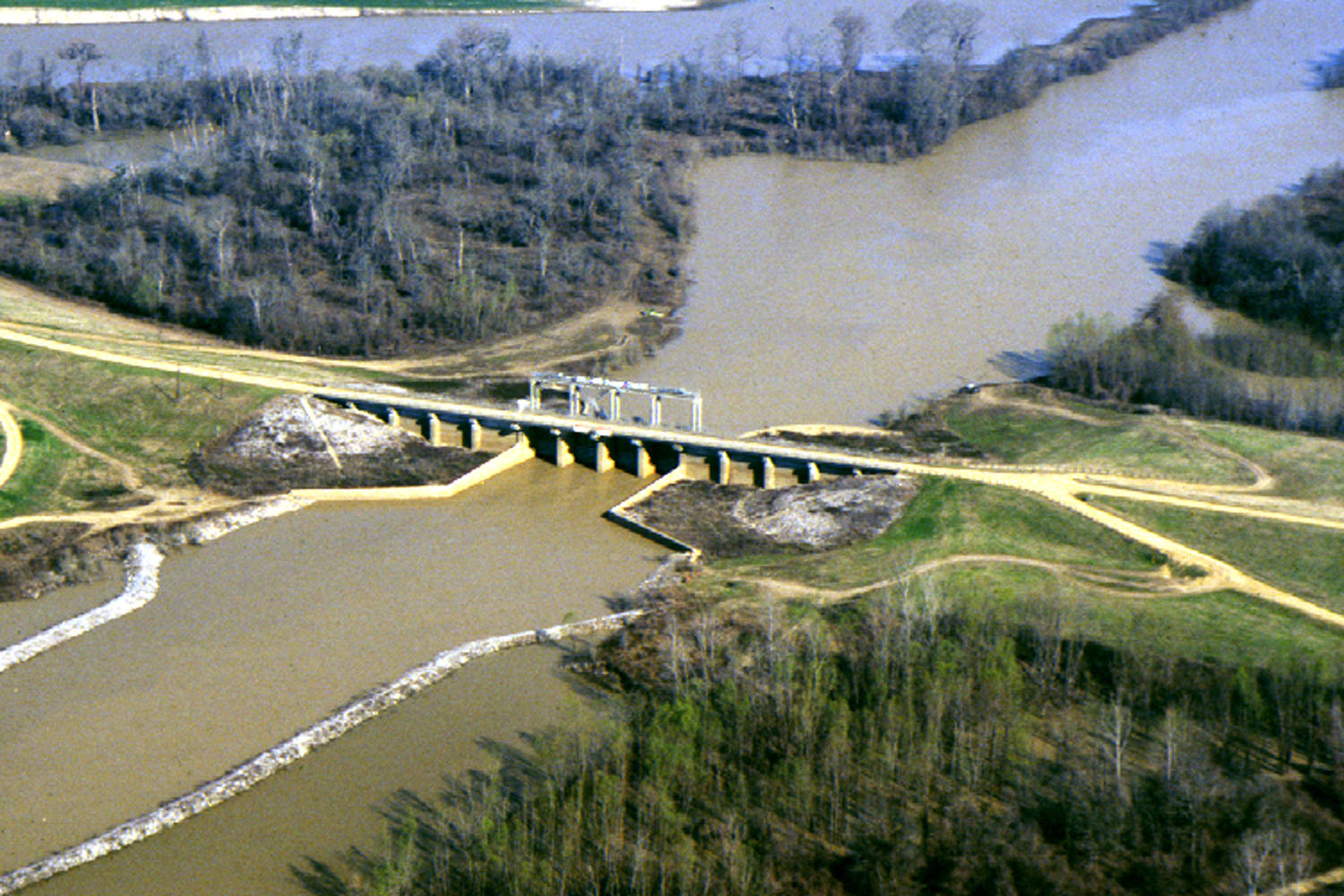
Safety considerations are significant, particularly around the spillway area. Paddlers must stay clear of the dangerous spillway waters and be cautious near the water intake structure's pylons. The lake can experience challenging conditions during high winds, and water levels fluctuate seasonally with a summer target elevation of 297.5 feet above sea level.
Wildlife viewing opportunities abound, with wading birds, turtles, and various waterfowl frequently spotted. The shoreline features extensive freshwater forested wetlands, bottomland hardwoods, and cypress swamps. Protected species in the area include the Gulf sturgeon and ringed map turtle.
Facilities include five campgrounds, 16 parks, and three handicapped-accessible trails around the reservoir. Local outfitters like Pearl River Kayaks offer rentals and guided tours, with services designed for beginners and families. Spring and fall typically offer the most favorable paddling conditions, while summer paddling is best undertaken during early morning or late evening hours to avoid peak heat.
The reservoir serves as central Mississippi's largest drinking water resource and is managed by the Pearl River Valley Water Supply District. Over two million visitors enjoy the reservoir annually for various recreational activities, making it a significant regional destination for outdoor enthusiasts.
Water access, boat ramps & amenities
Learn how to get on Lake Ross Barnett. Uncover great paddling access points, boat ramps, and all the facilities you need for an unforgettable day on the water. Some locations shown may border or include private property. Always check property boundaries and applicable regulations before visiting. PaddleWays's Public & Private Land layer can help you plan your access with confidence.
Paddle smarter with real-time insights
Whether you're en route and conditions shift or you're looking for the best spot based on current flows, we enable you to make informed decisions on the fly.








Find Places to Paddle

Over 400,000 Places to Paddle
Every user gets free access to launch points, boat ramps, and public property parcels.


Water and weather conditions (10 day forecast)
See the best times to paddle Lake Ross Barnett and check the forecast before you go.
No forecast data available.
Paddling near Lake Ross Barnett

Pearl River
Yazoo River
Ross R Barnett Reservoir
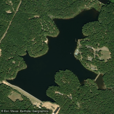
Shadow Lake
Pelahatchie Creek
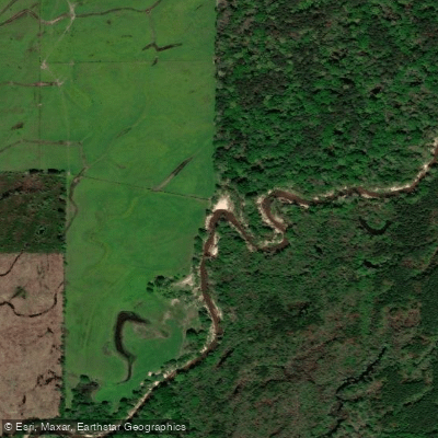
Strong River
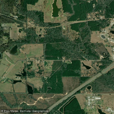
Leaf River
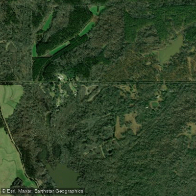
Big Black River
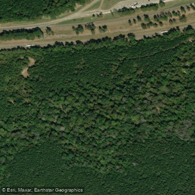
Line Creek
Explore Mississippi waters
Top paddling waters
Popular Cities
Loading popular cities...
Explore near Lake Ross Barnett
Access points
Nearby waters
More in Mississippi

Smarter Paddling Starts in the App.
Paddleways gives you everything you need to plan smarter, paddle better, and own every trip from first launch to takeout.