Pelahatchie Creek

Pelahatchie Creek
- Boat Ramps
- 0
- Access Points
- 0
- Campsites
- 4
Pelahatchie Creek is a scenic waterway located in central Mississippi, flowing generally southwest before joining the Pearl River system. The creek passes through Rankin County and forms part of the Ross Barnett Reservoir watershed before merging with the Pearl River near Jackson. Paddling opportunities on Pelahatchie Creek offer a mix of reservoir and creek experiences.
A notable 10.4-mile section, part of the Pearl River Paddling Trail, runs from the Ross Barnett Reservoir Spillway to LeFleur's Bluff State Park. This stretch provides a 2-4 hour journey suitable for intermediate paddlers, with a Class II difficulty rating. The route features various landmarks including the mouth of Old Pelahatchie Creek, Old Channel Lake & Wetlands, and River Lake. Another section near a golf course offers a different paddling experience, characterized by fairly deep water and numerous obstacles in the form of downed trees and stumps. This adds technical challenge to the paddle, requiring careful maneuvering.
The creek's difficulty ranges from calm reservoir conditions to more challenging creek paddling with obstacles, suitable for beginner to intermediate paddlers depending on the section and water conditions. High water periods are not recommended for beginners, particularly on the Pearl River Paddling Trail section. The creek is likely most enjoyable in spring and fall when water levels are typically moderate and temperatures are pleasant. Summer paddling is possible but may require awareness of potential low water levels in some sections.
The surrounding ecosystem supports a mix of riparian and wetland habitats. Paddlers can expect to encounter a variety of water birds and possibly glimpse other wildlife along the forested banks. Key access points include the Ross Barnett Reservoir Spillway Boat Ramp and LeFleur's Bluff State Park Ramp at Mayes Lake, both near Jackson. A golf course area also serves as an informal put-in for creek exploration.
Safety considerations include being prepared for obstacles in the creek sections, awareness of water intake structures, and caution during high water periods. Paddlers should always check current conditions and bring appropriate safety gear. The creek's connection to the larger Pearl River system suggests potential for extended paddling adventures for those looking to explore beyond Pelahatchie Creek itself.
Water access, boat ramps & amenities
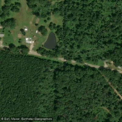
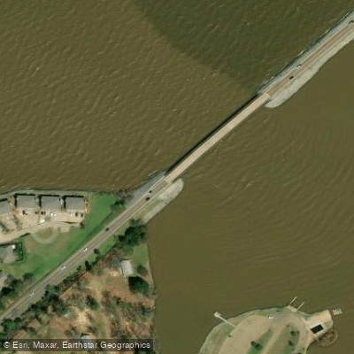
Learn how to get on Pelahatchie Creek. Uncover great paddling access points, boat ramps, and all the facilities you need for an unforgettable day on the water. Some locations shown may border or include private property. Always check property boundaries and applicable regulations before visiting. PaddleWays's Public & Private Land layer can help you plan your access with confidence.
Paddle smarter with real-time insights
Whether you're en route and conditions shift or you're looking for the best spot based on current flows, we enable you to make informed decisions on the fly.








Find Places to Paddle

Over 400,000 Places to Paddle
Every user gets free access to launch points, boat ramps, and public property parcels.


Water and weather conditions (10 day forecast)
See the best times to paddle Pelahatchie Creek and check the forecast before you go.
PELAHATCHIE CREEK AT STATE HWY 25 NR FANNIN, MS
Paddling near Pelahatchie Creek

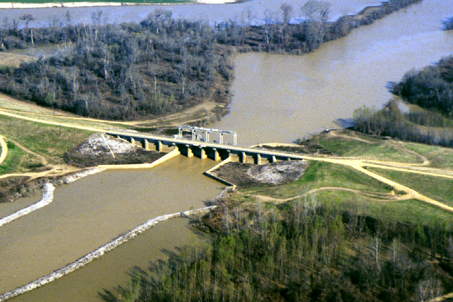
Pearl River
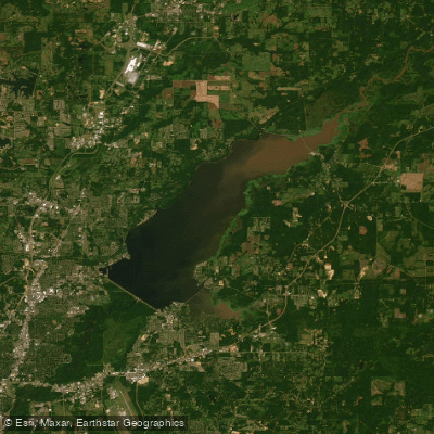
Yazoo River
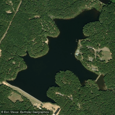
Ross R Barnett Reservoir
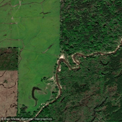
Shadow Lake
Strong River
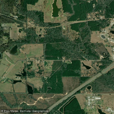
Leaf River
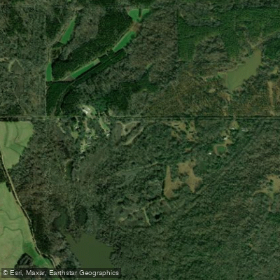
Big Black River
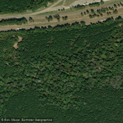
Line Creek
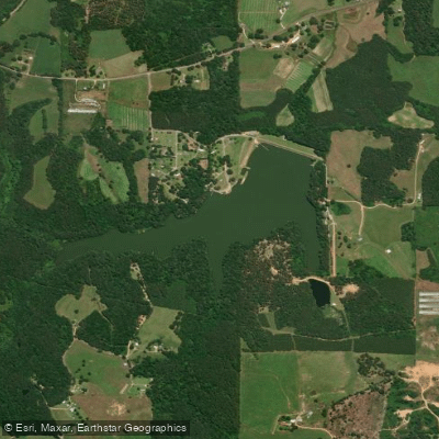
Lake Ross Barnett
Explore Mississippi waters
Top paddling waters
Popular Cities
Loading popular cities...
Explore near Pelahatchie Creek
Access points
Nearby waters
More in Mississippi

Smarter Paddling Starts in the App.
Paddleways gives you everything you need to plan smarter, paddle better, and own every trip from first launch to takeout.