Shadow Lake
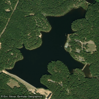
Shadow Lake
- Boat Ramps
- 1
- Access Points
- 5
- Campsites
- 4
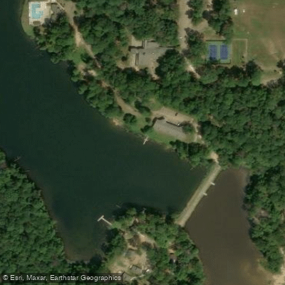
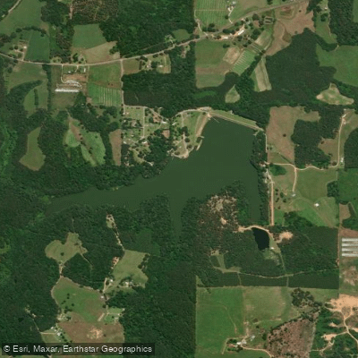
Shadow Lake is a 150-acre lake located in Roosevelt State Park in Scott County, Mississippi, positioned between Meridian and Jackson within the Bienville National Forest. The lake offers a peaceful paddling environment with panoramic views of the surrounding landscape.
Access is available through Roosevelt State Park, located at 2149 MS-13 in Morton, MS, approximately 2 miles south of town via Interstate 20 Exit 77. The lake's location within a state park ensures reliable public access and basic amenities for paddlers.
The lake's waters are well-stocked with various fish species, making it a dual-purpose destination for anglers and paddlers. The surrounding forested shoreline provides natural scenery and creates a tranquil paddling atmosphere away from urban environments.
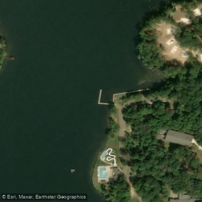
Park facilities include a swimming pool overlooking the lake, picnic pavilions, and restrooms. The Alfreda-Harris Lodge is accessible via a paved walkway through wooded areas near the water. A recently added Splash Zone attraction brings additional activity to the park but is separate from the main lake area.
Paddlers should be aware that the lake is also used for fishing and other recreational activities. The park requires entrance fees, and standard state park regulations apply. Contact the park office at (601) 732-6316 for current fee information and specific regulations.
The lake's modest size makes it ideal for half-day paddles and allows paddlers to explore the entirety of the waterway in a single outing. Its position within a state park system ensures maintained access points and regular oversight of water quality and safety conditions.
Water access, boat ramps & amenities
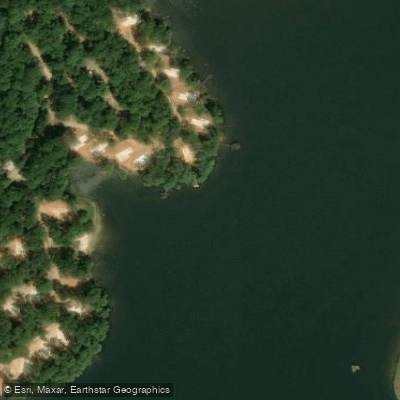
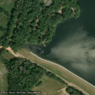
Learn how to get on Shadow Lake. Uncover great paddling access points, boat ramps, and all the facilities you need for an unforgettable day on the water. Some locations shown may border or include private property. Always check property boundaries and applicable regulations before visiting. PaddleWays's Public & Private Land layer can help you plan your access with confidence.
Paddle smarter with real-time insights
Whether you're en route and conditions shift or you're looking for the best spot based on current flows, we enable you to make informed decisions on the fly.








Find Places to Paddle

Over 400,000 Places to Paddle
Every user gets free access to launch points, boat ramps, and public property parcels.


Water and weather conditions (10 day forecast)
See the best times to paddle Shadow Lake and check the forecast before you go.
No forecast data available.
Paddling near Shadow Lake

Pearl River
Yazoo River
Ross R Barnett Reservoir
Pelahatchie Creek
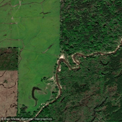
Strong River
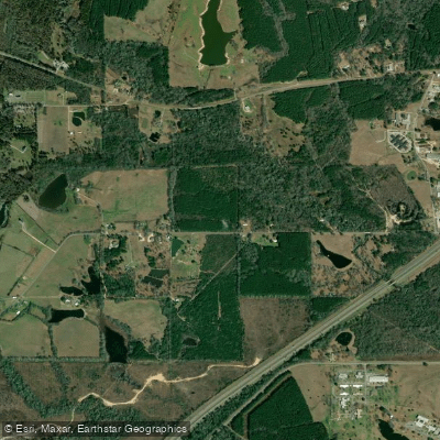
Leaf River
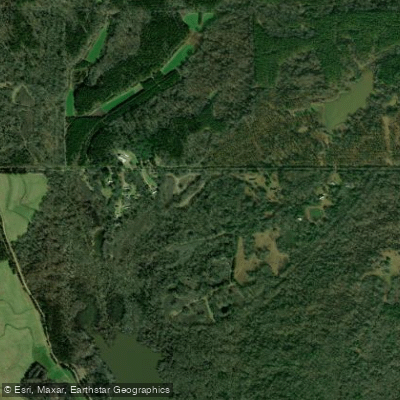
Big Black River
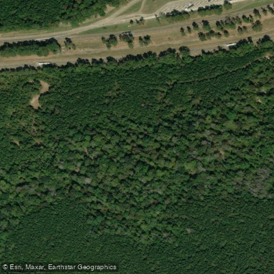
Line Creek
Lake Ross Barnett
Explore Mississippi waters
Top paddling waters
Popular Cities
Loading popular cities...
Explore near Shadow Lake
Access points
Nearby waters
More in Mississippi

Smarter Paddling Starts in the App.
Paddleways gives you everything you need to plan smarter, paddle better, and own every trip from first launch to takeout.