Leaf River
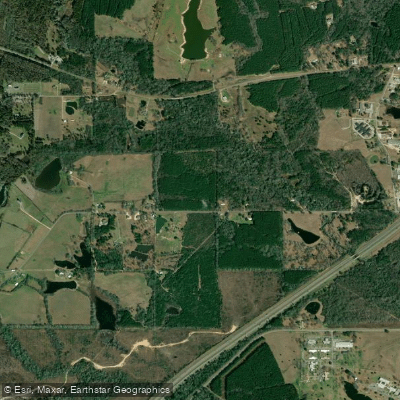
Leaf River
- Boat Ramps
- 9
- Access Points
- 9
- Campsites
- 6
The Leaf River is a significant waterway in southeastern Mississippi, originating near the town of Forest and flowing southeastward for approximately 180 miles before joining the Chickasawhay River to form the Pascagoula River. The river drains a watershed of about 3,400 square miles, encompassing parts of the Mississippi Pine Belt region.
Paddling opportunities on the Leaf River range from scenic flatwater sections to more challenging stretches with Class I-II rapids. The Upper Leaf River Blueway, starting near Eastabuchie and ending in Hattiesburg, offers a serene flatwater experience suitable for beginners. Downstream from Hattiesburg, the river becomes more dynamic, with sections like the Highway 590 to Eastabuchie run featuring numerous riffles, easy rapids, and a 3-4 foot waterfall known as Gordon's Rock.
The overall difficulty of the Leaf River varies from flatwater to Class II, making it accessible to paddlers with basic to intermediate skills. However, some sections may require more experience, especially during high water periods.
Spring and fall are generally the best seasons for paddling the Leaf River, offering comfortable temperatures and adequate water levels. Summer can be hot and humid, while winter paddling requires proper cold-water gear.
The river corridor supports a diverse ecosystem, with towering bluffs, dense forests, and river bottom swamps resembling tropical jungles. Paddlers may encounter various wildlife, including birds, turtles, and occasionally alligators in the lower sections.
Key landmarks include the 70-foot bluffs near Highway 590, Chain Park in Hattiesburg where the Bouie River joins the Leaf, and the newly developed Sims Road access point. The river passes through or near several towns, including Hattiesburg, New Augusta, and Beaumont, providing multiple access points for day trips or longer expeditions.
Historically, the Leaf River played a role in the timber industry and early settlement of the region. Today, it's an important recreational resource, with the Pinebelt Blueways initiative promoting its use for eco-tourism.
Safety considerations include checking water levels before paddling, being aware of strainers and log jams, and respecting private property along the banks. Multi-day trips are possible, with several campgrounds and access points allowing for extended journeys down to the confluence with the Pascagoula River.
The Leaf River offers a quintessential Southern river experience, combining natural beauty, mild whitewater, and rich cultural history, making it a premier paddling destination in Mississippi.
Water access, boat ramps & amenities
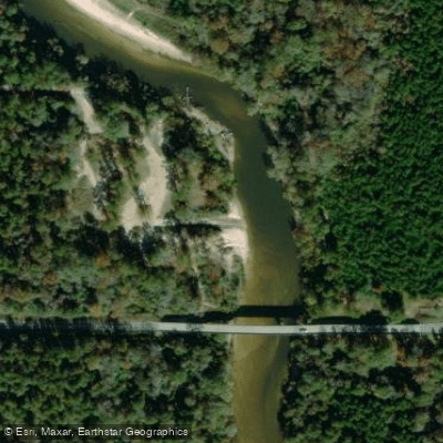
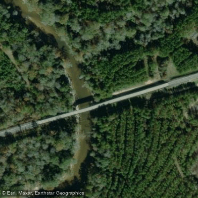
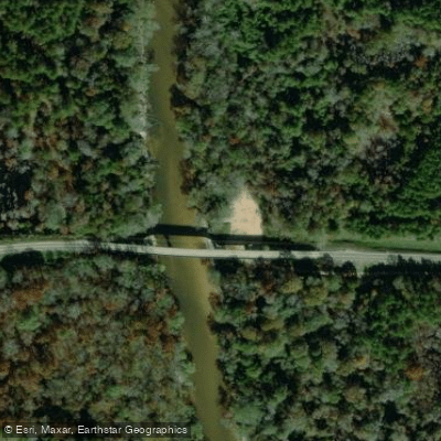
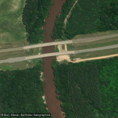
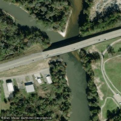
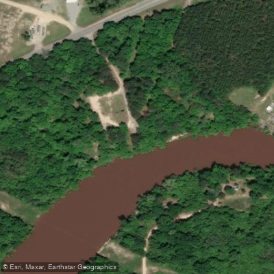
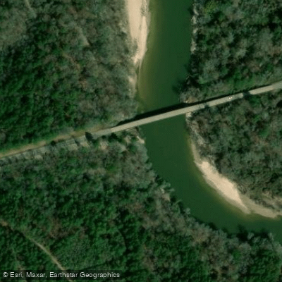
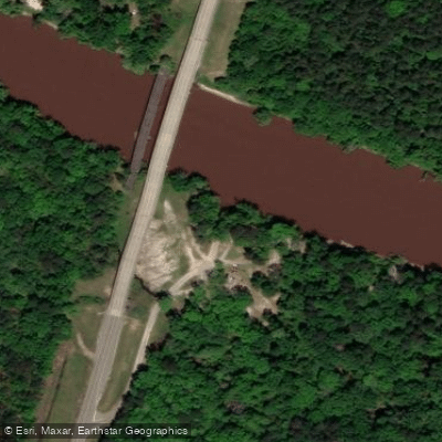
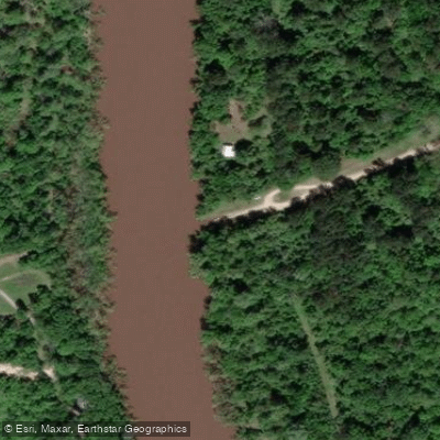
Learn how to get on Leaf River. Uncover great paddling access points, boat ramps, and all the facilities you need for an unforgettable day on the water. Some locations shown may border or include private property. Always check property boundaries and applicable regulations before visiting. PaddleWays's Public & Private Land layer can help you plan your access with confidence.
Paddle smarter with real-time insights
Whether you're en route and conditions shift or you're looking for the best spot based on current flows, we enable you to make informed decisions on the fly.








Find Places to Paddle

Over 400,000 Places to Paddle
Every user gets free access to launch points, boat ramps, and public property parcels.


Water and weather conditions (10 day forecast)
See the best times to paddle Leaf River and check the forecast before you go.
LEAF RIVER NR COLLINS, MS
All Flow Stations
Paddling near Leaf River

Pearl River

Pascagoula River
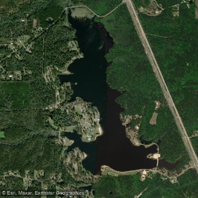
Geiger Lake
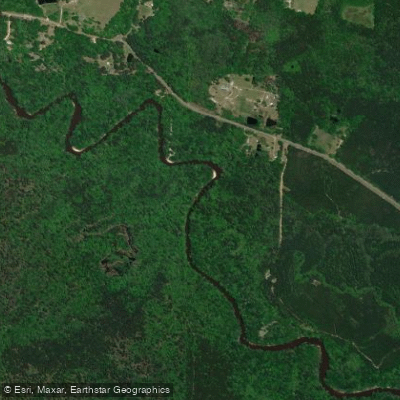
Black Creek
Bouie River
Lake Bill Waller
Tallahala Creek
Lake Perry
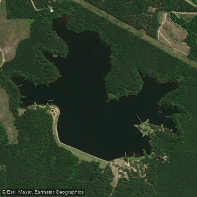
Lake Mike Connor
Explore Mississippi waters
Top paddling waters
Popular Cities
Loading popular cities...
Explore near Leaf River
Access points
Nearby waters
More in Mississippi

Smarter Paddling Starts in the App.
Paddleways gives you everything you need to plan smarter, paddle better, and own every trip from first launch to takeout.