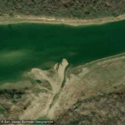
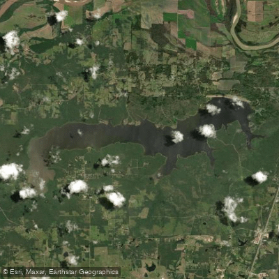
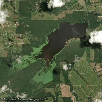
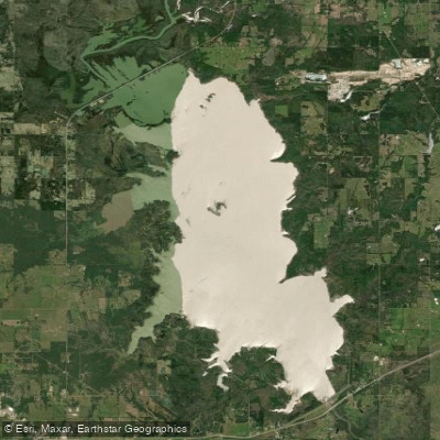
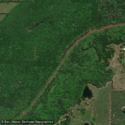
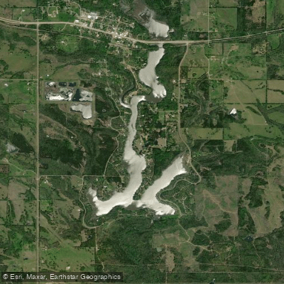
The Red River flows 1,360 miles from its origins in the Texas Panhandle through Oklahoma, Arkansas, and Louisiana before joining the Atchafalaya River system. Within the specified counties, this waterway forms much of the Texas-Oklahoma border and continues eastward through northwest Louisiana, creating a distinctive corridor through the southern Great Plains and into the Gulf Coastal Plain. The river's name derives from the reddish sediment it carries, originating from Permian red beds in its upper reaches. This distinctive coloration characterizes the waterway throughout its course.
Along the Texas-Oklahoma border, the river flows through counties including Hardeman, Wilbarger, Wichita, Clay, Montague, Cooke, Fannin, Lamar, and Bowie in Texas, with corresponding Oklahoma counties including Harmon, Cotton, Jefferson, Love, Marshall, and McCurtain. In Louisiana, it passes through Bossier, Caddo, Red River, Natchitoches, Grant, Rapides, Avoyelles, Concordia, and Catahoula parishes.
Paddling opportunities exist primarily in Louisiana where the river maintains more consistent water levels. The stretch from below Denison Dam near the Texas-Oklahoma border to Lake Texoma offers Class I-II conditions when water is released for power generation. In Louisiana, from below Alexandria through Natchitoches Parish, paddlers encounter calmer waters suitable for flatwater canoeing and kayaking, though quicksand remains a significant hazard requiring caution. The river's flow is highly seasonal and rainfall-dependent in its upper reaches. Above Lake Texoma, sections through Hardeman, Wilbarger, and Wichita counties often become too shallow for navigation except during high water periods. Best paddling conditions typically occur from late winter through late spring when rainfall is more abundant.
Wildlife includes abundant waterfowl, wading birds such as great blue herons and egrets, white-tailed deer along the banks, and various fish species including catfish, bass, and striped bass. Alligators inhabit Louisiana sections. Riparian vegetation transitions from mesquite and scrub in western counties to bottomland hardwoods, cypress, and tupelo in Louisiana.
Historical significance includes its role as a boundary in the Adams-Onís Treaty and the Red River Campaign of 1864. The Great Raft, a massive logjam that once blocked navigation for more than 150 miles in Louisiana, profoundly shaped settlement patterns until its removal in the 1870s created raft lakes including Lake Bistineau.
Access points include Denison Dam area in Grayson County, various locations near Shreveport-Bossier City, Natchitoches along the Cane River, and Alexandria-Pineville. Navigation requires careful planning due to shifting sandbars, quicksand, private land ownership limiting bank access, and unpredictable water levels. Oklahoma law considers the river wholly within Oklahoma jurisdiction despite forming the state boundary, affecting regulations. Multi-day trips are possible in Louisiana sections with proper shuttle arrangements and awareness of limited access points.