Pat Mayse Lake
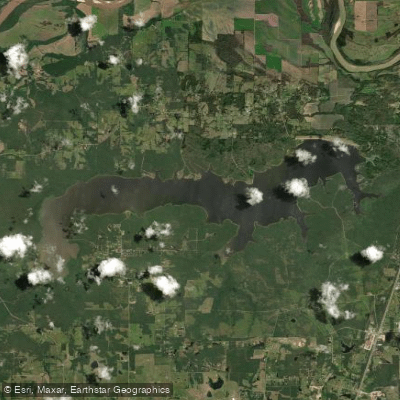
Pat Mayse Lake
- Boat Ramps
- 8
- Access Points
- 8
- Campsites
- 4
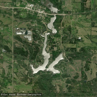
Pat Mayse Lake, located in Lamar County, Texas, offers paddlers a 5,900-acre expanse with 67 miles of shoreline to explore. The lake is situated in the Red River Basin, approximately 12 miles north of Paris, Texas. Its gently rolling grasslands and mixed hardwood forests studded with mature pines provide a scenic backdrop for paddling adventures.
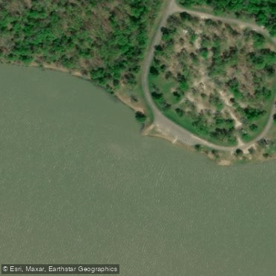
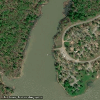
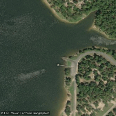
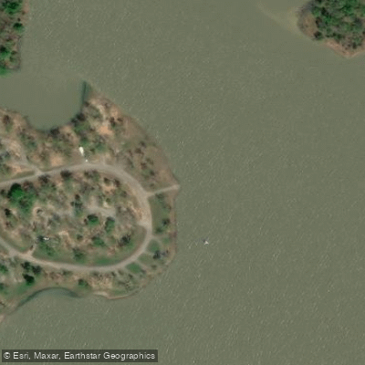
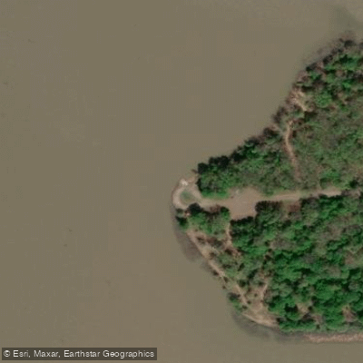
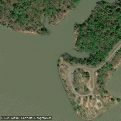
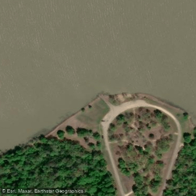
The lake features multiple access points for launching, including Sanders Cove, Lamar Point, Clay Bluff, Pat Mayse West, and Pat Mayse East. These areas offer concrete boat ramps with varying amenities such as docks and parking facilities. Paddlers should be aware that the area was once a military artillery range in the 1940s, and any remaining ordnance should not be touched or handled.
Pat Mayse Lake is known for its excellent fishing opportunities, with species such as largemouth bass, white crappie, sunfish, striped bass, and catfish inhabiting its waters. The lake's submerged structure, brush piles, and aquatic vegetation provide ample cover for fish, particularly in the upper part of the lake.
Wildlife enthusiasts will appreciate the abundance of fauna in and around the lake. The area serves as a resting and feeding habitat for migratory waterfowl, with the nearby Red River Bottoms attracting large numbers of birds. Other wildlife includes deer, squirrels, rabbits, and various furbearers.
Paddlers can enjoy the lake year-round, with campgrounds and day-use areas providing amenities such as picnic facilities, drinking water, and boat ramps. The Pat Mayse East Campground offers 85 sites with electric hookups, pit toilets, and a dump station.
While specific paddling routes are not detailed, the lake's numerous coves and inlets provide ample opportunities for exploration. Paddlers should be mindful of other recreational activities on the lake, including motorized boating and fishing.
The lake's calm waters and picturesque surroundings create an ideal setting for a peaceful paddling experience, allowing visitors to immerse themselves in the natural beauty of East Texas.
Water access, boat ramps & amenities
Learn how to get on Pat Mayse Lake. Uncover great paddling access points, boat ramps, and all the facilities you need for an unforgettable day on the water. Some locations shown may border or include private property. Always check property boundaries and applicable regulations before visiting. PaddleWays's Public & Private Land layer can help you plan your access with confidence.
Paddle smarter with real-time insights
Whether you're en route and conditions shift or you're looking for the best spot based on current flows, we enable you to make informed decisions on the fly.








Find Places to Paddle

Over 400,000 Places to Paddle
Every user gets free access to launch points, boat ramps, and public property parcels.


Water and weather conditions (10 day forecast)
See the best times to paddle Pat Mayse Lake and check the forecast before you go.
No forecast data available.
Paddling near Pat Mayse Lake

Red River
Lake Crook
Hugo Lake
Lake Gibbons
Sulphur River
Lake Crockett
Coffee Mill Lake
South Sulphur River
Lake Raymond Gary
Explore Texas waters
Top paddling waters
Popular Cities
Loading popular cities...
Explore near Pat Mayse Lake
Access points
Nearby waters
More in Texas

Smarter Paddling Starts in the App.
Paddleways gives you everything you need to plan smarter, paddle better, and own every trip from first launch to takeout.