South Sulphur River
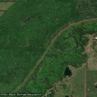
South Sulphur River
- Boat Ramps
- 7
- Access Points
- 7
- Campsites
- 8
The South Sulphur River originates near Leonard in southern Fannin County, Texas, flowing eastward and southeastward through Hunt, Hopkins, and Delta counties before joining the North Sulphur River to form the main Sulphur River at the convergence of Lamar, Delta, and Hopkins counties. This approximately 50-mile waterway drains a significant portion of northeast Texas's blackland prairie and post oak savannah ecosystems.
The river's character varies considerably along its course. In its upper reaches through Fannin and Hunt counties, the South Sulphur maintains a relatively narrow channel with moderate current, flowing through agricultural bottomlands interspersed with hardwood forests. As it progresses eastward through Hopkins County, the river widens and slows, particularly where it passes through Cooper Lake, a major reservoir that dramatically altered the river's natural flow regime. Below the lake, the river resumes a more natural character through Delta County, meandering through forested bottomlands before its confluence with the North Sulphur.
Cooper Lake serves as the dominant feature along the South Sulphur River system, created by damming the river for flood control and water supply. The reservoir spans portions of Hopkins and Delta counties, offering flatwater paddling opportunities across its expansive surface, though wind can create challenging conditions on open water sections.
The river corridor supports typical northeast Texas riparian vegetation, including bald cypress, water oak, willow, and sycamore along the banks, with understory species like buttonbush and various vines. Wildlife includes white-tailed deer, beaver, raccoon, and numerous bird species such as great blue herons, wood ducks, and various songbirds. The waters hold catfish, bass, and sunfish species common to East Texas streams.
Access to the South Sulphur River is primarily through Cooper Lake State Park facilities and various county road crossings, though many sections flow through private property requiring permission for access. The communities of Cooper, Sulphur Springs, and Commerce serve as the nearest towns with services for paddlers exploring this watershed.
Seasonal flow patterns follow typical Texas precipitation cycles, with higher water levels during spring months and potential low-flow conditions during summer and fall. Spring flooding can render the river dangerous or impassable, while late summer may expose extensive gravel bars and sandbars in free-flowing sections.
The river's name derives from sulphur springs historically found in the watershed, though these features are less prominent today. The region's agricultural heritage remains evident in the surrounding landscape, with the river serving as an important drainage system for farmland throughout its basin.
Water access, boat ramps & amenities
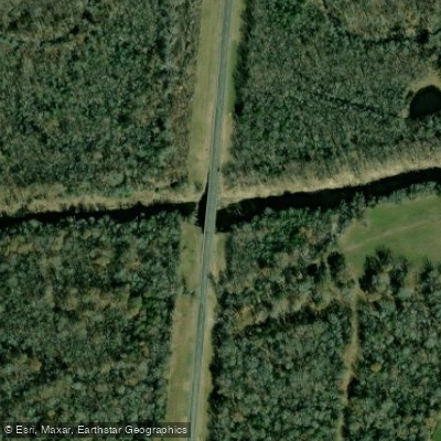
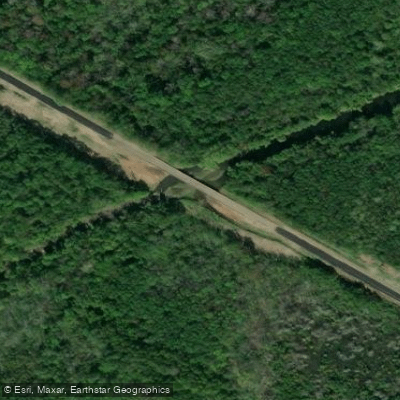
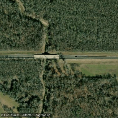
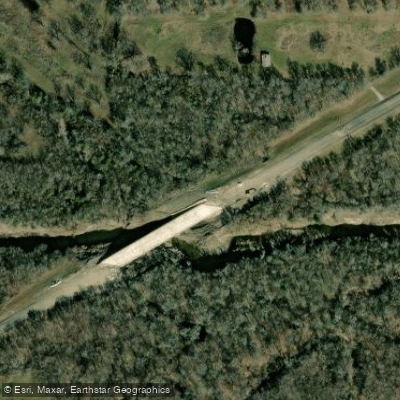
Learn how to get on South Sulphur River. Uncover great paddling access points, boat ramps, and all the facilities you need for an unforgettable day on the water. Some locations shown may border or include private property. Always check property boundaries and applicable regulations before visiting. PaddleWays's Public & Private Land layer can help you plan your access with confidence.
Paddle smarter with real-time insights
Whether you're en route and conditions shift or you're looking for the best spot based on current flows, we enable you to make informed decisions on the fly.








Find Places to Paddle

Over 400,000 Places to Paddle
Every user gets free access to launch points, boat ramps, and public property parcels.


Water and weather conditions (10 day forecast)
See the best times to paddle South Sulphur River and check the forecast before you go.
S Sulphur Rv at SH 11 nr Commerce, TX
All Flow Stations
Paddling near South Sulphur River

Lake Tawakoni
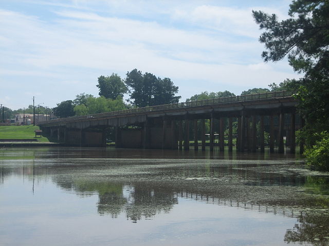
Sabine River
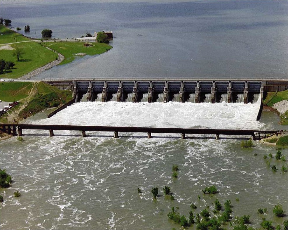
Lavon Lake

Red River
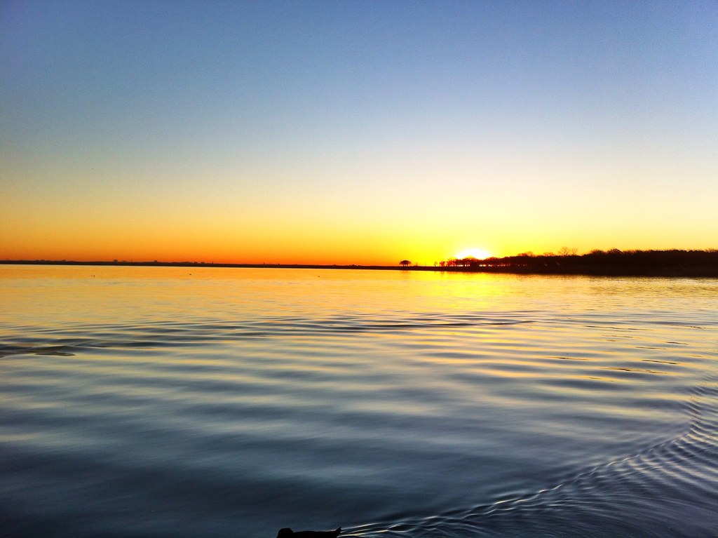
Lake Lewisville

Trinity River
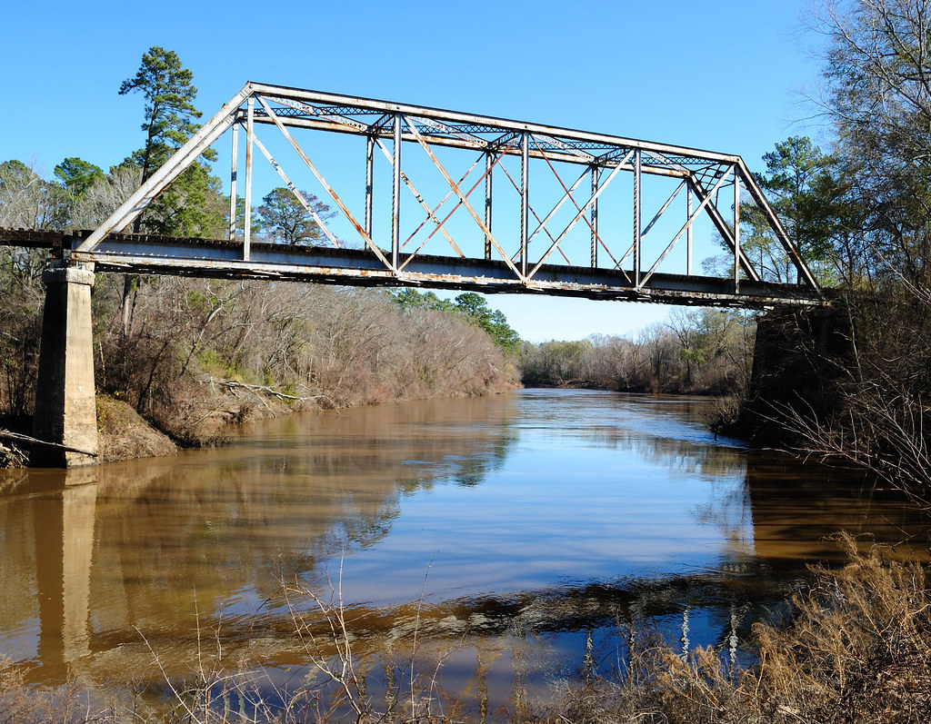
Neches River
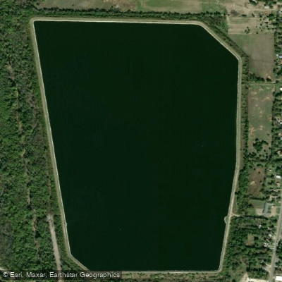
Greenville Reservoir Number Five
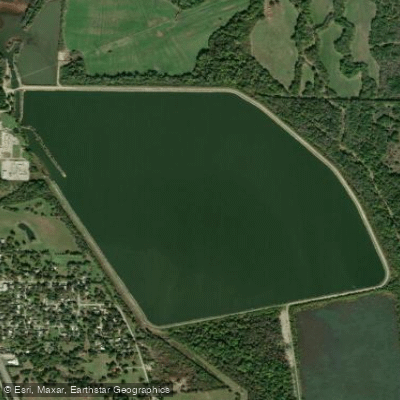
Greenville Reservoir Number Six
Explore Texas waters
Top paddling waters
Popular Cities
Loading popular cities...
Explore near South Sulphur River
Access points
- South Sulphur River Boat Ramp
- South Sulphur River Boat Ramp
- South Sulphur River Boat Ramp
- South Sulphur River Boat Ramp
- South Sulphur River Boat Ramp
- South Sulphur Boat Ramp
- South Sulphur Boat Ramp
- Cooper Dam Em Spillway Bridge
- South Sulphur River Bridge
- Brushy Creek Bridge
- Cowleech Fork Sabine River Bridge
- Loring Creek Bridge
- All 20 spots
Nearby waters
More in Texas

Smarter Paddling Starts in the App.
Paddleways gives you everything you need to plan smarter, paddle better, and own every trip from first launch to takeout.