Brownfield Bog Wildlife Management Area Access

Brownfield Bog Wildlife Management Area Access
The Brownfield Bog Wildlife Management Area (now Major Gregory Sanborn WMA) offers multiple access points for paddling and wildlife viewing across approximately 5,920 acres of diverse wetlands and upland habitats.
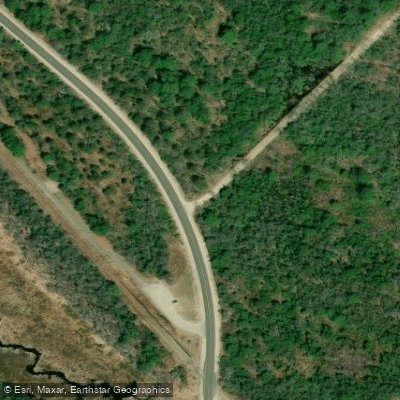
Primary access is via Bog Road off Route 160 in Brownfield, where a small dirt parking area accommodates about five cars and provides canoe launch access to the bog system; additional parking and canoe access points are available midway down Bog Road and from other routes including Route 5/113 and Island Road.
The area is popular for canoeing, kayaking, and wildlife observation, with well-maintained trails and interpretive signage, though Bog Road's beginning is privately owned and users should respect any road closure signs.
Nearby points of interest
Find excellent paddling spots, easy access to boat ramps, and all the amenities you need for a memorable day. Your adventure starts here.
Water and weather conditions (10 day forecast)
Check the forecast at Brownfield Bog Wildlife Management Area Access before you go paddling.
No forecast data available.
Paddling near Brownfield Bog Wildlife Management Area Access
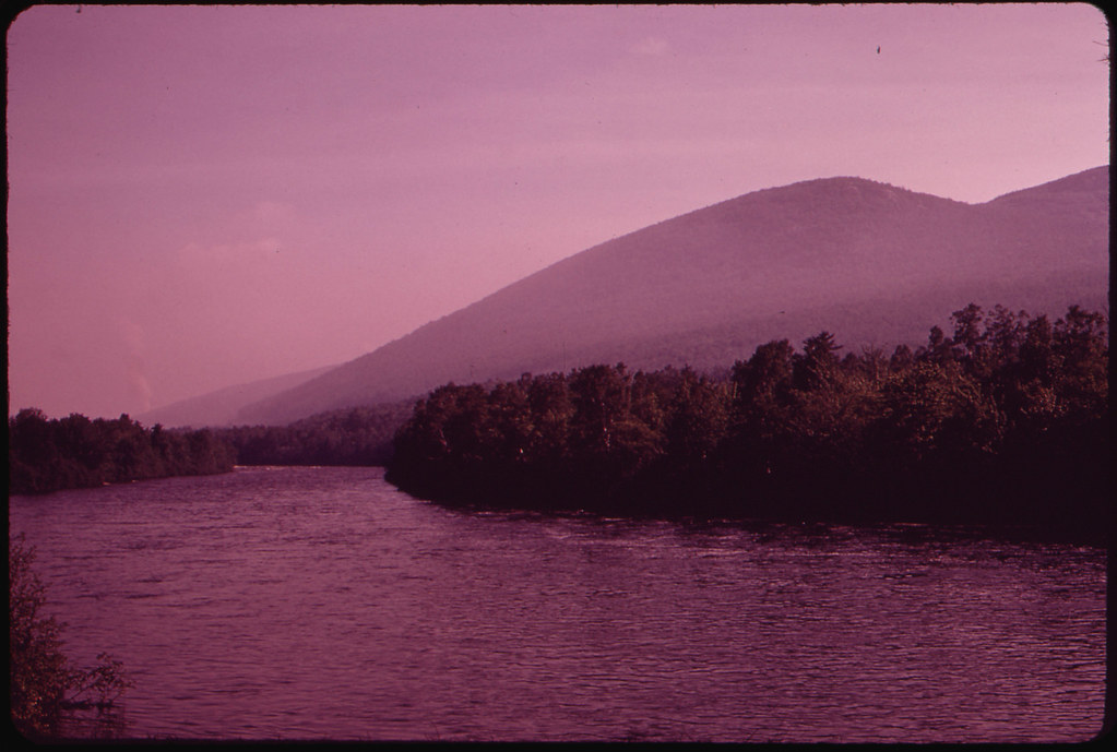
Androscoggin River
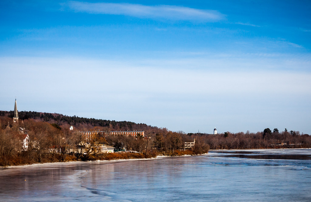
Kennebec River
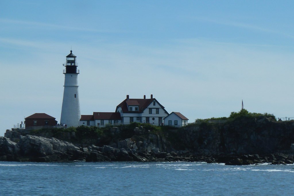
Casco Bay
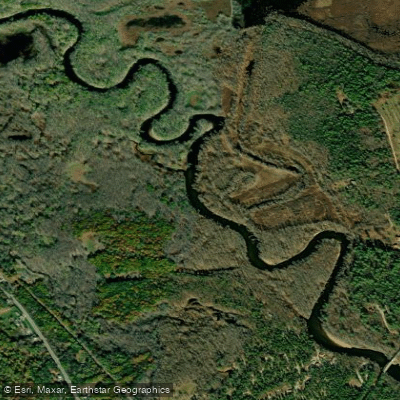
Saco River
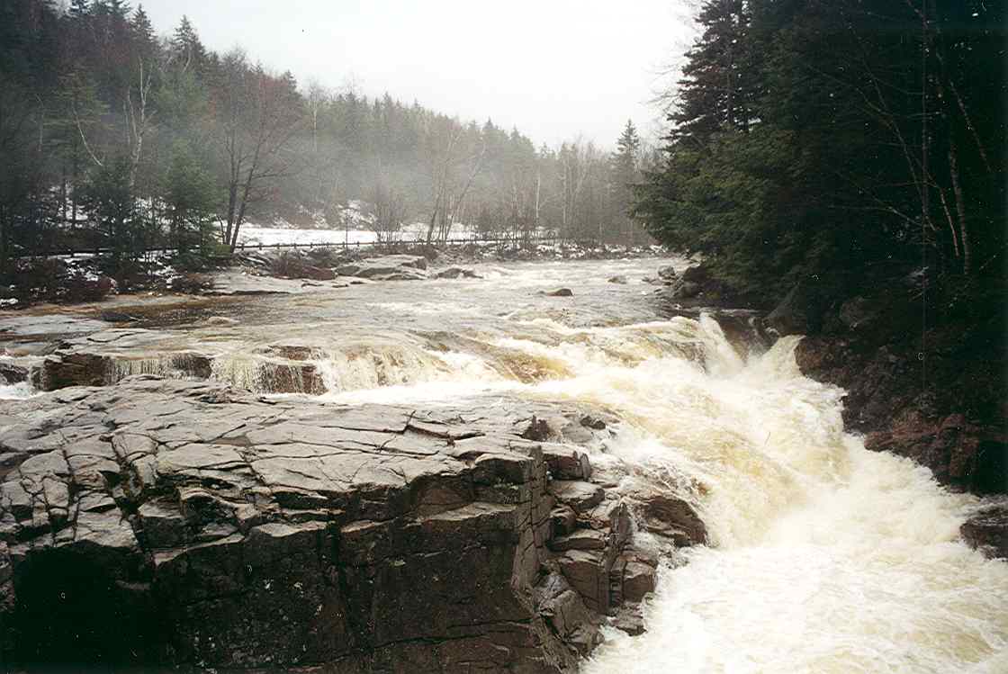
Swift River
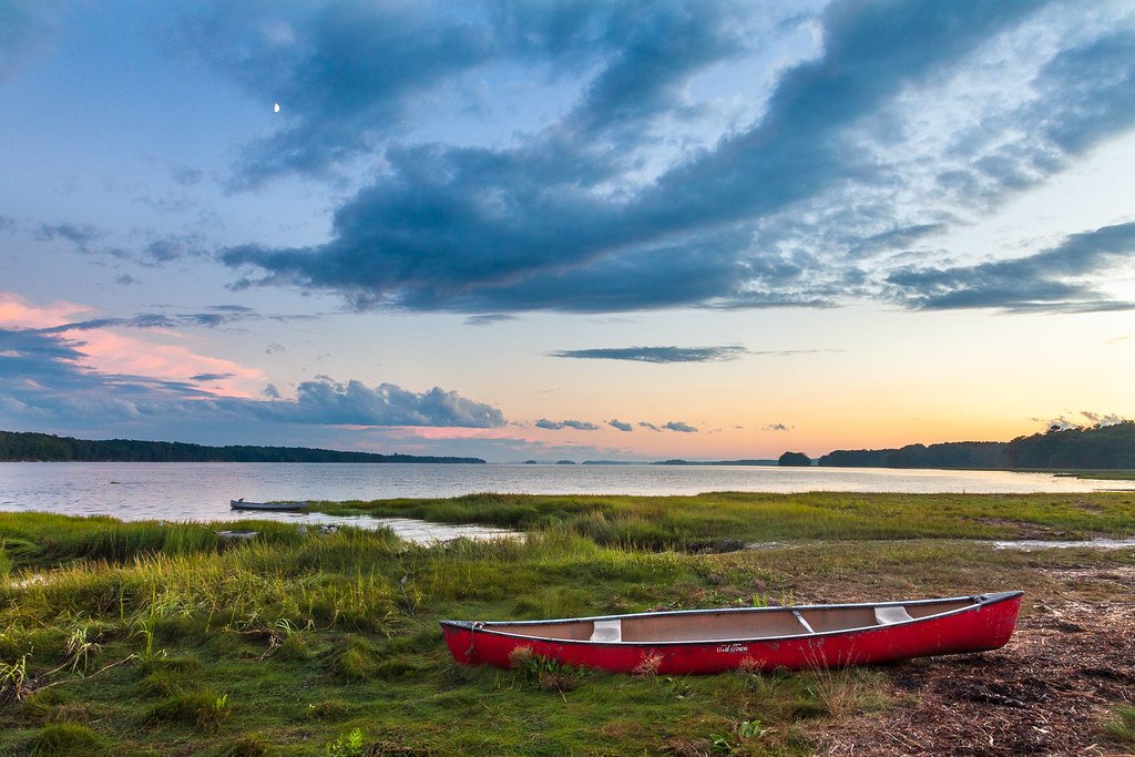
Maquoit Bay
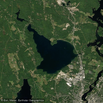
The Basin
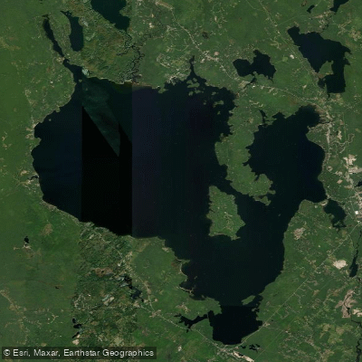
Sebago Lake
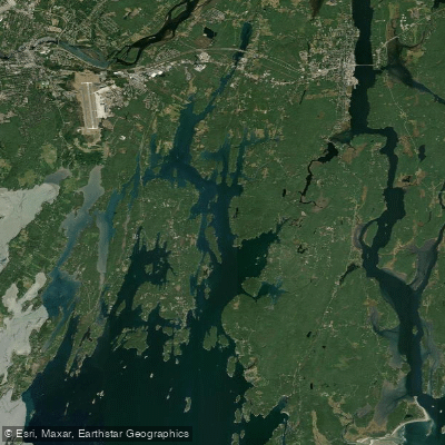
New Meadows River
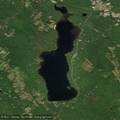
Tripp Pond
Maine licenses and regulations
Explore Maine waters
Top paddling waters
No waters available right now.
Popular Cities
Loading popular cities...
Explore near Brownfield Bog Wildlife Management Area Access
Nearby spots
- Bald Bog Hand Boat Ramp
- Clay Pond Hand Boat Ramp
- Lovewell Pond Boat Ramp
- Moose Pond Boat Ramp
- Saco River Boat Ramp
- Brownfield Bog Wildlife Management Area Access
- Canal Bridge Campground
- On the Saco Family Campground
- River Run Campground
- Woodland Acres Campground
- Saco River (Denmark Road) Parking
- Saco River (Lovell Road) Parking
- All 13 nearby spots
Nearby waters
More in Maine

Smarter Paddling Starts in the App.
Paddleways gives you everything you need to plan smarter, paddle better, and own every trip from first launch to takeout.