Mattawamkeag River System Wildlife Management Area Parking
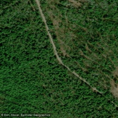
Mattawamkeag River System Wildlife Management Area Parking
The Mattawamkeag River System Wildlife Management Area spans over 11,000 acres across four units with multiple access points for paddling and fishing, including hand-carry boat launches at Mud Pond and river put-ins along the scenic Mattawamkeag River.
Access varies by unit: the North Unit is best reached by watercraft or forest roads (Chipper Road off Route 170), the Mattagodus Unit via canoe launch at Route 170 bridge, the Page Farm Unit via Lower Drew Road with a river launch, and the South Unit via Mud Pond Road or watercraft from the river.
The area offers 15 miles of undeveloped riverfront with Class II-IV rapids suitable for skilled paddlers, plus opportunities for wildlife viewing and backcountry camping.
Nearby points of interest
Find excellent paddling spots, easy access to boat ramps, and all the amenities you need for a memorable day. Your adventure starts here.
Water and weather conditions (10 day forecast)
Check the forecast at Mattawamkeag River System Wildlife Management Area Parking before you go paddling.
No forecast data available.
Paddling near Mattawamkeag River System Wildlife Management Area Parking

Penobscot River

Kennebec River

Penobscot Bay

Kenduskeag Stream

Fields Pond

Bagaduce River

Pushaw Lake

Hermon Pond

Union River Bay

Silver Lake
Maine licenses and regulations
Explore Maine waters
Top paddling waters
No waters available right now.
Popular Cities
Loading popular cities...
Explore near Mattawamkeag River System Wildlife Management Area Parking
Nearby spots
Nearby waters
More in Maine

Smarter Paddling Starts in the App.
PaddleWays gives you everything you need to plan smarter, paddle better, and own every trip from first launch to takeout.