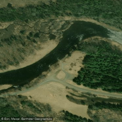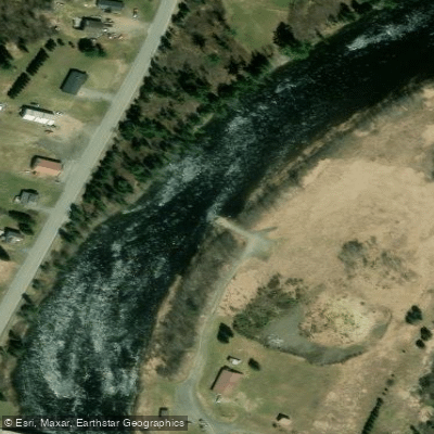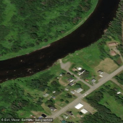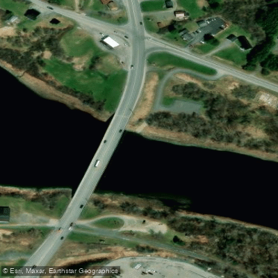
Curated by PaddleWays
RouteClass I–II
- Distance
- 9.6 mi
- Paddle time
- ~3 hrs
- Put-in & take-out
- Aroostook River Boat Ramp
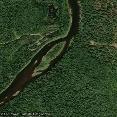
The Aroostook River is a scenic 112-mile waterway flowing through the heart of northern Maine's Aroostook County. Beginning at the confluence of Munsungun Stream and Millinocket Stream, it winds its way northeast through forested wilderness and rural farmlands before joining the Saint John River in New Brunswick, Canada.
Paddlers can experience a diverse range of conditions along the Aroostook, from gentle flatwater stretches ideal for beginners to challenging whitewater sections that will test even experienced kayakers. The river can be divided into several distinct paddling segments, each offering its own character and level of difficulty.
The upper reaches, from the headwaters to Ashland, provide a relatively easy paddle through pristine wilderness, with occasional Class I and II riffles. As the river progresses downstream through Presque Isle, Caribou, and Fort Fairfield, it alternates between peaceful flatwater and mild rapids, making it suitable for intermediate paddlers. The final stretch from Fort Fairfield to the Saint John River presents the most challenging whitewater, with Class II to V rapids that should only be attempted by skilled paddlers.
Spring and early summer typically offer the best water levels for paddling, especially for those seeking more exciting whitewater conditions. However, the river remains navigable for much of the season, with late summer and fall providing opportunities for more leisurely trips and excellent fishing.
The Aroostook River corridor is home to a rich variety of wildlife. Paddlers may spot moose, deer, bald eagles, and ospreys along the shoreline. The river is also renowned for its brook trout and landlocked salmon fishing, particularly in the spring and early summer months.
Several notable landmarks punctuate the journey downriver, including the Aroostook Valley Wildlife Refuge near Washburn and the historic town of Fort Fairfield. The river passes through or near several Aroostook County communities, including Masardis, Ashland, Presque Isle, Caribou, and Fort Fairfield, providing convenient access points and opportunities to resupply.
The Aroostook River played a significant role in the region's history, serving as a transportation route for Native Americans and early settlers, and later supporting the area's agricultural and timber industries. Today, it remains an important recreational resource for locals and visitors alike.
Paddlers should always check current water levels and weather conditions before embarking on a trip. Life jackets are required, and it's advisable to paddle with a partner, especially on more challenging sections. Local outfitters in Presque Isle and Caribou offer rentals, shuttles, and guided trips for those unfamiliar with the river.
For those seeking a multi-day adventure, a 70-mile trip from Ashland to Fort Fairfield, which typically takes 3-5 days to complete. This journey offers a perfect blend of scenic beauty, mild rapids, and opportunities to camp along the shore, showcasing the best of what the Aroostook River has to offer.
Whether you're looking for a peaceful day float, an exhilarating whitewater run, or a multi-day wilderness expedition, the Aroostook River provides a quintessential Maine paddling experience, set against the backdrop of the state's beautiful and rugged northern landscape.
Curated routes
Hand-picked by the PaddleWays team, with put-ins, take-outs, paddle times and the hazards along the way.
RouteClass I–II
RouteClass I
RouteClass II
RouteClass I
RouteClass I–II
Hazards
No paddler has reported a hazard here yet, so these are the dams, falls and big rapids on our map. Hazards change with flows and storms, so check them before you launch.
From the community
Nobody has shared a trip on Aroostook River yet. Paddle it, then tell the next paddler how it went.
See exactly where the public can get on and off the river. Launch points and boat ramps are paired with PaddleWays' public land data so you know where you can legally land.
Public shoreline
0%of the river's shoreline is public
Most of the riverbank is private. Launch, land and camp only at public access points.
Flows, weather and a route-by-route verdict, so you know which stretch of the Aroostook River is worth paddling today.
All Flow Stations
Live flows, marked hazards and fresh trip reports from paddlers who were just on the water, all in one place.





Every user gets free access to launch points, boat ramps, and public property parcels.










Loading popular cities...
PaddleWays gives you everything you need to plan smarter, paddle better, and own every trip from first launch to takeout.