Curated by PaddleWays
RouteFlatwater
- Distance
- 7.8 mi
- Paddle time
- ~3 hrs
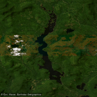
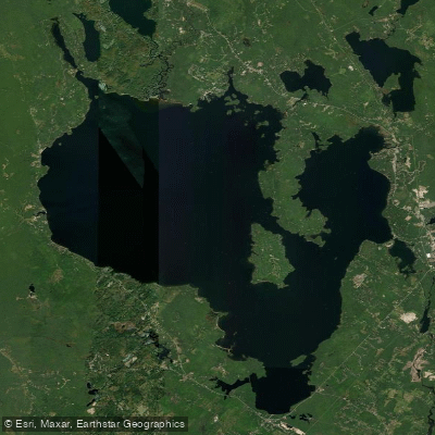
Aziscohos Lake is a remote 20-mile long lake in northwestern Maine near the New Hampshire border. Created by damming the Magalloway River in the early 20th century, it offers paddlers a wilderness experience with undeveloped shorelines, forests, islands, and mountain views. The lake is prone to high winds and waves, particularly in the afternoon, so early morning paddling is recommended.
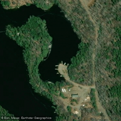
Access is available via the Green Top Road, with a boat launch at the northeast corner near Twin Brook campsites. The northern part of the lake is more protected and interesting to paddle, with islands to explore and the inflows of the Magalloway and Little Magalloway Rivers. Bosebuck Mountain Camps is located on the western shore.
Camping options include Black Brook Cove Campground at the southern end and Aziscohos Lake Wilderness Camping sites along the eastern shore and northern end. All campsites must be reserved in advance. Fires are only allowed with permits at designated sites.
Wildlife viewing opportunities include moose, loons, bald eagles, and various waterfowl. The lake is also known for brook trout fishing. An archaeological site dating back 13,000 years lies beneath the northern waters.
Paddlers should be prepared for remote conditions with limited facilities. Bring ample drinking water, food, and safety gear including PFDs, whistles, and lights for nighttime use. In October, expect daytime highs in the 50s-60s and nighttime lows potentially in the 20s.
The lake offers a classic Maine wilderness paddling experience, best enjoyed in summer and fall. Its remoteness and undeveloped character make it an excellent destination for those seeking solitude and natural beauty.
Curated routes
Hand-picked by the PaddleWays team, with put-ins, take-outs, paddle times and the hazards along the way.
RouteFlatwater
Hazards
No paddler has reported a hazard here yet, so these are the dams, falls and big rapids on our map. Hazards change with flows and storms, so check them before you launch.
From the community
Real trips from PaddleWays paddlers: which route they ran, how the water was, and what to watch for.
Loading trip reports
Kevin P.
Canoe •
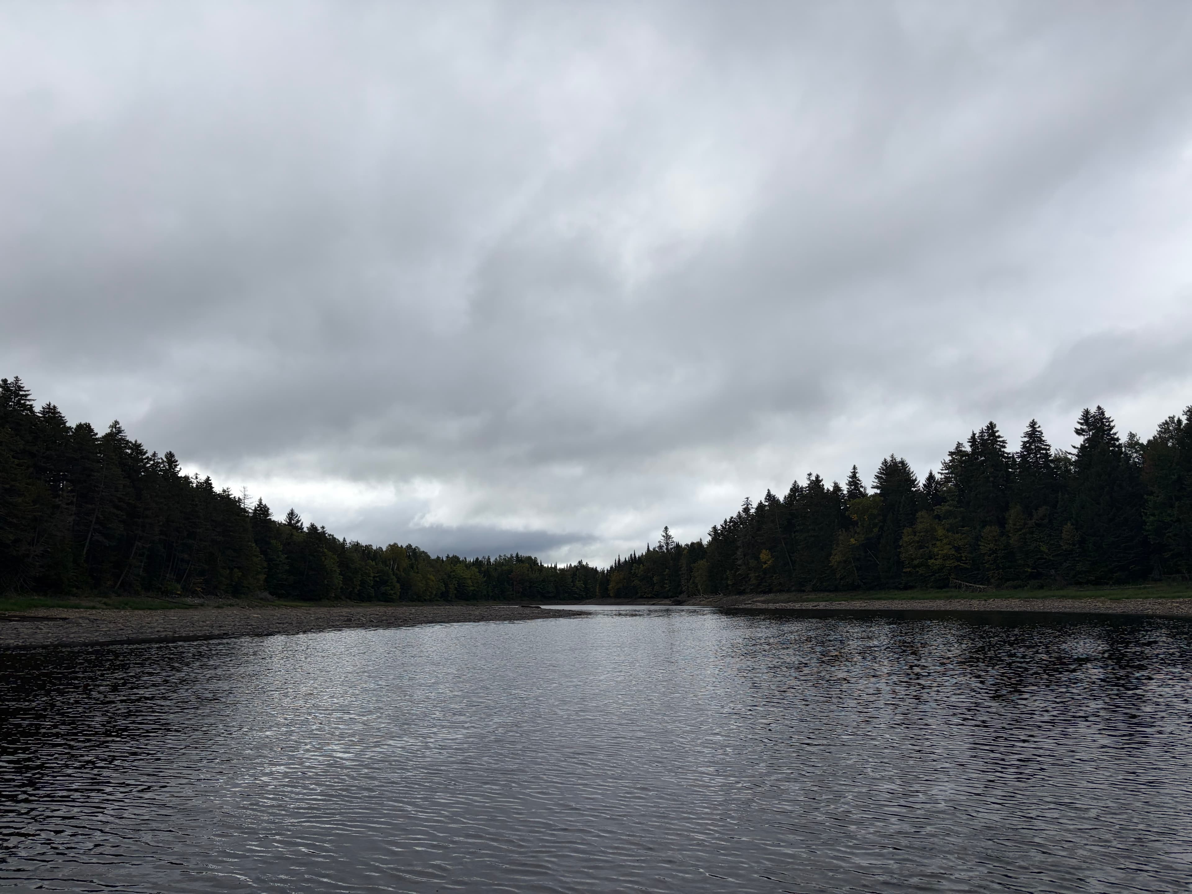
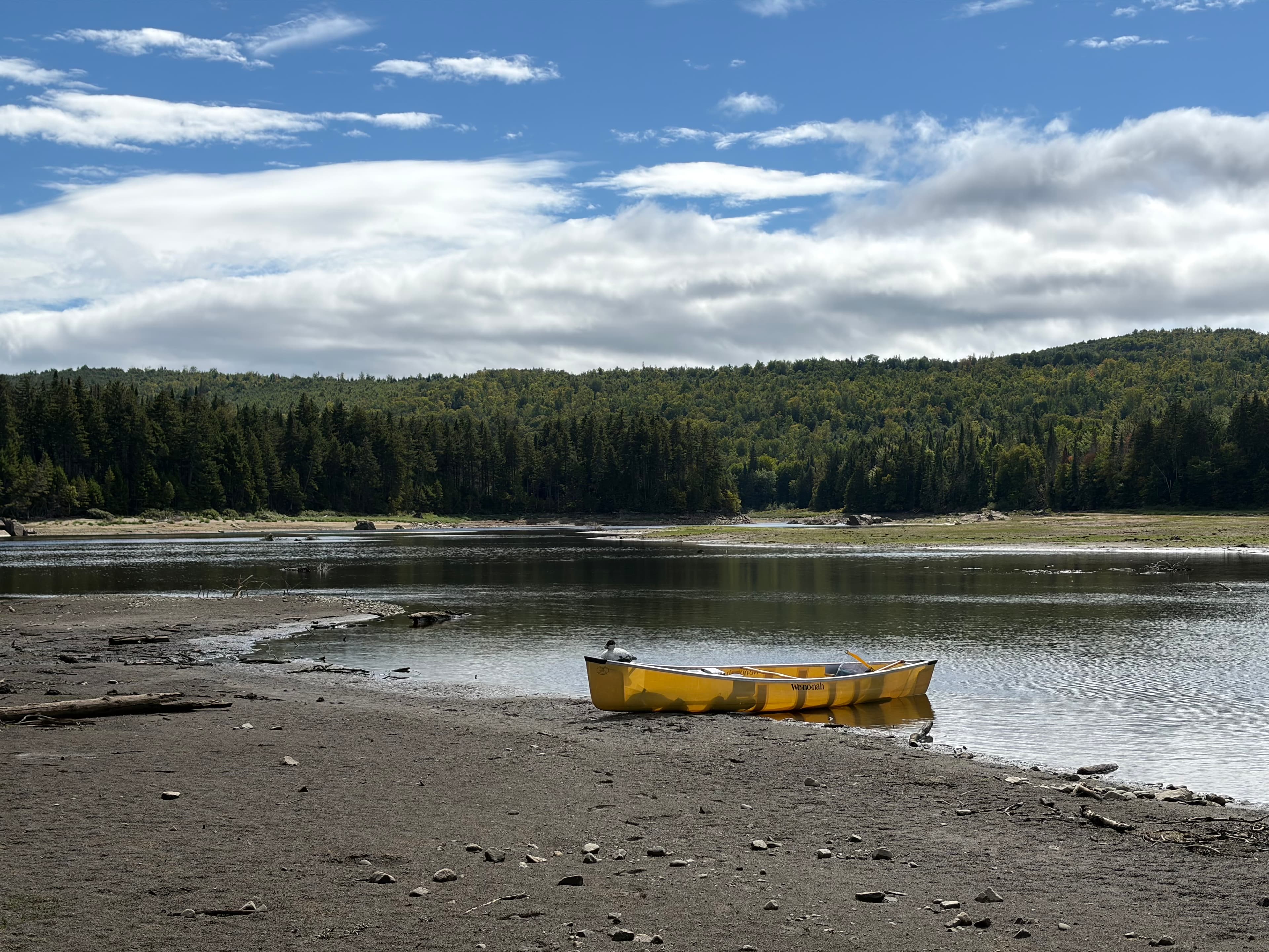
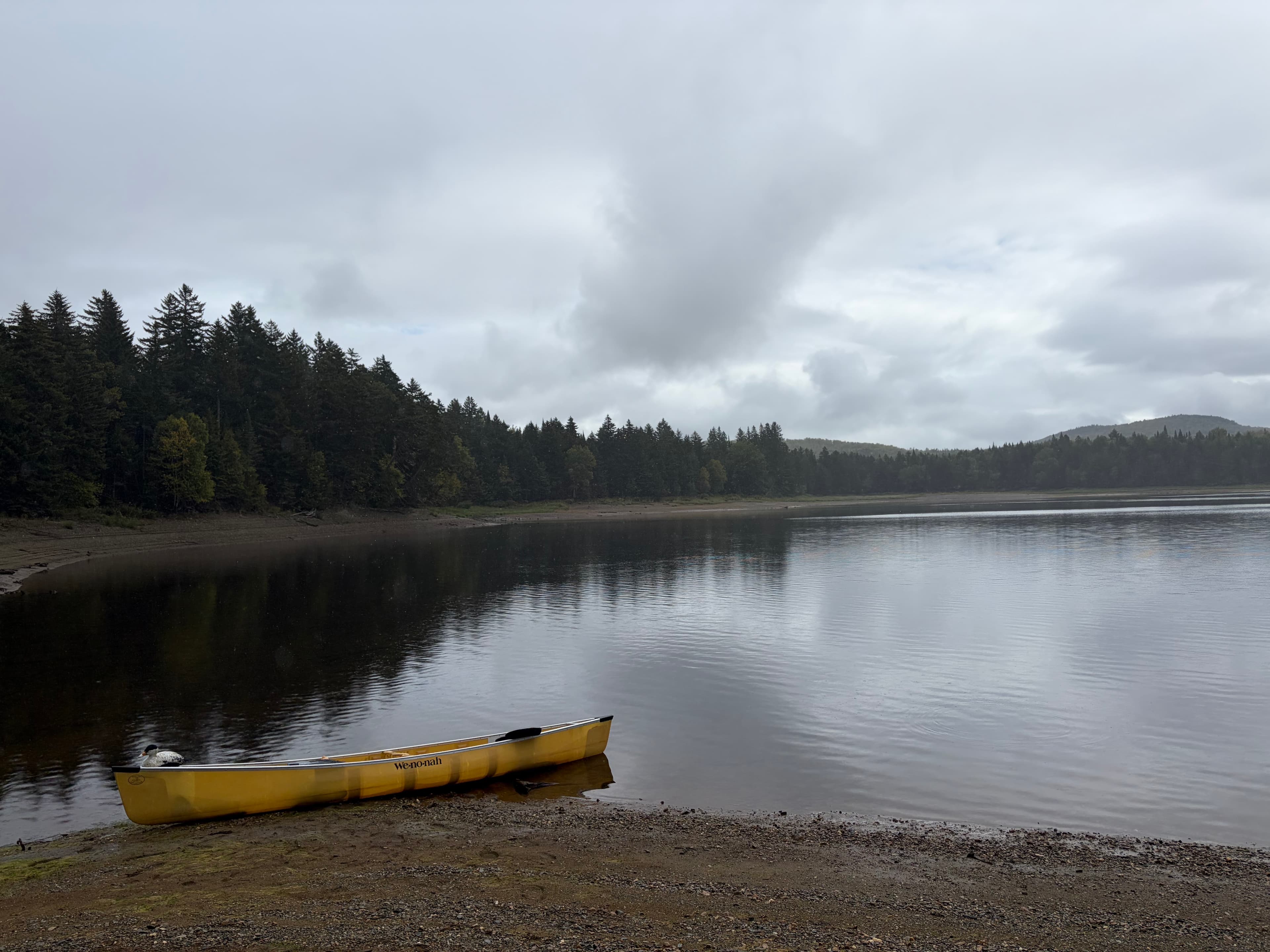
Upper Aziscohos Lake/Magalloway and Little Magalloway inlets
Flatwater paddle in upper Aziscohos Lake around the inlets from the Magalloway and Little Magalloway rivers, ‘upstream’ of the former Bosebuck Mountain camps.
 +2
See exactly where the public can get on and off the water. Launch points and boat ramps are paired with PaddleWays' public land data so you know where you can legally land.
Public shoreline
0%of the lake's shoreline is public
Most of the shoreline is private. Launch, land and camp only at public access points.
Weather, wind and a verdict for each route, so you know if Aziscohos Lake is worth paddling today.
No forecast data available.
Live flows, marked hazards and fresh trip reports from paddlers who were just on the water, all in one place.





Every user gets free access to launch points, boat ramps, and public property parcels.

Loading popular cities...
PaddleWays gives you everything you need to plan smarter, paddle better, and own every trip from first launch to takeout.