Curated by PaddleWays
RouteClass II–III
- Distance
- 5 mi
- Paddle time
- ~1.5 hrs
- Put-in → take-out
- Tobey Falls Trail Hand Launch → Sebec Lake Boat Ramp
Big Wilson Stream is a challenging whitewater river located in central Maine, flowing through Piscataquis and Franklin counties. This tributary of the Piscataquis River originates at Lower Wilson Pond and runs generally southeast before joining the Piscataquis near Willimantic. The river offers approximately 20 miles of paddling opportunities, divided into three main sections.
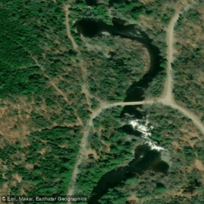
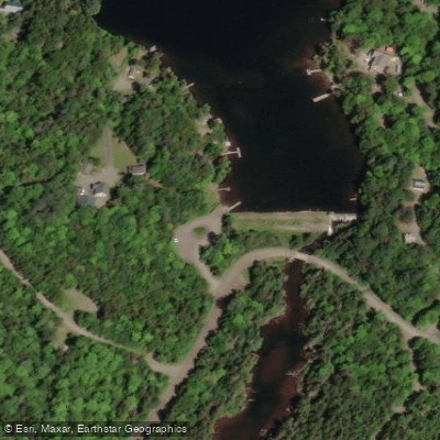
The upper 9-mile stretch from Lower Wilson Pond to Bodfish Crossing features continuous Class IV-V whitewater, requiring expert paddling skills and proper safety equipment. This technical run begins at a dam on Lower Wilson Pond and maintains its difficult character throughout. The middle section from Bodfish Crossing to Willimantic continues the whitewater adventure, though specific rapid classifications are not well documented. The lower portion from Willimantic to Earley's Landing eases in difficulty but offers scenic views, including Earley's Falls located just upstream of a bridge on Airport Road.
Big Wilson Stream's flow is largely dependent on snowmelt and rainfall, with optimal paddling typically occurring in spring and after heavy rains. The surrounding watershed supports diverse wildlife, with ducks and other waterfowl frequently spotted along the river's course.
Key landmarks include the dam at Lower Wilson Pond, Bodfish Crossing, and Earley's Falls. The latter can be viewed from a pull-off on ME-150, offering photographers a chance to capture the cascading water with a telephoto lens.
Lower Wilson Pond in Greenville, Bodfish Crossing, Willimantic, and Earley's Landing are available access points. These put-ins and take-outs allow for single or multi-section trips, though overnight camping options along the river are limited.
The stream's challenging nature demands respect from paddlers. Personal flotation devices are required, and paddlers should be prepared for variable weather conditions and potential wildlife encounters. Scouting rapids, especially on the upper section, is strongly advised.
While the Big Wilson Stream may not have the same historical significance as some of Maine's larger rivers, it represents a quintessential New England whitewater experience. Its remote setting and technical rapids attract skilled paddlers seeking an adventurous day on the water in the heart of Maine's wilderness.
Curated routes
Hand-picked by the PaddleWays team, with put-ins, take-outs, paddle times and the hazards along the way.
RouteClass II–III
RouteClass IV–V
Hazards
No paddler has reported a hazard here yet, so these are the dams, falls and big rapids on our map. Hazards change with flows and storms, so check them before you launch.
From the community
Nobody has shared a trip on Big Wilson Stream yet. Paddle it, then tell the next paddler how it went.
See exactly where the public can get on and off the river. Launch points and boat ramps are paired with PaddleWays' public land data so you know where you can legally land.
Public shoreline
6%of the river's shoreline is public
Most of the riverbank is private. Launch, land and camp only at public access points.
Flows, weather and a route-by-route verdict, so you know which stretch of the Big Wilson Stream is worth paddling today.
No forecast data available.
Live flows, marked hazards and fresh trip reports from paddlers who were just on the water, all in one place.





Every user gets free access to launch points, boat ramps, and public property parcels.










Loading popular cities...
PaddleWays gives you everything you need to plan smarter, paddle better, and own every trip from first launch to takeout.