Blue Hill Bay
- Saltwater
- Bay
Blue Hill Bay
- Saltwater
- Bay
- Sq. miles
- 37
- Boat Ramps
- 2
- Access Points
- 0
- Campsites
- 3
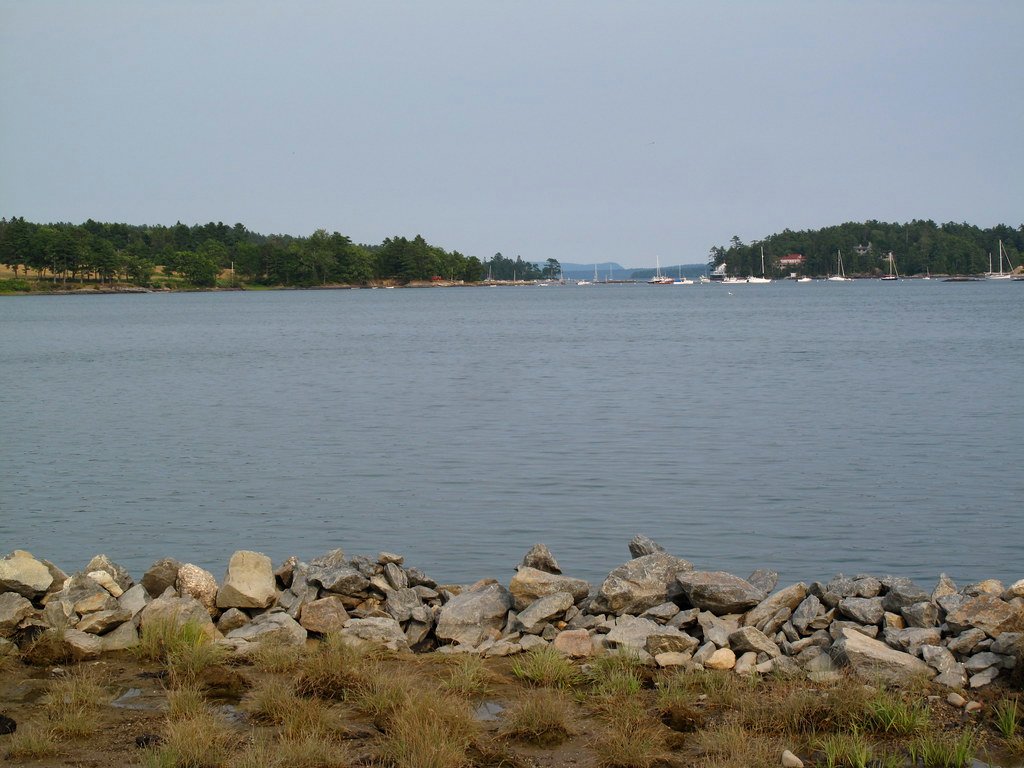
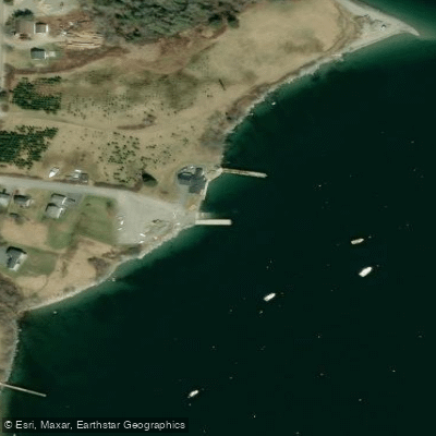
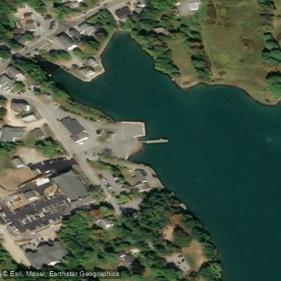
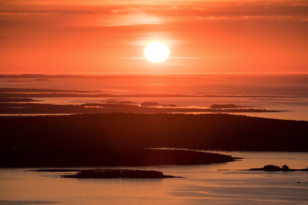
Blue Hill Bay is a sheltered saltwater bay on the western side of Mount Desert Island, Maine. It is protected from open ocean swell by a string of southern islands, resulting in generally calm and predictable water conditions akin to a saltwater lake, though it can become choppy in wind. The primary public access point for paddlers is the South Blue Hill Wharf, a public boat ramp managed by the Maine Department of Agriculture, Conservation and Forestry, located off Route 175 in South Blue Hill. This launch is tide-dependent and can be inaccessible by boat at low tide. Another launch point is behind the fire station on Water Street in Blue Hill, used by a local rental company. The bay is dotted with several small harbor islands, some of which are exposed at low tide and just pop above the surface at high tide. Sand Island is a good landing spot accessible at any tide. Paddling opportunities are generally best within four hours of high tide due to the tidal nature of the access. The area is a working waterfront with lobster boats and other vessel traffic. Hazards include the potential for wind-against-tide chop, boat traffic, and the need to carefully time launches with the tide. The bay offers views of the Mount Desert Island skyline and is known for wildlife sightings, including harbor seals sunning on the islands. The surrounding towns, like Blue Hill, have a historic maritime character with shipbuilding heritage. The overall paddling experience is characterized by protected waters suitable for beginners and families, with the freedom to explore islands and coves without confronting open-ocean conditions.
Water access, boat ramps & amenities
Learn how to get on Blue Hill Bay. Uncover great paddling access points, boat ramps, and all the facilities you need for an unforgettable day on the water. Some locations shown may border or include private property. Always check property boundaries and applicable regulations before visiting. PaddleWays's Public & Private Land layer can help you plan your access with confidence.
Paddle smarter with real-time insights
Whether you're en route and conditions shift or you're looking for the best spot based on current flows, we enable you to make informed decisions on the fly.








Find Places to Paddle

Over 400,000 Places to Paddle
Every user gets free access to launch points, boat ramps, and public property parcels.


Tides, wind & water conditions (10 day forecast)
On open water, wind and tide matter as much as the weather. See the best times to paddle Blue Hill Bay and check the marine forecast before you launch.
Loading tide predictions…
Paddling near Blue Hill Bay
Explore Maine waters
Top paddling waters
Popular Cities
Loading popular cities...
Explore near Blue Hill Bay
Access points
Nearby waters
More in Maine

Smarter Paddling Starts in the App.
Paddleways gives you everything you need to plan smarter, paddle better, and own every trip from first launch to takeout.