Toddy Pond
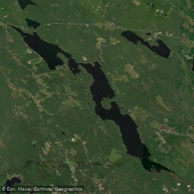
Toddy Pond
- Boat Ramps
- 1
- Access Points
- 1
- Campsites
- 1
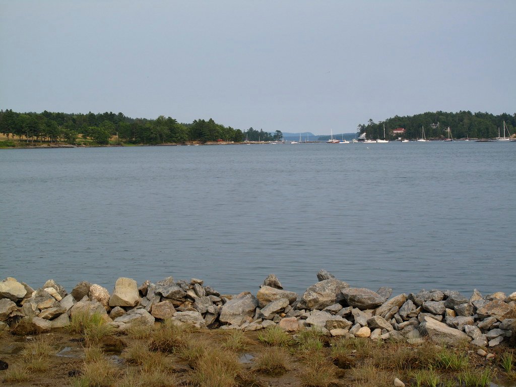
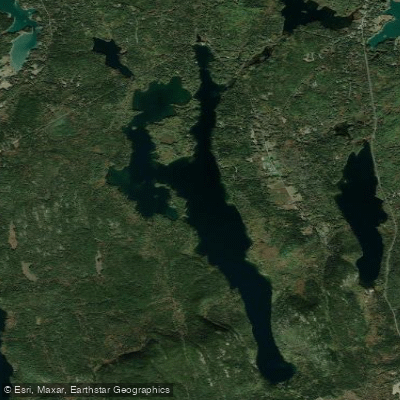
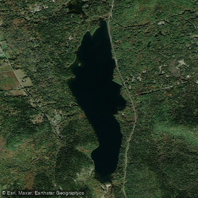
Toddy Pond is a large, elongated freshwater lake spanning approximately 1,987 acres across Orland, Surry, Penobscot, and Blue Hill townships in Hancock County, Maine. The pond stretches nearly eight miles in length, offering over 30 miles of scenic shoreline for paddlers to explore, with a maximum depth of 122 feet.
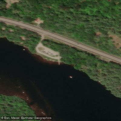
**Access:** The primary public boat launch is located off Route 1 in Orland on the south side of the highway. This state-owned facility features a hard-surfaced ramp with parking and is suitable for kayaks, canoes, and larger watercraft. The launch provides excellent access to the pond's three distinct basins.
**Character:** Toddy Pond consists of three separate basins that each offer different paddling experiences. The shoreline is fairly developed with seasonal and year-round residences, but maintains a peaceful, rural Maine character. The clear water and varied terrain create an attractive paddling destination. Paddlers can explore numerous coves, islands, and points along the extensive shoreline, with the pond's length allowing for extended trips.
**Wildlife & Scenery:** The pond supports diverse wildlife including loons, bald eagles (with documented nesting sites), ducks, and various waterfowl. Great blue herons and other wading birds frequent the shoreline areas. The surrounding landscape features wooded hills including Great Pond Mountain, creating scenic backdrops. The pond's clear water supports populations of landlocked salmon, lake trout (togue), splake, brown trout, and bass.
**Considerations:** Toddy Pond is actively monitored for invasive aquatic species through volunteer patrols and courtesy boat inspections. The pond remains free of invasive plants as of recent surveys. A Lake and River Protection Sticker is required for motorized watercraft. Wind can pick up on the open water sections, particularly in the pond's central areas. The pond's proximity to Acadia National Park (approximately 40 minutes away) makes it a convenient paddling destination for visitors to the region.
Water access, boat ramps & amenities
Learn how to get on Toddy Pond. Uncover great paddling access points, boat ramps, and all the facilities you need for an unforgettable day on the water. Some locations shown may border or include private property. Always check property boundaries and applicable regulations before visiting. PaddleWays's Public & Private Land layer can help you plan your access with confidence.
Paddle smarter with real-time insights
Whether you're en route and conditions shift or you're looking for the best spot based on current flows, we enable you to make informed decisions on the fly.








Find Places to Paddle

Over 400,000 Places to Paddle
Every user gets free access to launch points, boat ramps, and public property parcels.


Water and weather conditions (10 day forecast)
See the best times to paddle Toddy Pond and check the forecast before you go.
No forecast data available.
Paddling near Toddy Pond

Explore Maine waters
Top paddling waters
Popular Cities
Loading popular cities...
Explore near Toddy Pond
Access points
Nearby waters
More in Maine

Smarter Paddling Starts in the App.
Paddleways gives you everything you need to plan smarter, paddle better, and own every trip from first launch to takeout.