Somes Sound
- Saltwater
- Sound
Somes Sound
- Saltwater
- Sound
- Sq. miles
- 5.7
- Boat Ramps
- 1
- Access Points
- 0
- Campsites
- 3
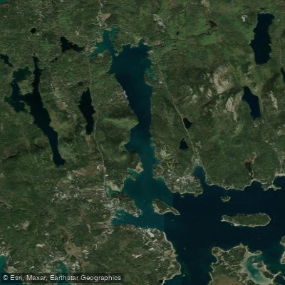
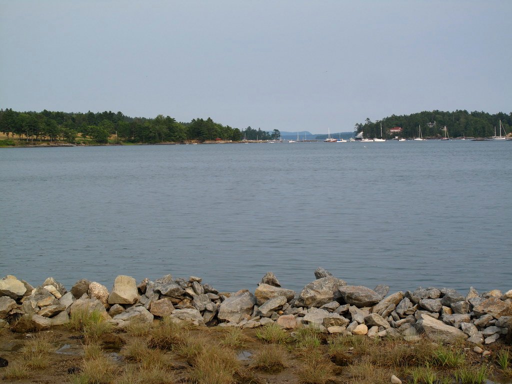
Somes Sound is a four-mile-long, half-mile to mile-wide saltwater sound on Mount Desert Island, Maine, considered the only fjord on the eastern U.S. coast. It is a deep, U-shaped glacial valley flanked by mountains rising up to 850 feet, creating dramatic scenery. The sound's mouth features a shallow, narrow section known as "The Narrows," where water is only about 10 feet deep. This constriction affects tidal flow. The tidal range is significant, approximately 12 feet, which exposes extensive mud flats at the northern end during low tide, making timing critical for launching and landing. Paddlers must carefully consult tide tables, as an outgoing tide combined with opposing wind can create steep, challenging waves, while wind funneling down the sound can generate strong tailwinds or difficult headwinds.
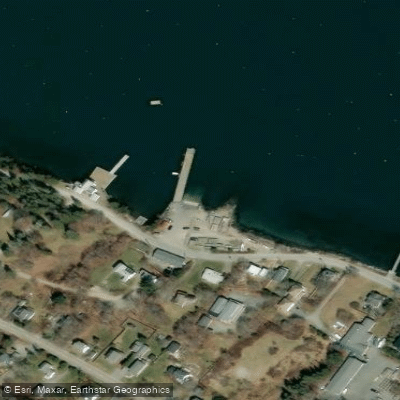
Primary public launch points include the boat launch in Southwest Harbor, which services fishing and other maritime traffic and can be busy, and the Manset Town Landing. Other potential access points are Hall Quarry, where permission from the local boatyard may be needed, and a launch on Sargent Drive on the eastern side. The head of the sound at Somes Harbor features a campground with water access at most tides. A recommended strategy is to plan a one-way trip riding the flood tide into the sound and returning with the ebb, as paddling both directions against wind and tide can be arduous. The western shore features cliffs below Flying Mountain and Valley Cove, with waterfalls. Sargent Cove on the eastern shore provides a sheltered break spot. Boat traffic includes tour boats, recreational vessels, and occasional sailboat races around Greening Island near the mouth. Landing spots are limited along the steep shores. The area is known for wildlife such as seals, porpoises, loons, great blue herons, and bald eagles. Conditions can change rapidly, with fog rolling in from the ocean. For novice or low-intermediate paddlers, the sound can be a scenic but demanding destination heavily dependent on favorable wind and tide alignment; interior lakes on the island are often suggested as calmer alternatives.
Water access, boat ramps & amenities
Learn how to get on Somes Sound. Uncover great paddling access points, boat ramps, and all the facilities you need for an unforgettable day on the water. Some locations shown may border or include private property. Always check property boundaries and applicable regulations before visiting. PaddleWays's Public & Private Land layer can help you plan your access with confidence.
Paddle smarter with real-time insights
Whether you're en route and conditions shift or you're looking for the best spot based on current flows, we enable you to make informed decisions on the fly.








Find Places to Paddle

Over 400,000 Places to Paddle
Every user gets free access to launch points, boat ramps, and public property parcels.


Tides, wind & water conditions (10 day forecast)
On open water, wind and tide matter as much as the weather. See the best times to paddle Somes Sound and check the marine forecast before you launch.
Loading tide predictions…
Paddling near Somes Sound
Explore Maine waters
Top paddling waters
Popular Cities
Loading popular cities...
Explore near Somes Sound
Access points
Nearby waters
More in Maine

Smarter Paddling Starts in the App.
Paddleways gives you everything you need to plan smarter, paddle better, and own every trip from first launch to takeout.