Cape Porpoise Harbor
- Saltwater
- Harbor
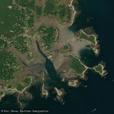
Cape Porpoise Harbor
- Saltwater
- Harbor
- Sq. miles
- 0.8
- Boat Ramps
- 1
- Access Points
- 0
- Campsites
- 1
Cape Porpoise Harbor is a classic, protected Maine harbor in Kennebunkport, consisting of a main working harbor and the quieter Stage Harbor area to the east, surrounded by an archipelago of uninhabited islands. The area is profoundly affected by Maine's significant tidal range, reported to be around nine feet, making tide timing the most critical factor for paddlers. Launching is only practical near high tide. The primary public launch is at the Causeway on Pier Road, a gravelly ramp usable for approximately two hours on either side of high tide, extending to two and a half hours if muddy conditions are acceptable. At low tide, this site is completely dry and unusable. Parking here is very limited, with only a few spaces, and it is a popular site for trailer boat launches, so paddlers must keep the main access clear. Kayak launching from the town pier itself is prohibited during the summer months. An alternative launch is at Turbats Creek on the western end of the harbor, accessible only for three hours before and after high tide due to a shallow channel; parking there is extremely limited to about four roadside spots.
The main harbor is a busy working area with many lobster boats; paddlers should actively avoid the pier and the channel between the pier and Goat Island Lighthouse due to significant boat traffic. The harbor is otherwise described as sheltered from the open ocean, creating generally ideal paddling conditions. Key destinations include Goat Island, home to a historic lighthouse accessible by boat, and the surrounding islands, which are open for exploration. Some islands permit primitive camping with a free permit obtained from the Kennebunkport Police Station. Paddlers should be aware of poison ivy on the islands. The aesthetic is one of a quintessential New England fishing village with coastal Maine scenery. The water body serves as a significant refuge for boaters, indicating it offers good protection from winds, though fetch could build in more open sections like Stage Harbor.
Water access, boat ramps & amenities
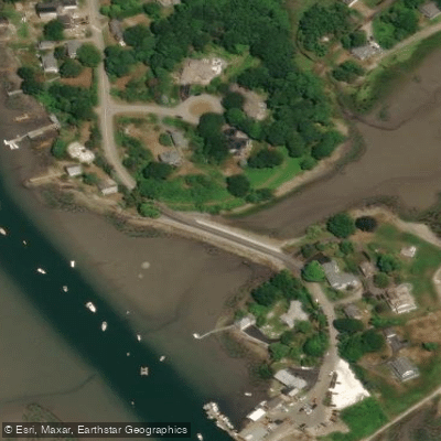
Learn how to get on Cape Porpoise Harbor. Uncover great paddling access points, boat ramps, and all the facilities you need for an unforgettable day on the water. Some locations shown may border or include private property. Always check property boundaries and applicable regulations before visiting. PaddleWays's Public & Private Land layer can help you plan your access with confidence.
Paddle smarter with real-time insights
Whether you're en route and conditions shift or you're looking for the best spot based on current flows, we enable you to make informed decisions on the fly.








Find Places to Paddle

Over 400,000 Places to Paddle
Every user gets free access to launch points, boat ramps, and public property parcels.


Tides, wind & water conditions (10 day forecast)
On open water, wind and tide matter as much as the weather. See the best times to paddle Cape Porpoise Harbor and check the marine forecast before you launch.
Loading tide predictions…
Paddling near Cape Porpoise Harbor
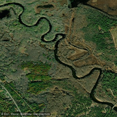
Saco River
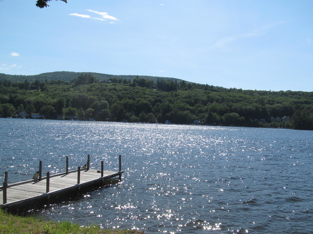
Lake Winnipesaukee
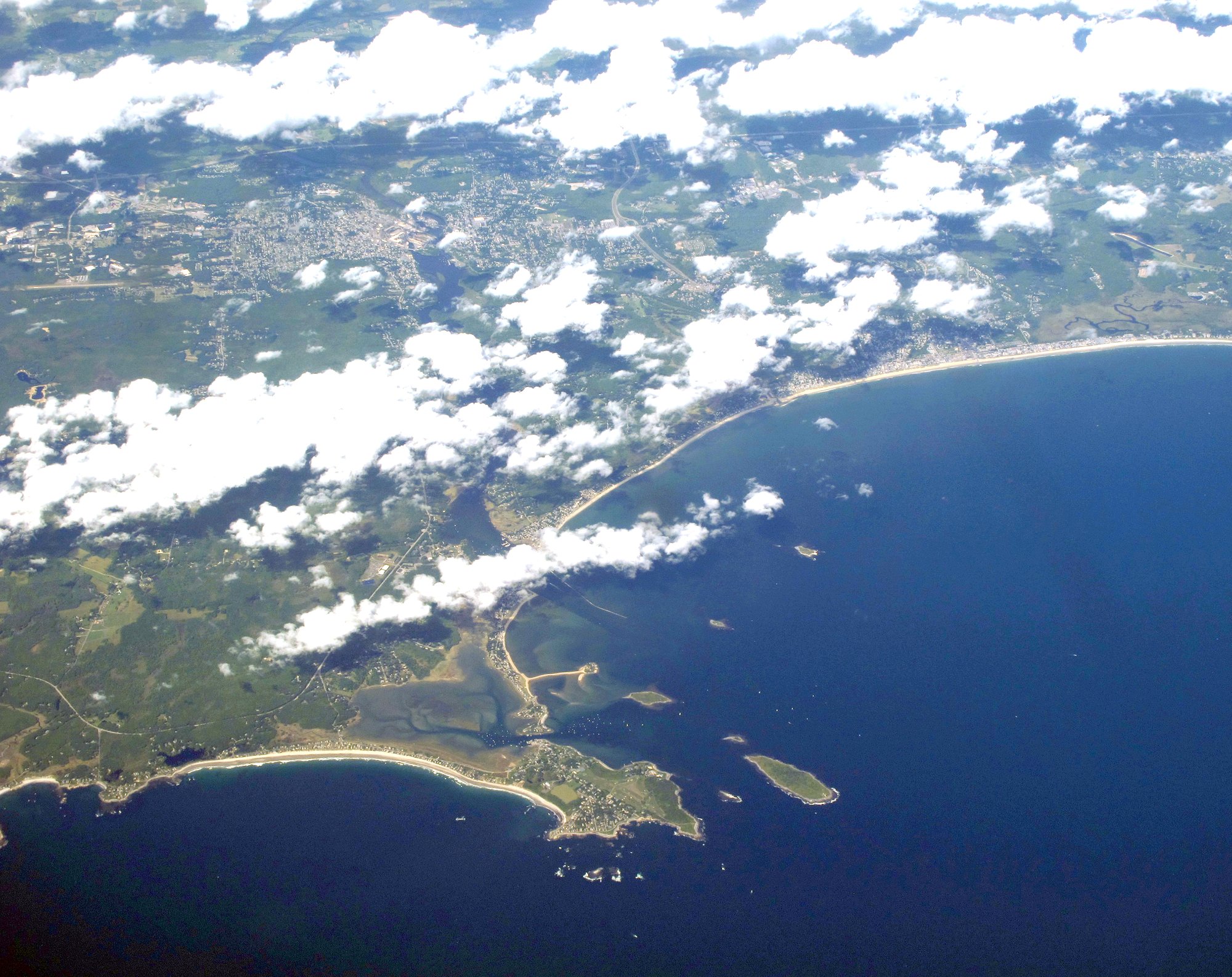
Saco Bay
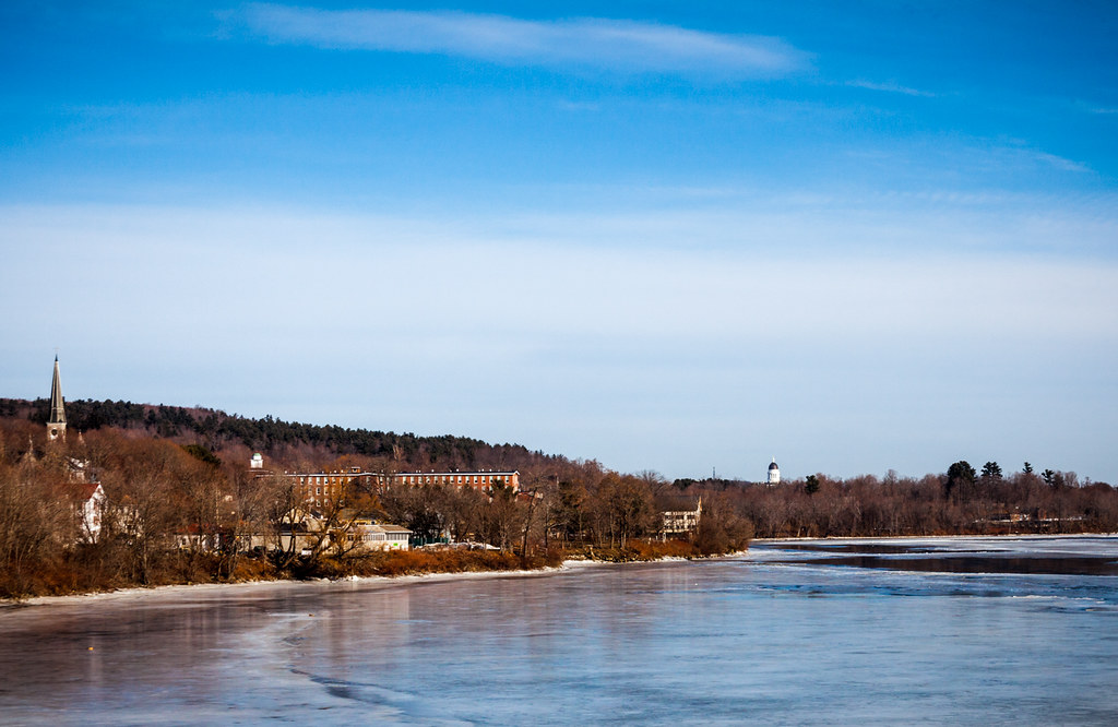
Kennebec River
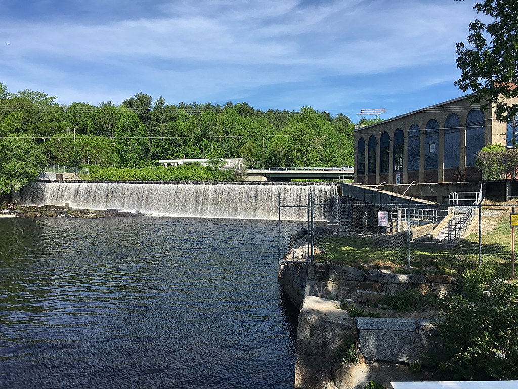
Salmon Falls River
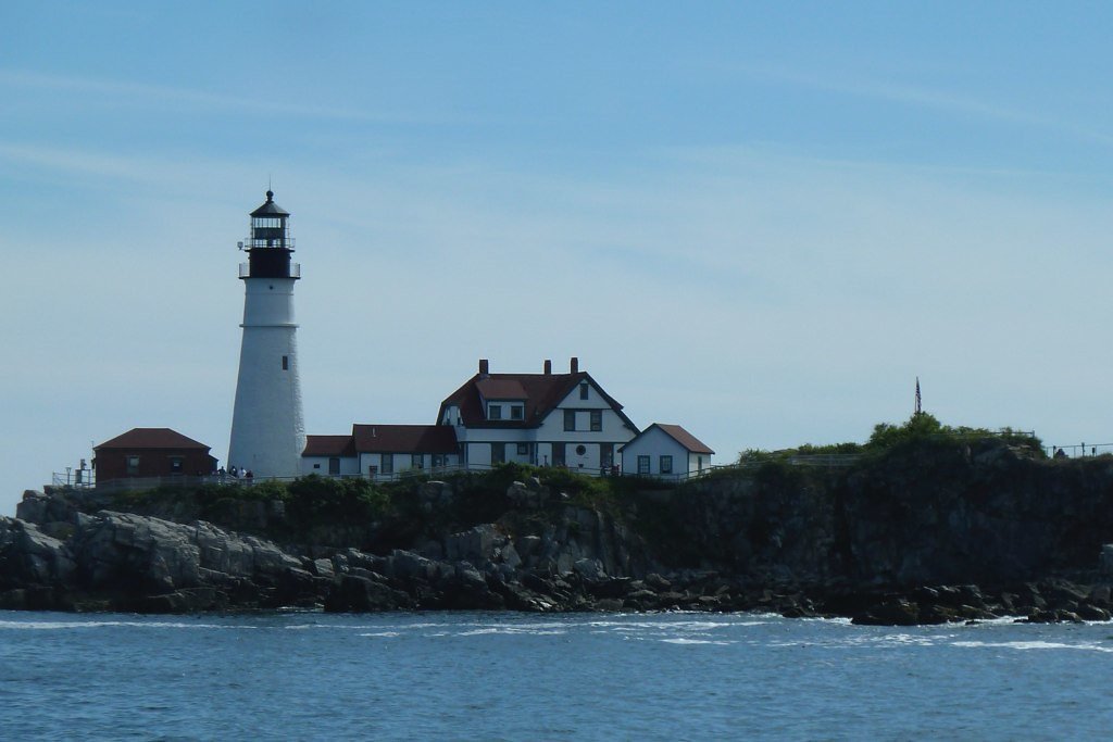
Casco Bay

Merrimack River
Androscoggin River
Lamprey River
Explore Maine waters
Top paddling waters
Popular Cities
Loading popular cities...
Explore near Cape Porpoise Harbor
Access points
Nearby waters
More in Maine

Smarter Paddling Starts in the App.
Paddleways gives you everything you need to plan smarter, paddle better, and own every trip from first launch to takeout.