Saco Bay
- Saltwater
- Bay
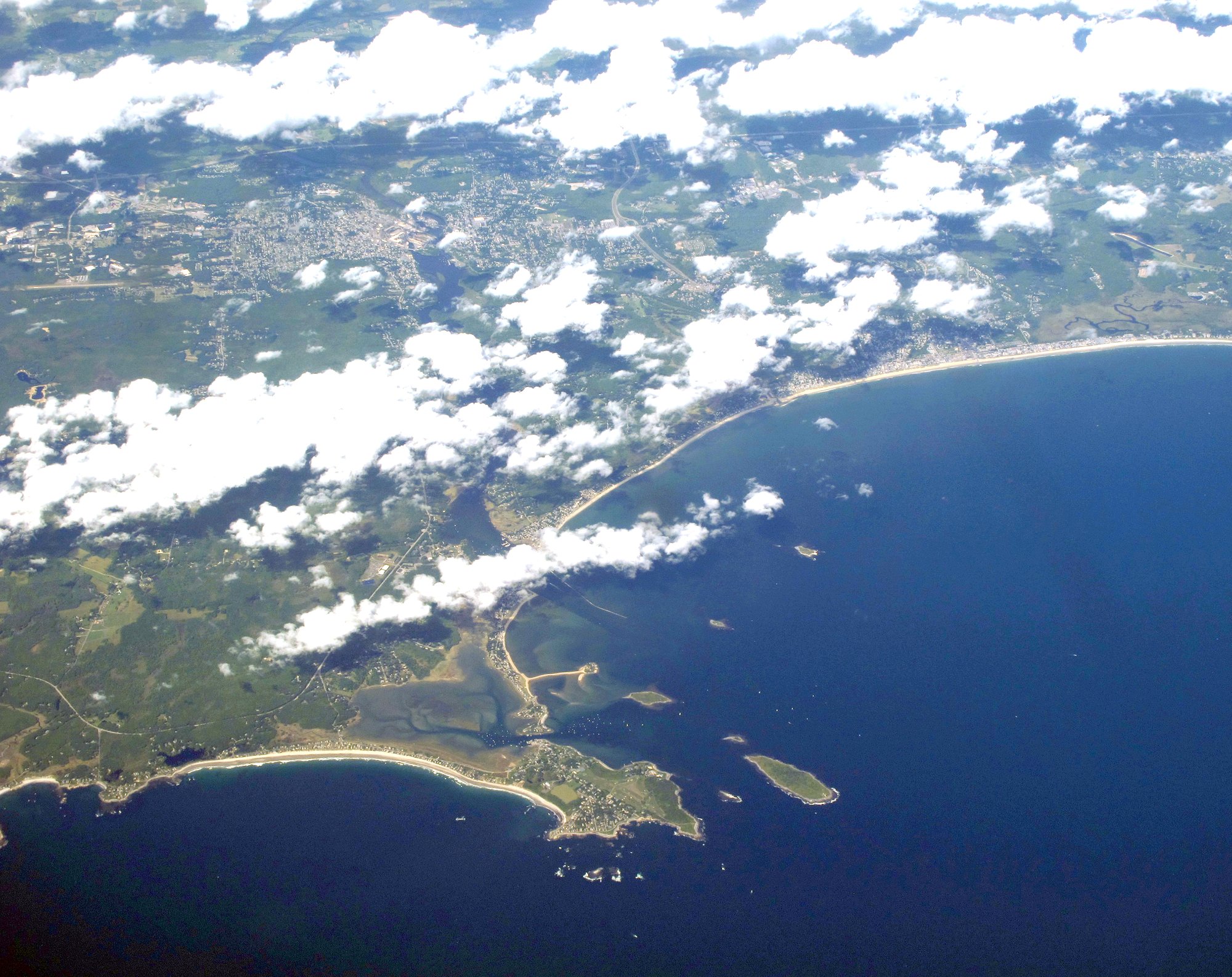
Saco Bay
- Saltwater
- Bay
- Sq. miles
- 9.2
- Boat Ramps
- 0
- Access Points
- 0
- Campsites
- 7
Saco Bay is a coastal bay on the southern Maine coast where the Saco River empties into the Atlantic Ocean. The bay is characterized by open water with several islands, including Stage Island, Negro Island, and Wood Island, which is home to the historic Wood Island Lighthouse. Paddling here is a marine experience with exposure to ocean swells, wind, and tidal currents. Primary access points for launching are on the Saco River just before it enters the bay. The Marblehead boat launch in Biddeford and Vines Landing are both convenient launch sites, with Vines Landing noted for having limited parking. Another potential take-out is the Coast Guard boat ramp on Wood Island. Paddling from these launches to Wood Island Lighthouse is a popular route, estimated at about four miles each way, challenging both strength and stamina.
Wind and wave conditions are significant factors. The bay has a long fetch, meaning winds can build substantial chop and waves, especially when blowing down the Saco River and across the open water. Seas can be unpredictable, with swells reported around two feet or higher, and fog can reduce visibility dramatically, necessitating navigational aids like a GPS. The entrance to the bay from the river is between two long breakwaters at Camp Ellis, which can concentrate boat traffic and chop. A surf zone can develop along shorelines and at landing spots, with waves noted crashing near docks on Wood Island. Tidal currents are present, with one report mentioning help from the tide on a return trip, indicating that timing your paddle with the tidal flow is an important consideration. The area has active boat traffic, including Coast Guard vessels, and paddlers must be vigilant. Marine Patrol is active in the area enforcing boating laws.
The environment features sandy beaches like Ferry and Pine Point, rocky shores, and the impressive rock jetty at Camp Ellis. Wildlife sightings include great black-backed gulls, cormorants, eider ducks, terns, and even jumping sturgeon in the river approach. The water is part of a working harbor, and the islands offer historical interest, particularly the Wood Island Lighthouse, which is accessible via a half-mile boardwalk from the landing dock. For beginners, hugging the coast within the bay is suggested for a safer experience, while more advanced paddlers can explore rock gardens along the islands, though a helmet is recommended for such activities. The best paddling conditions are typically during calm seas, and paddlers should always wear life jackets and be prepared for changing weather and water conditions.
Water access, boat ramps & amenities
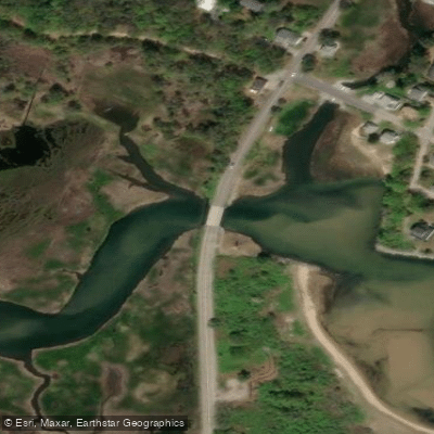
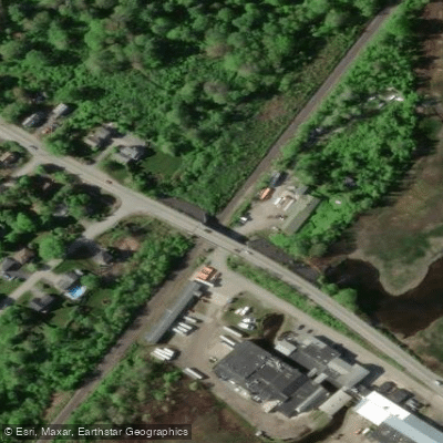
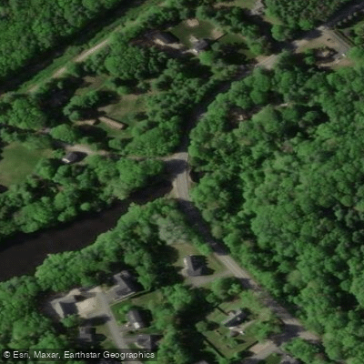
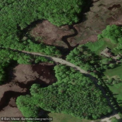
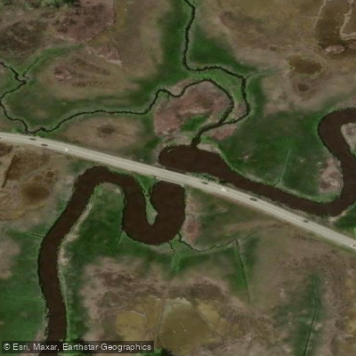
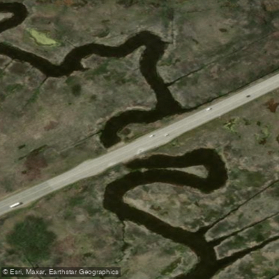
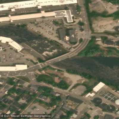
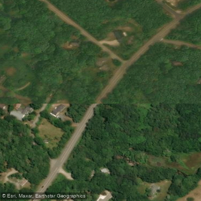
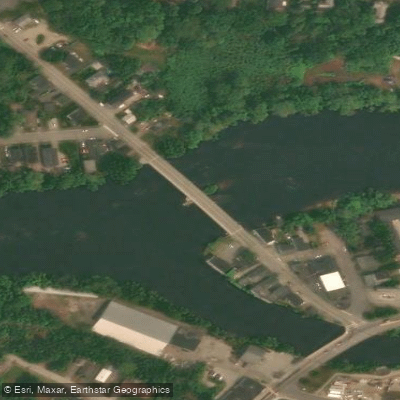
Learn how to get on Saco Bay. Uncover great paddling access points, boat ramps, and all the facilities you need for an unforgettable day on the water. Some locations shown may border or include private property. Always check property boundaries and applicable regulations before visiting. PaddleWays's Public & Private Land layer can help you plan your access with confidence.
Paddle smarter with real-time insights
Whether you're en route and conditions shift or you're looking for the best spot based on current flows, we enable you to make informed decisions on the fly.








Find Places to Paddle

Over 400,000 Places to Paddle
Every user gets free access to launch points, boat ramps, and public property parcels.


Tides, wind & water conditions (10 day forecast)
On open water, wind and tide matter as much as the weather. See the best times to paddle Saco Bay and check the marine forecast before you launch.
Loading tide predictions…
Paddling near Saco Bay
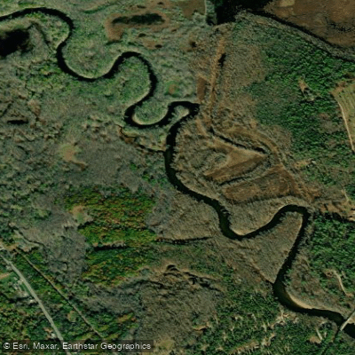
Saco River
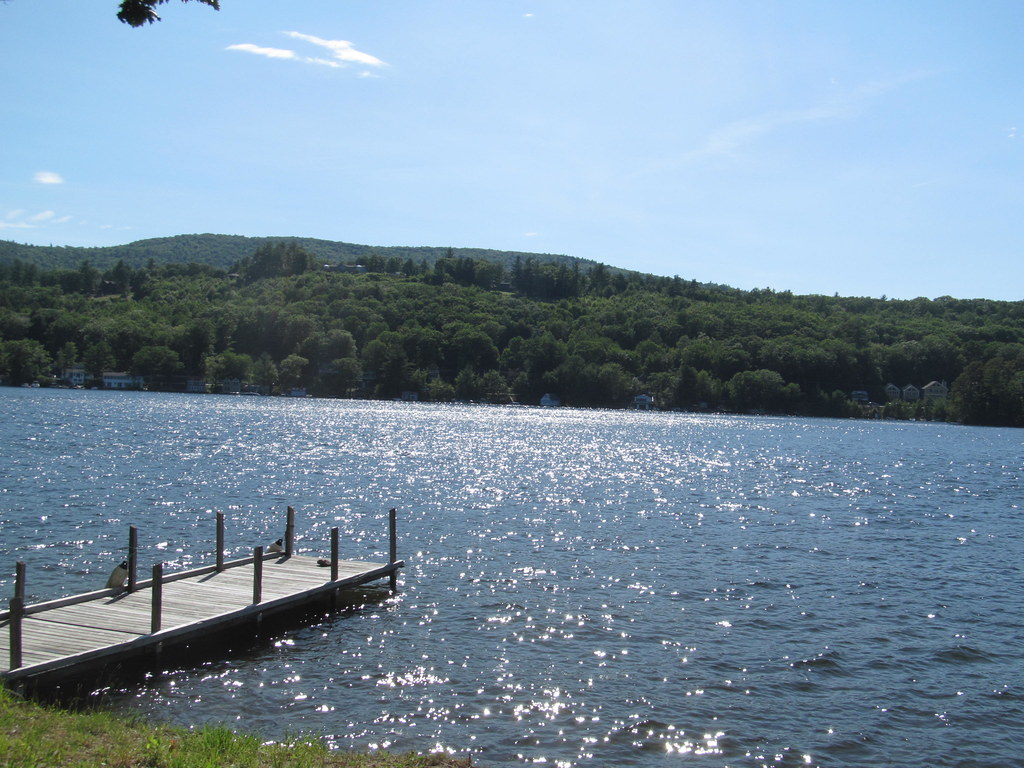
Lake Winnipesaukee
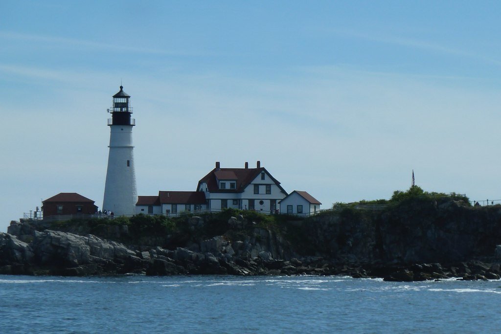
Casco Bay
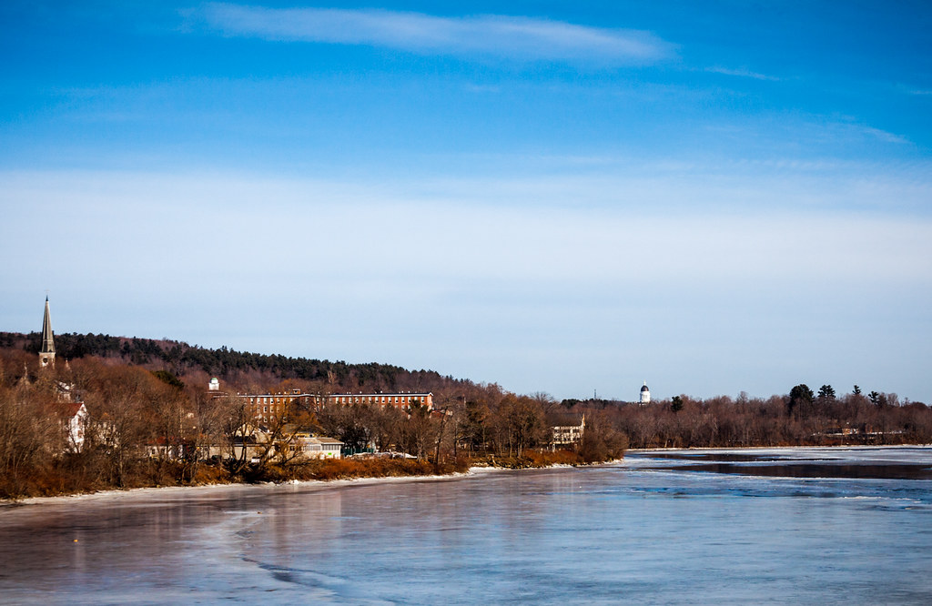
Kennebec River
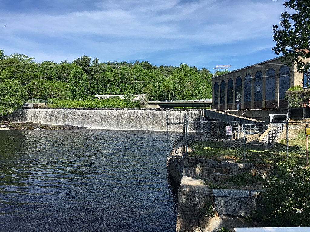
Salmon Falls River
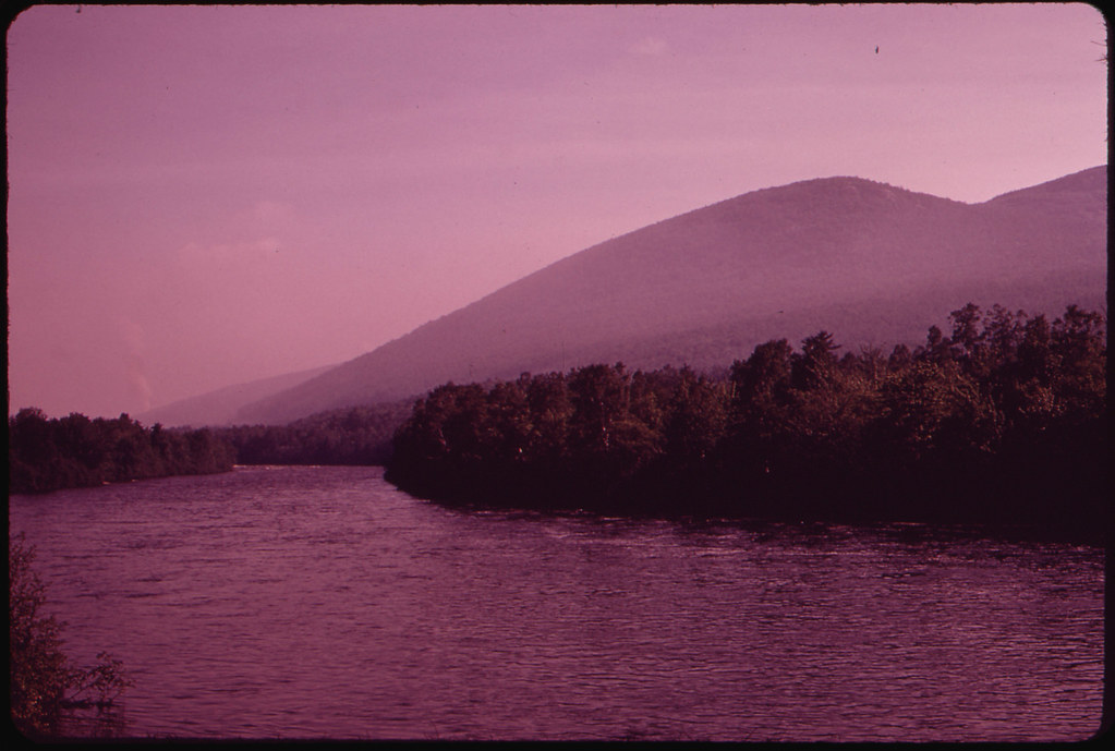
Androscoggin River
Lamprey River
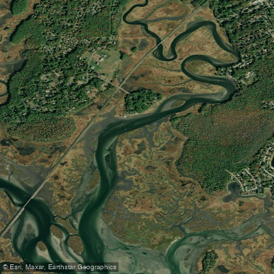
Nonesuch River
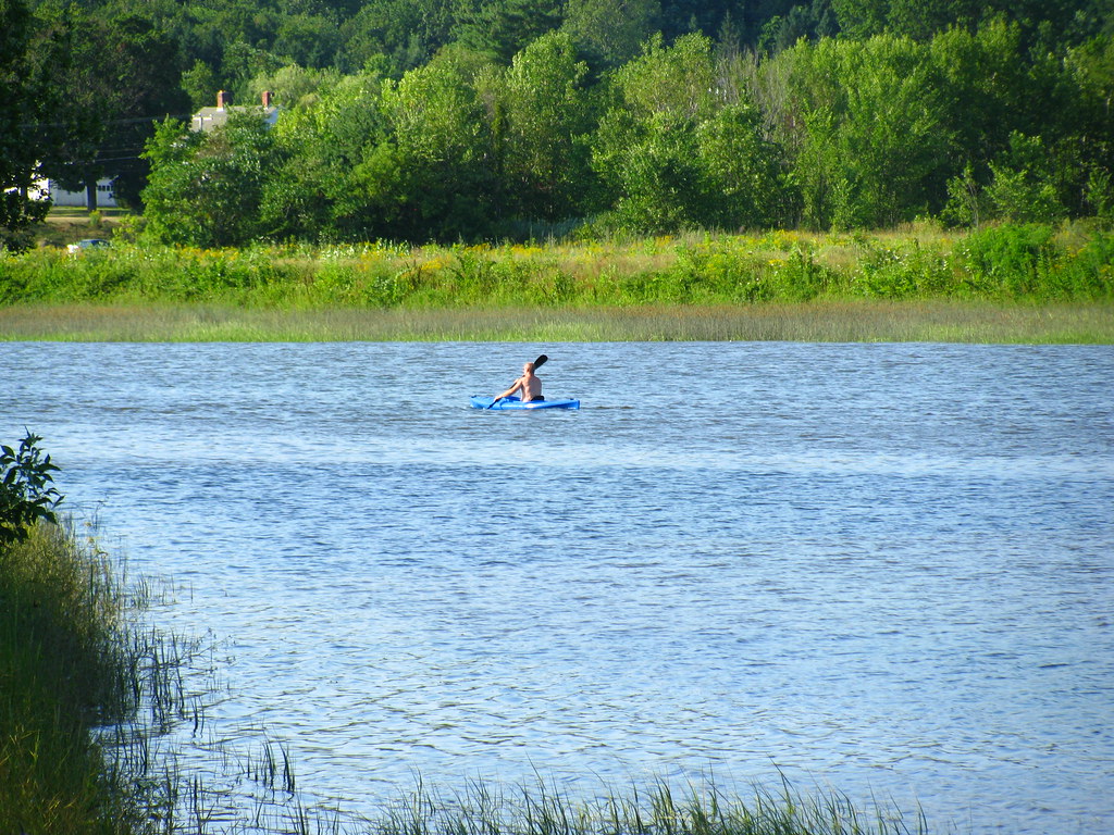
Squamscott River
Explore Maine waters
Top paddling waters
Popular Cities
Loading popular cities...
Explore near Saco Bay
Access points
Nearby waters
More in Maine

Smarter Paddling Starts in the App.
Paddleways gives you everything you need to plan smarter, paddle better, and own every trip from first launch to takeout.