Lamprey River
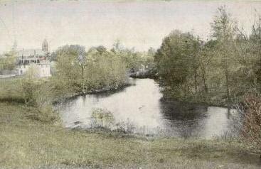
Lamprey River
- Boat Ramps
- 9
- Access Points
- 16
- Campsites
- 14
The Lamprey River is a waterway located in southeastern New Hampshire, flowing approximately 50 miles from its source in Northwood to its mouth in Great Bay. As one of the longest rivers in the Piscataqua Watershed, the Lamprey offers paddlers a wide range of experiences, from peaceful flatwater stretches to exciting whitewater rapids.
The river can be divided into several distinct sections, each with its own character. The Upper Lamprey, stretching from Epping to Lee, is popular among paddlers for its mix of flatwater and quickwater. This section, about 12.8 miles long, offers beautiful scenery and is part of the annual Lamprey River Canoe Race route.
The Mary Blair Park to Route 87 Bridge section in Epping is another favorite, known for its natural beauty and accessibility. For more experienced paddlers, the Lower Lamprey section presents a challenging Class III-IV run, with the last 6 miles approaching Wadley Falls being particularly demanding.
The North River Whitewater Section, a 2.5-mile continuous Class II run above NH 152, is considered one of the best whitewater spots in the Piscataqua Watershed. Thrill-seekers will also enjoy the short but exciting Packers Falls section, featuring a Class II(III) rapid that requires scouting.
The Lamprey River's difficulty ranges from easy flatwater suitable for beginners to challenging whitewater for experienced paddlers. This variety makes it an excellent destination for paddlers of all skill levels, though some sections require careful navigation and portaging due to obstacles like downed trees.
Spring typically offers the best water levels for paddling, especially for the whitewater sections. However, the river can be enjoyed throughout summer and fall, with the tidal section near Newmarket providing year-round paddling opportunities.
The river's ecosystem supports a diverse array of wildlife. Paddlers may spot great blue herons, cormorants, ducks, and even bald eagles. The shoreline is predominantly undeveloped, offering a natural and scenic paddling experience.
Notable landmarks along the river include the breached dam near Mary Blair Park in Epping, Wiswall Falls and Dam, and Packers Falls. The river passes through several towns, including Epping, Lee, Durham, and Newmarket, each offering access points and amenities for paddlers.
Historically, the Lamprey River played a significant role in the region's development, powering mills and supporting local industries. Today, it is recognized as a Wild and Scenic River, managed through a partnership between local communities, the state, and federal agencies to protect its outstanding natural and cultural resources.
Safety considerations include being aware of water levels, especially in the whitewater sections, and watching for downed trees and other obstacles. Paddlers should also be mindful of the tidal influence in the lower sections near Newmarket.
For those interested in multi-day trips, the river's length and variety of sections make it possible to plan extended journeys, though camping options are limited to private facilities like Ferndale Acres or Wellington Camping Park.
The Lamprey River offers a rich and rewarding paddling experience, combining natural beauty, historical significance, and a range of paddling challenges. Whether you're seeking a peaceful float or an adrenaline-pumping whitewater adventure, the Lamprey has something to offer for every paddler.
Water access, boat ramps & amenities
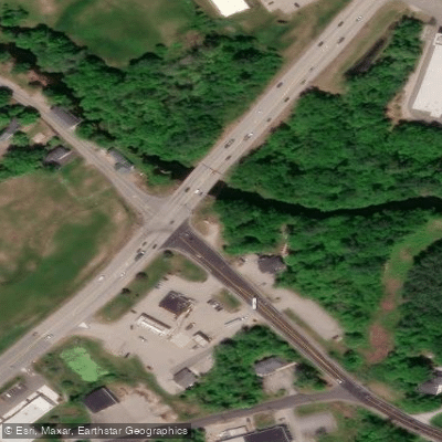
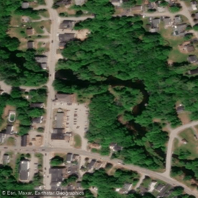
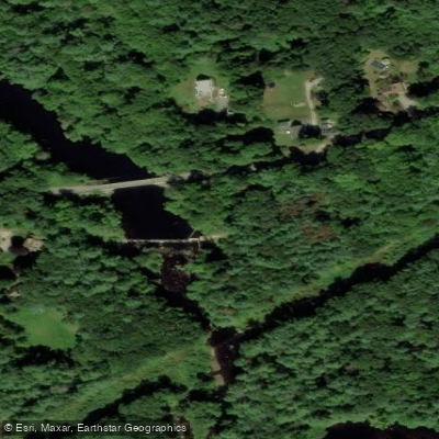
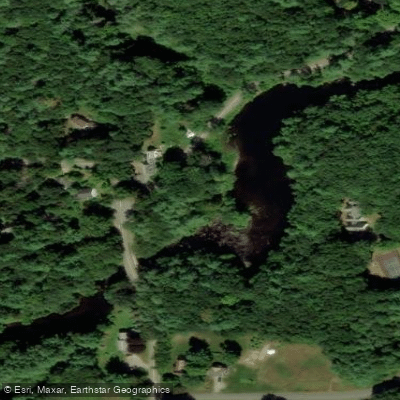
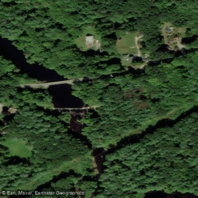
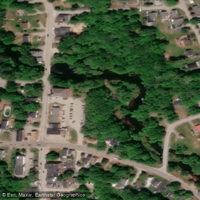
Learn how to get on Lamprey River. Uncover great paddling access points, boat ramps, and all the facilities you need for an unforgettable day on the water. Some locations shown may border or include private property. Always check property boundaries and applicable regulations before visiting. PaddleWays's Public & Private Land layer can help you plan your access with confidence.
Paddle smarter with real-time insights
Whether you're en route and conditions shift or you're looking for the best spot based on current flows, we enable you to make informed decisions on the fly.








Find Places to Paddle

Over 400,000 Places to Paddle
Every user gets free access to launch points, boat ramps, and public property parcels.


Water and weather conditions (10 day forecast)
See the best times to paddle Lamprey River and check the forecast before you go.
LAMPREY RIVER AT LANGFORD ROAD, AT RAYMOND, NH
All Flow Stations
Paddling near Lamprey River
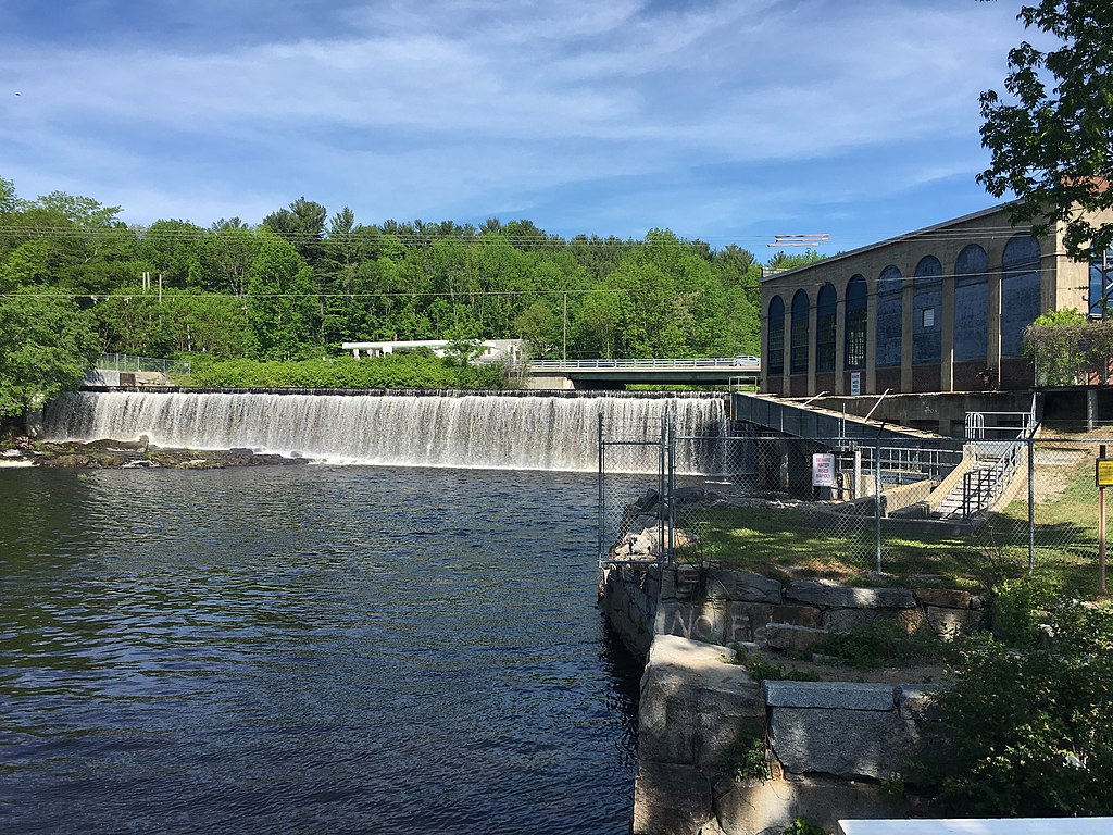
Salmon Falls River
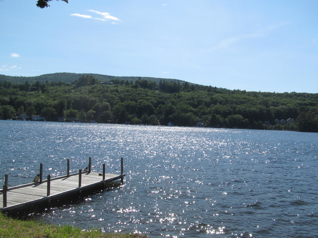
Lake Winnipesaukee
Piscataqua River

Merrimack River
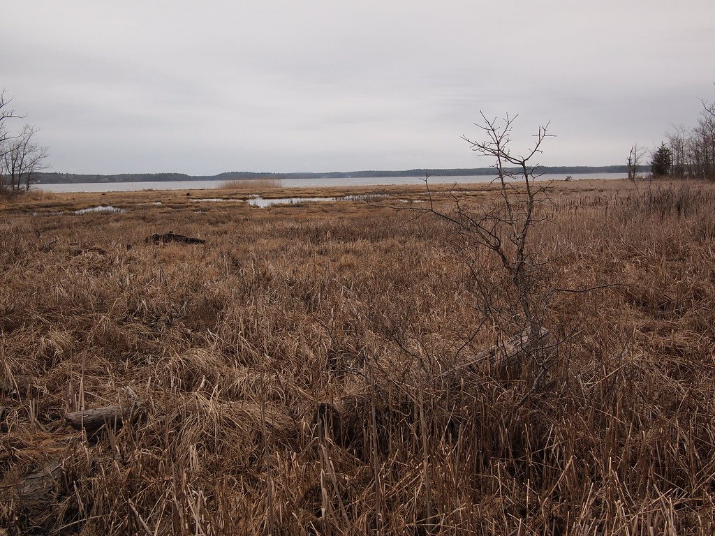
Great Bay
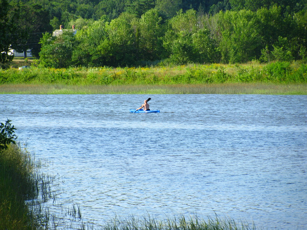
Squamscott River
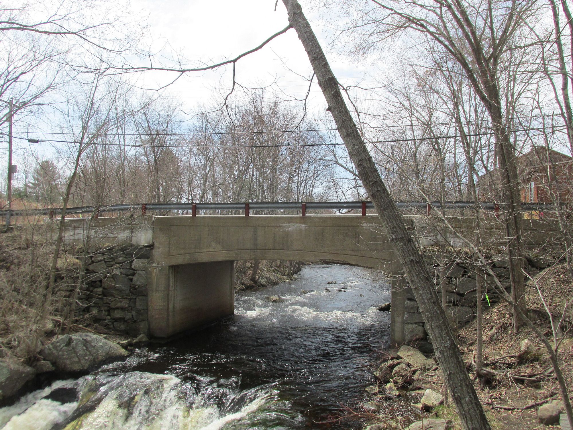
Exeter River
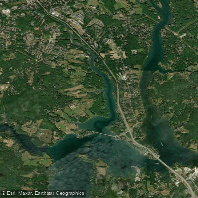
Bellamy River
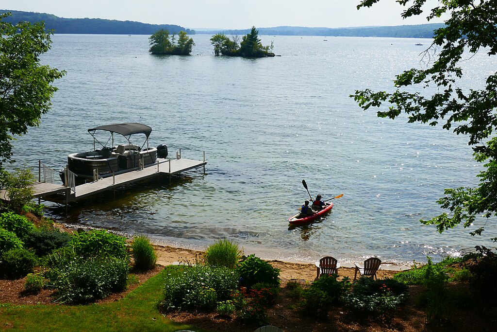
Lake Winnisquam
Explore New Hampshire waters
Top paddling waters
Popular Cities
Loading popular cities...
Explore near Lamprey River
Access points
- Tilton Conservation Area Boat Ramp
- Tilton Conservation Area Boat Ramp
- Freeses Pond Dam Boat Ramp
- Carroll Lake Beach Boat Ramp
- Lee Public Boat Ramp
- Carroll Lake Beach Boat Ramp
- Mary Folsom Blair Park Boat Ramp
- Lee Public Boat Ramp
- Mary Folsom Blair Park Boat Ramp
- Upper Lamprey Access
- Epping Town Hall Access
- Wiswall Falls Mill Site Access
- All 94 spots
Nearby waters
More in New Hampshire

Smarter Paddling Starts in the App.
Paddleways gives you everything you need to plan smarter, paddle better, and own every trip from first launch to takeout.