Lake Winnipesaukee
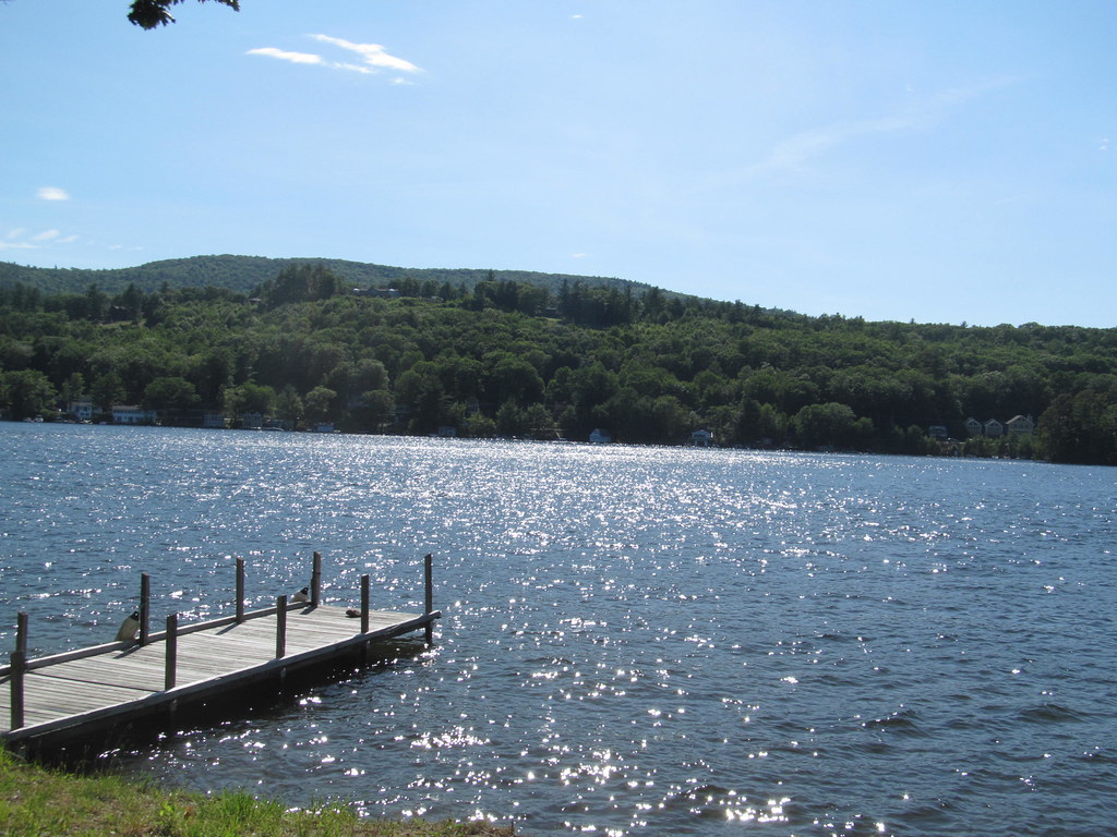
Lake Winnipesaukee
- Boat Ramps
- 28
- Access Points
- 49
- Campsites
- 24
Lake Winnipesaukee, New Hampshire's largest lake, offers paddlers a 72-square-mile expanse to explore. With over 250 islands and an irregular shoreline, the lake provides diverse paddling opportunities. Several public access points are available, including Leavitt Park Beach in Meredith and States Landing Beach in Moultonborough. Ellacoya State Park, on the lake's western shore, features a boat launch and sandy beach.
Paddlers should be aware of heavy boat traffic, especially on summer weekends and holidays. Wind can also create challenging conditions on this large body of water. It's advisable to paddle against the wind initially to ensure an easier return trip. The lake is best explored in the calmer periods before July 4th or after mid-August.
Wildlife enthusiasts may spot loons, eagles, and even the occasional moose. The surrounding Squam and Ossipee Mountain ranges create a scenic backdrop. Islands, coves, and inlets provide numerous areas to investigate. Some islands offer public access for picnicking or camping.
Facilities vary by access point. Ellacoya State Park provides restrooms, changing areas, and a park store. Many towns around the lake offer kayak and canoe rentals. Water temperatures are typically comfortable for swimming by late June.
The lake has cultural significance as a long-standing vacation destination in New England. Its clear waters and forested shores have attracted visitors for generations. Paddlers can explore historic port towns and get a sense of the lake's maritime heritage.
When planning extended trips on Lake Winnipesaukee, paddlers should be mindful of their physical limits given the lake's size. It's crucial to track distance and time to ensure a safe return. Always check weather forecasts and be prepared for changing conditions on this expansive waterway.
Water access, boat ramps & amenities
Learn how to get on Lake Winnipesaukee. Uncover great paddling access points, boat ramps, and all the facilities you need for an unforgettable day on the water. Some locations shown may border or include private property. Always check property boundaries and applicable regulations before visiting. PaddleWays's Public & Private Land layer can help you plan your access with confidence.
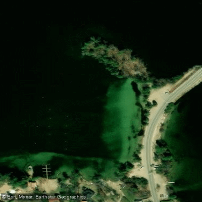
Long Island Beach Access
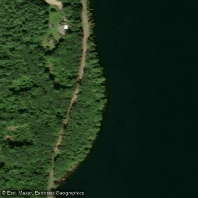
Paugus Bay State Forest Access
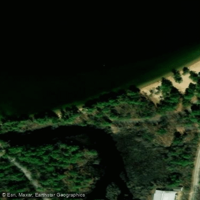
Gilford Town Beach Access
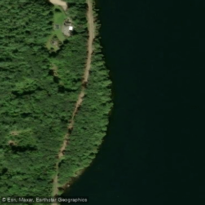
Paugus Bay State Forest Access
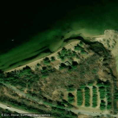
Ellacoya State Park Beach Access
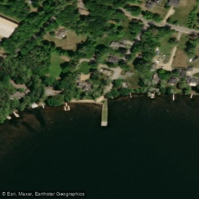
Melvin Wharf Town Beach Access
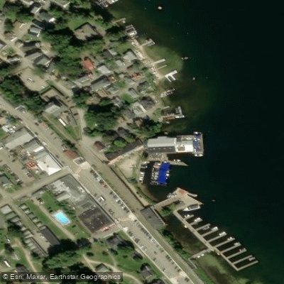
Weir Docks Access
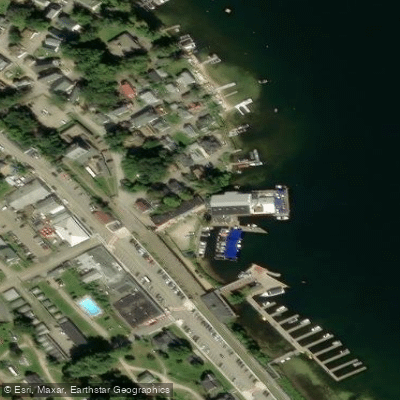
Weir Docks Access
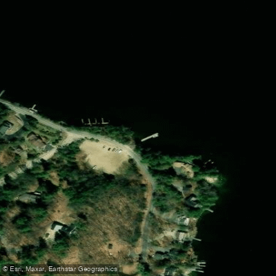
Cattle Landing Access
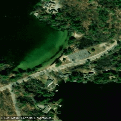
Lake Winnipesaukee Access
Paddle smarter with real-time insights
Whether you're en route and conditions shift or you're looking for the best spot based on current flows, we enable you to make informed decisions on the fly.








Find Places to Paddle

Over 400,000 Places to Paddle
Every user gets free access to launch points, boat ramps, and public property parcels.


Water and weather conditions (10 day forecast)
See the best times to paddle Lake Winnipesaukee and check the forecast before you go.
No forecast data available.
Paddling near Lake Winnipesaukee
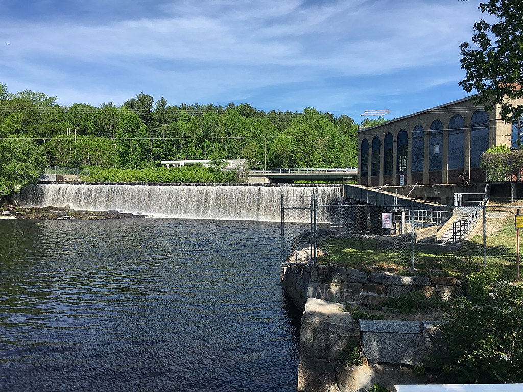
Salmon Falls River
Piscataqua River
Lake Winnisquam

Merrimack River
Great Bay
Lamprey River
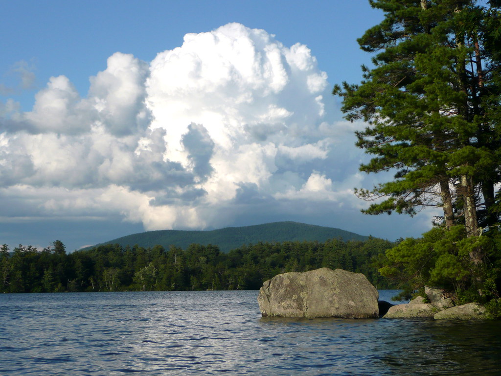
Squam Lake
Bellamy River
Saco River
Explore New Hampshire waters
Top paddling waters
Popular Cities
Loading popular cities...
Explore near Lake Winnipesaukee
Access points
- Lane Road Boat Ramp
- Lake Winnipesaukee Boat Ramp
- Lake Winnipesaukee Boat Ramp
- Lake Winnipesaukee Boat Ramp
- Union Wharf Boat Ramp
- Lake Winnipesaukee Boat Ramp
- Union Wharf Boat Ramp
- Echo Point Boat Ramp
- Glendale Docks Boat Ramp
- Echo Point Boat Ramp
- Glendale Docks Boat Ramp
- Ellacoya State Park Boat Ramp
- All 111 spots
Nearby waters
More in New Hampshire

Smarter Paddling Starts in the App.
Paddleways gives you everything you need to plan smarter, paddle better, and own every trip from first launch to takeout.