Curated by PaddleWays
RouteClass III–IV
- Distance
- 2.4 mi
- Paddle time
- ~0.5 hrs
- Best for
- Intermediate paddlers, experienced paddlers
- Put-in → take-out
- Route 11 Bridge Access → Route 302 Bridge Access
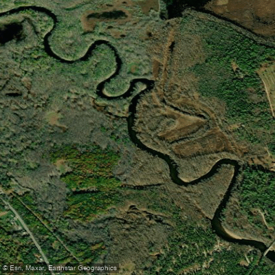
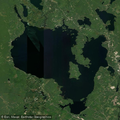
The Crooked River originates at Songo Pond near the town of Albany in Oxford County, Maine, flowing approximately 60 miles southeastward through a series of communities before emptying into Sebago Lake in Cumberland County. This major tributary contributes nearly 40% of Sebago Lake's surface water input, making it ecologically significant as part of the watershed providing drinking water to roughly one-fifth of Maine's population. The river's course takes it through the Oxford County towns of Stoneham, Waterford, and Norway, then continues through Otisfield before entering Cumberland County, where it passes through Harrison, Casco, and Naples.
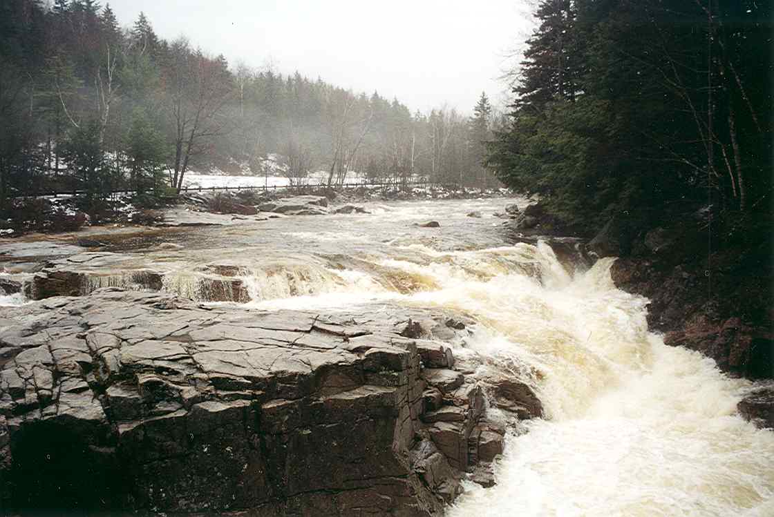
The waterway features numerous distinct sections ranging from gentle Class I-II flatwater suitable for beginners to more challenging Class II-III whitewater requiring intermediate paddling skills. Notable rapids occur between North Waterford and East Waterford, while the lower sections near Edes Falls and approaching Sebago Lake offer more moderate conditions with manageable whitewater features.
Paddlers can access the river at multiple established points, including Route 118 Bridge in North Waterford, Twin Bridges at Route 117, Bolsters Mills, and various locations near Edes Falls. The section from Scribner's Mills to Route 302 is particularly popular, offering approximately 15 miles of varied paddling. Near Songo Locks in Casco, the river transitions to flatwater conditions ideal for family outings and novice paddlers.
Spring runoff from late April through early June provides optimal water levels for whitewater sections, though paddlers should expect trees and logjams, particularly in upper reaches. Summer and early fall offer reliable flows for lower sections, with the river maintaining adequate depth due to spring-fed tributaries and wetland contributions.
The Crooked River corridor supports native brook trout populations and serves as critical spawning habitat for landlocked salmon from Sebago Lake. The forested riparian zone provides natural filtration, maintaining water quality that allows Sebago Lake to remain one of approximately 50 unfiltered public water supplies in the United States. Wildlife includes wading birds, waterfowl, and the state-threatened Brook Floater freshwater mussel in lower sections.
Historical significance includes the river's role in the 19th-century Cumberland and Oxford Canal system, which transported lumber and goods between Sebago Lake and Casco Bay. The waterway's Abenaki name reflects its importance to indigenous peoples.
Safety considerations include wearing personal flotation devices, scouting rapids during high water, and being prepared for portages around occasional logjams and the dam near Bolsters Mills. Paddlers should respect private property along developed shoreline sections and practice Leave No Trace principles to protect water quality in this sensitive drinking water watershed.
Curated routes
Hand-picked by the PaddleWays team, with put-ins, take-outs, paddle times and the hazards along the way.
RouteClass III–IV
RouteClass II–III
RouteClass I–II
RouteClass II–III
RouteClass II–III
RouteClass II–III
Hazards
No paddler has reported a hazard here yet, so these are the dams, falls and big rapids on our map. Hazards change with flows and storms, so check them before you launch.
From the community
Nobody has shared a trip on Crooked River yet. Paddle it, then tell the next paddler how it went.
See exactly where the public can get on and off the river. Launch points and boat ramps are paired with PaddleWays' public land data so you know where you can legally land.
Public shoreline
1%of the river's shoreline is public
Most of the riverbank is private. Launch, land and camp only at public access points.
Flows, weather and a route-by-route verdict, so you know which stretch of the Crooked River is worth paddling today.
No forecast data available.
Live flows, marked hazards and fresh trip reports from paddlers who were just on the water, all in one place.





Every user gets free access to launch points, boat ramps, and public property parcels.

Loading popular cities...
PaddleWays gives you everything you need to plan smarter, paddle better, and own every trip from first launch to takeout.