Curated by PaddleWays
RouteClass I–III
- Distance
- 9.2 mi
- Paddle time
- ~2.5 hrs
- Best for
- Intermediate paddlers
- Put-in → take-out
- Grindstone Falls Access → Penobscot River Boat Ramp
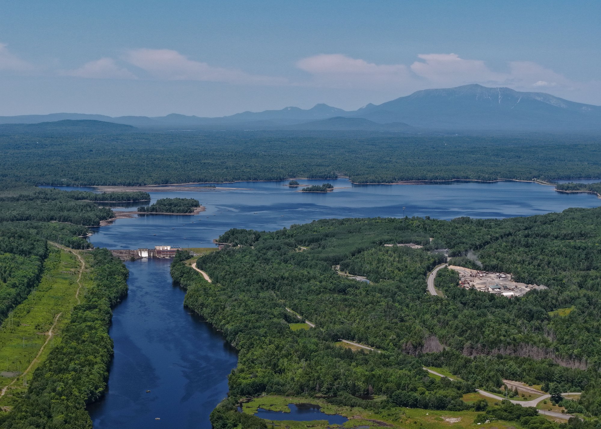
The East Branch Penobscot River is a scenic and challenging waterway that flows through the heart of Maine's North Woods. Originating at East Branch Pond, it flows south for approximately 75 miles before joining the West Branch to form the main stem of the Penobscot River. The river drains a watershed of about 1,000 square miles, including tributaries like Webster Stream and the Seboeis River. Paddlers can experience a range of conditions, from placid flatwater to technical Class IV rapids. The upper section from Matagamon to Bowlin Camps offers the most demanding whitewater, with several mandatory portages around spectacular waterfalls. The lower sections provide a mix of quick water and calmer stretches suitable for intermediate paddlers. Overall, the river requires solid whitewater skills and wilderness camping experience.
The East Branch is best paddled in late spring through early summer when water levels are optimal. Fall colors can be stunning, but water levels may be too low for enjoyable paddling. The river corridor supports a diverse ecosystem, including moose, black bears, bald eagles, and Atlantic salmon. Paddlers can enjoy views of Mount Katahdin and the Traveler Mountains in nearby Baxter State Park.
Key landmarks include the Grand Falls of the East Branch - a series of four major waterfalls requiring portages: Haskell Rock Pitch, Pond Pitch, Grand Pitch, and The Hulling Machine. The river flows through the heart of Katahdin Woods and Waters National Monument, offering pristine wilderness scenery. Primary access points include Matagamon Wilderness Campground, Bowlin Camps, Lunksoos Camps, and Whetstone Bridge. The nearest towns for supplies are Patten and Millinocket.
Multi-day trips are popular, with options ranging from 2-7 days depending on the section and pace. The East Branch holds cultural significance for the Penobscot Nation and was traveled by Henry David Thoreau in the 1800s. Today, it offers a premier backcountry paddling experience in the Northeast.
Paddlers should be prepared for remote conditions, bring appropriate safety gear, and check water levels before their trip. Respect for private landowners along the river is crucial for continued access to this remarkable waterway.
Curated routes
Hand-picked by the PaddleWays team, with put-ins, take-outs, paddle times and the hazards along the way.
RouteClass I–III
RouteClass II–III
RouteClass III–V
RouteClass II–III
Hazards
No paddler has reported a hazard here yet, so these are the dams, falls and big rapids on our map. Hazards change with flows and storms, so check them before you launch.
From the community
Nobody has shared a trip on East Branch Penobscot River yet. Paddle it, then tell the next paddler how it went.
See exactly where the public can get on and off the river. Launch points and boat ramps are paired with PaddleWays' public land data so you know where you can legally land.
Public shoreline
19%of the river's shoreline is public
Most of the riverbank is private. Launch, land and camp only at public access points.
Flows, weather and a route-by-route verdict, so you know which stretch of the East Branch Penobscot River is worth paddling today.
All Flow Stations
Live flows, marked hazards and fresh trip reports from paddlers who were just on the water, all in one place.





Every user gets free access to launch points, boat ramps, and public property parcels.
Loading popular cities...
PaddleWays gives you everything you need to plan smarter, paddle better, and own every trip from first launch to takeout.