Curated by PaddleWays
RouteClass I–II
- Distance
- 4.5 mi
- Paddle time
- ~1.5 hrs
- Best for
- Beginners, intermediate paddlers
- Put-in → take-out
- Lower Ebeemee Access → Brownsville Access
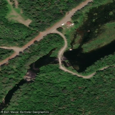
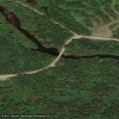
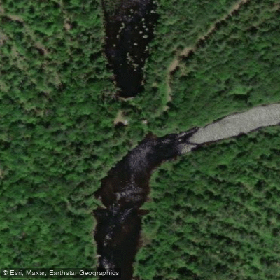
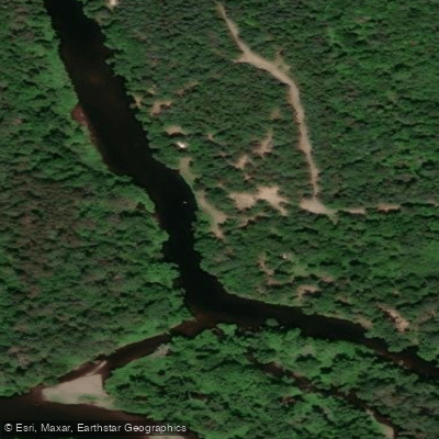
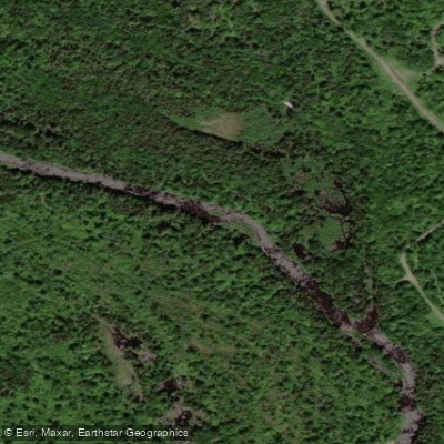
The East Branch Pleasant River flows through Piscataquis County in central Maine, serving as one of two primary tributaries that form the Pleasant River. This waterway merges with the West Branch Pleasant River near Brownville to create the main stem of the Pleasant River, which subsequently joins the Piscataquis River at Medford after traveling approximately 15 miles southeast.
The East Branch originates in the forested uplands of Piscataquis County, descending through terrain characteristic of Maine's interior woodlands. The river's watershed encompasses remote forestland typical of this region, where elevations gradually decrease from the headwaters toward the confluence point near Brownville at approximately 350 feet above sea level. The drainage follows natural topographic contours, creating a waterway that reflects the glacially-influenced landscape of central Maine.
As a tributary within the Piscataquis River system, the East Branch Pleasant River contributes to a larger network that ultimately feeds the Penobscot River. This hydrological connection places the stream within one of Maine's most significant river basins.
The surrounding Piscataquis County landscape features extensive forests of mixed hardwoods and conifers, providing habitat for wildlife common to Maine's interior regions, including white-tailed deer, moose, black bear, and various waterfowl species. Brook trout naturally inhabit these cold-water streams.
The river's location in Piscataquis County positions it within a sparsely populated area where forestry has historically dominated land use. Brownville, the nearest community to the confluence, serves as the primary reference point for locating this waterway. The town developed during Maine's logging era when rivers like the Pleasant River system provided essential transportation routes for timber.
Access to the East Branch Pleasant River remains limited due to the remote nature of much of Piscataquis County. The region's network of logging roads may provide approach routes, though conditions vary seasonally and with active forestry operations. Spring runoff typically brings higher water levels, while summer and fall see reduced flows common to smaller Maine tributaries. Those exploring this waterway should prepare for backcountry conditions typical of central Maine's interior, where services are distant and self-sufficiency is essential. The river exists within a working forest landscape where land ownership patterns and access permissions require advance research and respect for private property boundaries.
Curated routes
Hand-picked by the PaddleWays team, with put-ins, take-outs, paddle times and the hazards along the way.
RouteClass I–II
RouteClass III–V
Hazards
No paddler has reported a hazard here yet, so these are the dams, falls and big rapids on our map. Hazards change with flows and storms, so check them before you launch.
From the community
Nobody has shared a trip on East Branch Pleasant River yet. Paddle it, then tell the next paddler how it went.
See exactly where the public can get on and off the river. Launch points and boat ramps are paired with PaddleWays' public land data so you know where you can legally land.
Public shoreline
2%of the river's shoreline is public
Most of the riverbank is private. Launch, land and camp only at public access points.
Flows, weather and a route-by-route verdict, so you know which stretch of the East Branch Pleasant River is worth paddling today.
No forecast data available.
Live flows, marked hazards and fresh trip reports from paddlers who were just on the water, all in one place.





Every user gets free access to launch points, boat ramps, and public property parcels.










Loading popular cities...
PaddleWays gives you everything you need to plan smarter, paddle better, and own every trip from first launch to takeout.