Curated by PaddleWays
RouteClass I–III
- Distance
- 18.8 mi
- Paddle time
- Multi-day
- Put-in → take-out
- Eagle Lake Boat Ramp → St John River Boat Ramp
Class IV Fish River Falls with portage
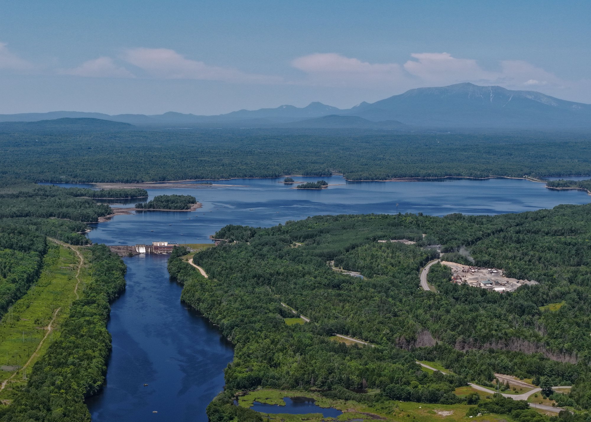
The Fish River originates in northern Maine's Aroostook County, flowing northward for approximately 70 miles before joining the Saint John River in Fort Kent. This pristine waterway drains a watershed of about 890 square miles, fed by numerous lakes and ponds including Eagle Lake, St. Froid Lake, and Portage Lake. Paddlers can enjoy a variety of experiences on the Fish River, from placid flatwater sections to challenging whitewater. The most popular trip runs 17 miles from Eagle Lake to Fort Kent, offering a mix of easy paddling and Class I-III rapids. This journey typically takes 1-2 days, with a potential camping spot just below Fish River Falls.
The river's difficulty ranges from beginner-friendly flatwater to expert-level Class IV rapids at Fish River Falls. Novice paddlers can enjoy the gentle 3.5-mile stretch from ME-11 to Eagle Lake, while experienced whitewater enthusiasts can tackle the falls and surrounding Class III-IV rapids.
Late spring through early fall provides the best paddling conditions, with May and June offering optimal water levels. Summer brings warmer temperatures and opportunities for swimming, while fall rewards paddlers with stunning foliage.
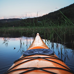
The Fish River corridor supports diverse wildlife, including moose, bald eagles, and brook trout. Paddlers may spot great blue herons wading in the shallows or beavers constructing dams along quieter sections.
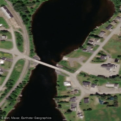
Key landmarks include Fish River Falls, a dramatic 4-mile section featuring a Class IV rapid, and the historic Fort Kent Blockhouse at the river's confluence with the Saint John. The river passes through small northern Maine communities like Eagle Lake, Soldier Pond, and Fort Kent, each offering access points and local amenities.
Primary put-in locations include the Eagle Lake public boat landing, ME-11 bridge near Eagle Lake, and Soldier Pond. Take-out options are available in Fort Kent, with the Blockhouse serving as a popular endpoint.
The Fish River holds cultural significance for the Acadian and Native American communities of northern Maine. It played a role in the region's logging history and continues to be an important recreational resource.
Paddlers should be aware of changing water levels, especially around Fish River Falls. Portage trails are available for those wishing to bypass more challenging rapids. All boaters should wear appropriate safety gear and check current conditions before embarking.
For those seeking a multi-day adventure, the full 17-mile journey from Eagle Lake to Fort Kent offers an immersive experience in Maine's North Woods, with ample camping opportunities along the way.
Curated routes
Hand-picked by the PaddleWays team, with put-ins, take-outs, paddle times and the hazards along the way.
RouteClass I–III
Hazards
No paddler has reported a hazard here yet, so these are the dams, falls and big rapids on our map. Hazards change with flows and storms, so check them before you launch.
From the community
Nobody has shared a trip on Fish River yet. Paddle it, then tell the next paddler how it went.
See exactly where the public can get on and off the river. Launch points and boat ramps are paired with PaddleWays' public land data so you know where you can legally land.
Public shoreline
0%of the river's shoreline is public
Most of the riverbank is private. Launch, land and camp only at public access points.
Flows, weather and a route-by-route verdict, so you know which stretch of the Fish River is worth paddling today.
All Flow Stations
Live flows, marked hazards and fresh trip reports from paddlers who were just on the water, all in one place.





Every user gets free access to launch points, boat ramps, and public property parcels.
Loading popular cities...
PaddleWays gives you everything you need to plan smarter, paddle better, and own every trip from first launch to takeout.