Curated by PaddleWays
RouteClass IV–V
- Distance
- 8 mi
- Paddle time
- ~2 hrs
- Best for
- Kayak, raft
- Put-in → take-out
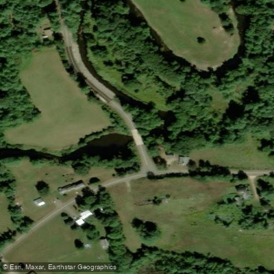
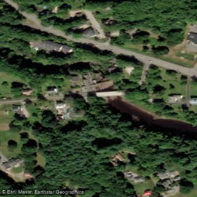
- Emerys Bridge Launch → Brattle Street Bridge Hand Launch
Class IV-V rapids on the run
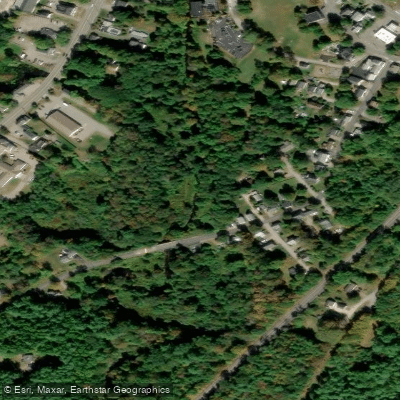
The Great Works River is a small but significant waterway in southern Maine, originating near North Berwick and flowing southeasterly for approximately 15 miles before joining the Salmon Falls River near South Berwick. This river system drains a watershed of about 86 square miles, primarily in York County.
Paddlers on the Great Works River can experience a range of conditions, from placid flatwater stretches to intense whitewater rapids. The upper section from North Berwick to South Berwick offers a 14.5-mile journey through Class I waters and flatwater, winding through heavily wooded rural terrain. This peaceful stretch is ideal for novice paddlers and those interested in wildlife viewing.
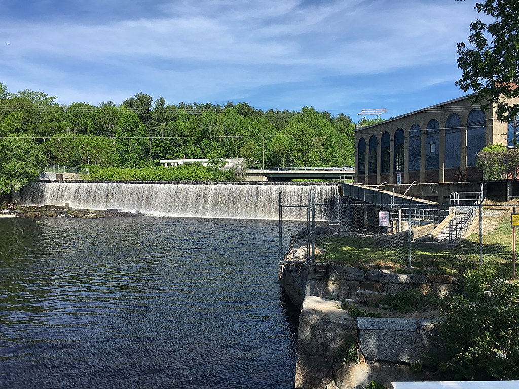
In stark contrast, the lower section near South Berwick presents a challenging 1-mile whitewater run with Class IV-V rapids. This intense stretch, from Brattle Street to Leighs Mill Pond, demands expert skills and should only be attempted by experienced whitewater enthusiasts with proper safety equipment and knowledge of swift water rescue techniques.
Water levels fluctuate seasonally, with the upper reaches often becoming too shallow for paddling during summer months. Spring runoff and periods after heavy rains typically offer the best conditions for both the calm upper section and the technical lower rapids.
The river corridor supports a diverse ecosystem, home to various fish species, including brook trout and American eel. Paddlers may spot herons, kingfishers, and perhaps even the occasional river otter along the more secluded stretches.
Key access points include put-ins at North Berwick for the longer flatwater section, and at the Vine Street dam (accessed from Brattle Street) in South Berwick for the whitewater run. Take-outs are available at several locations in South Berwick, including Leighs Mill Pond.
Historically, the Great Works River played a crucial role in early American industry, powering some of the first mills in the United States. Today, remnants of this industrial heritage can be glimpsed along the riverbanks, offering paddlers a unique blend of natural beauty and historical intrigue.
Safety is paramount, especially on the lower whitewater section. All paddlers should wear appropriate personal flotation devices and helmets where required. It's essential to check current water levels and weather conditions before embarking on any trip. While multi-day excursions are not typical due to the river's length, the Great Works River offers diverse paddling experiences that can be combined with explorations of the surrounding York County landscape, making it a valuable resource for both local outdoor enthusiasts and visitors to southern Maine.
Curated routes
Hand-picked by the PaddleWays team, with put-ins, take-outs, paddle times and the hazards along the way.
RouteClass IV–V
RouteClass I
Hazards
No paddler has reported a hazard here yet, so these are the dams, falls and big rapids on our map. Hazards change with flows and storms, so check them before you launch.
From the community
Nobody has shared a trip on Great Works River yet. Paddle it, then tell the next paddler how it went.
See exactly where the public can get on and off the river. Launch points and boat ramps are paired with PaddleWays' public land data so you know where you can legally land.
Public shoreline
0%of the river's shoreline is public
Most of the riverbank is private. Launch, land and camp only at public access points.
Flows, weather and a route-by-route verdict, so you know which stretch of the Great Works River is worth paddling today.
No forecast data available.
Live flows, marked hazards and fresh trip reports from paddlers who were just on the water, all in one place.





Every user gets free access to launch points, boat ramps, and public property parcels.

Loading popular cities...
PaddleWays gives you everything you need to plan smarter, paddle better, and own every trip from first launch to takeout.