Curated by PaddleWays
RouteClass I–II
- Distance
- 6.7 mi
- Paddle time
- ~2 hrs
- Best for
- Kayak
- Put-in → take-out
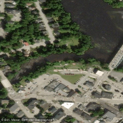
- Snow Falls Rest Area → South Paris Access
Dam just upstream of the take-out
The Little Androscoggin River is a significant waterway in western Maine, originating at Bryant Pond in Woodstock and flowing approximately 50 miles southeast to join the Androscoggin River in Auburn. This river drains a watershed of about 350 square miles, encompassing parts of Oxford and Androscoggin counties. The river offers diverse paddling opportunities, ranging from challenging whitewater to scenic flatwater sections.
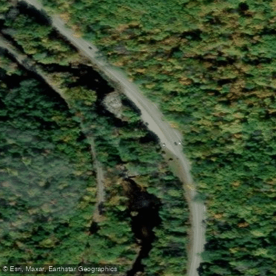
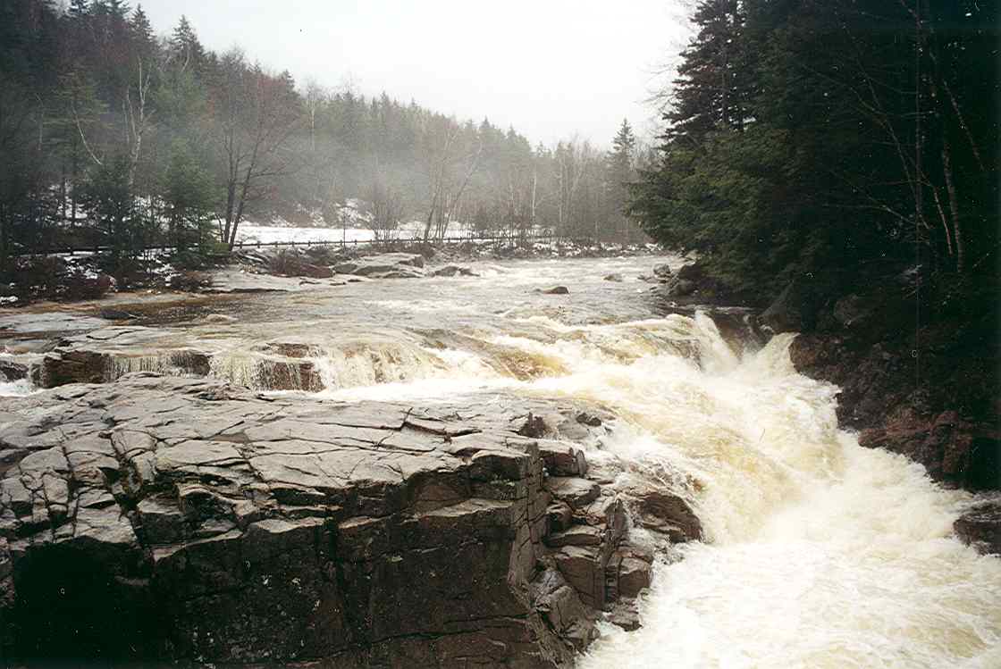
The upper reaches near Bryant Pond feature a 4-mile Class IV stretch, suitable only for expert paddlers with solid whitewater skills. This section, running from Bryant Pond to Tubbs School, demands precise maneuvering through continuous technical rapids. Downstream, the river's character changes dramatically. A popular 7-mile section from Snow Falls to South Paris provides an excellent day trip for intermediate paddlers, with mostly Class I-II rapids interspersed with calm stretches. This run begins at the scenic Snow Falls, where the river cuts through a narrow gorge, and ends near Market Square in South Paris.
The Little Androscoggin is typically paddled from spring through fall, with optimal water levels usually occurring from April to June during snowmelt. Late summer and fall can offer pleasant paddling, though water levels may be lower.
The river corridor supports a diverse ecosystem, home to various fish species including brook trout and smallmouth bass. Paddlers may spot wildlife such as beavers, otters, and a variety of waterfowl along the forested banks.
Key access points include Bryant Pond, West Paris (at Snow Falls on Route 26), and South Paris. The nearby towns of Norway and Auburn also provide convenient entry points to different sections of the river.
Historically, the Little Androscoggin played a crucial role in the region's industrial development, powering mills in towns like Mechanic Falls and Auburn. Today, it serves as an important recreational resource, with efforts ongoing to improve water quality and habitat.
Paddlers should be aware of several dams along the river's course, particularly in more developed areas. Proper scouting and portaging are essential. Additionally, the river can experience rapid water level changes, especially after heavy rains, so checking current conditions is crucial for a safe trip.
For those seeking a multi-day adventure, it's possible to combine a trip on the Little Androscoggin with paddling on the main stem of the Androscoggin River, offering an extended journey through western Maine's picturesque landscapes.
Curated routes
Hand-picked by the PaddleWays team, with put-ins, take-outs, paddle times and the hazards along the way.
RouteClass I–II
RouteClass I–IV
Hazards
No paddler has reported a hazard here yet, so these are the dams, falls and big rapids on our map. Hazards change with flows and storms, so check them before you launch.
From the community
Nobody has shared a trip on Little Androscoggin River yet. Paddle it, then tell the next paddler how it went.
See exactly where the public can get on and off the river. Launch points and boat ramps are paired with PaddleWays' public land data so you know where you can legally land.
Public shoreline
0%of the river's shoreline is public
Most of the riverbank is private. Launch, land and camp only at public access points.
Flows, weather and a route-by-route verdict, so you know which stretch of the Little Androscoggin River is worth paddling today.
Live flows, marked hazards and fresh trip reports from paddlers who were just on the water, all in one place.





Every user gets free access to launch points, boat ramps, and public property parcels.

Loading popular cities...
PaddleWays gives you everything you need to plan smarter, paddle better, and own every trip from first launch to takeout.