Curated by PaddleWays
RouteClass I–III
- Distance
- 32.4 mi
- Paddle time
- 2–3 days
- Best for
- Intermediate paddlers
- Put-in → take-out
- Big Machias Lake Access → Garfield Road Access
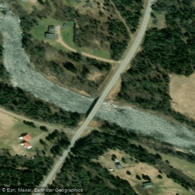
Class IV rapid at Garfield Bridge
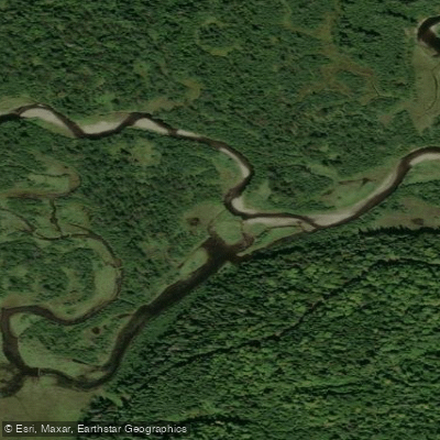
The Machias River in Aroostook County, Maine flows as a tributary to the Aroostook River, distinct from the more widely known Machias River in Washington County. This northern waterway offers paddlers a remote wilderness experience through the forested terrain of Maine's largest county. The river originates in the lake country west of Ashland, with Big Machias Lake serving as a primary headwater source. From there, it flows generally eastward through a series of connected lakes and river sections before joining the Aroostook River near the town of Ashland. The watershed includes both North and South branches that converge upstream, creating a river system that drains a substantial portion of western Aroostook County.
Paddling opportunities on this Machias River span approximately 33 miles from Big Machias Lake to Ashland, offering multi-day trip options through genuine backcountry. The upper section from Big Machias Lake to Pinkham Bridge covers roughly 13 miles and features the "Roaring Bulls," a notably vigorous Class II whitewater section that challenges paddlers shortly after leaving the lake. This stretch requires intermediate to advanced skills, particularly when carrying camping gear. Russell Crossing, a historic site where the 19th-century California Road once crossed the river, provides a primitive campsite along this upper route.
The lower section from Pinkham Bridge to Ashland extends approximately 20 miles and presents a more moderate character. The first eight miles flow gently past the confluence where the South Branch joins the North Branch at a location known as the Forks of the Machias. An old log driving dam site marks the transition to nearly continuous Class I-II rapids that persist to Ashland. Near Garfield Bridge, the rapids intensify to more vigorous Class II conditions at medium water levels before diminishing as the river approaches its confluence with the broad, smooth-flowing Aroostook River.
Access to this river system requires navigating private logging roads, with the primary put-in at Big Machias Lake located 19 miles west of Route 11 via American Realty Road. A North Maine Woods checkpoint five miles from the highway requires a nominal fee. The take-out in Ashland is conveniently located at the Fish and Game Club's public boat launch, accessible from Route 163.
Water levels dictate paddling season, with May through early June typically providing optimal flows. The river's dependence on spring runoff and precipitation means conditions vary significantly year to year. Several primitive campsites with fire rings dot the corridor, including the North Branch Machias Campsite near Pinkham Bridge, which serves as both a put-in and take-out point for various trip configurations.
The surrounding landscape features dense coniferous forests characteristic of northern Maine, with occasional views of Horse Mountain and Jack Mountain—peaks that served as landmarks during the historic log driving era. Wildlife sightings commonly include moose, white-tailed deer, and various waterfowl, while the river itself supports populations of brook trout and smallmouth bass.
Curated routes
Hand-picked by the PaddleWays team, with put-ins, take-outs, paddle times and the hazards along the way.
RouteClass I–III
Hazards
No hazards are marked on Machias River yet. That is not the same as none being there: if you find one, report it for the next paddler.
From the community
Nobody has shared a trip on Machias River yet. Paddle it, then tell the next paddler how it went.
See exactly where the public can get on and off the river. Launch points and boat ramps are paired with PaddleWays' public land data so you know where you can legally land.
Public shoreline
0%of the river's shoreline is public
Most of the riverbank is private. Launch, land and camp only at public access points.
Flows, weather and a route-by-route verdict, so you know which stretch of the Machias River is worth paddling today.
No forecast data available.
Live flows, marked hazards and fresh trip reports from paddlers who were just on the water, all in one place.





Every user gets free access to launch points, boat ramps, and public property parcels.










Loading popular cities...
PaddleWays gives you everything you need to plan smarter, paddle better, and own every trip from first launch to takeout.