Curated by PaddleWays
RouteClass II–IV
- Distance
- 20.5 mi
- Paddle time
- ~5 hrs
- Best for
- Kayak, canoe
- Put-in → take-out
- Mattawamkeag River Boat Ramp → Penobscot River Boat Ramp
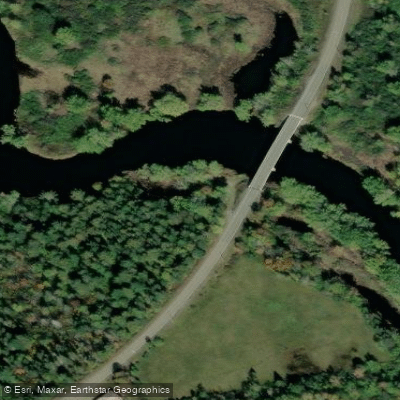
The Mattawamkeag River is a significant waterway in eastern Maine, originating from the confluence of its East and West Branches near Haynesville. Flowing southeast for approximately 50 miles, it joins the Penobscot River near the town of Mattawamkeag. The river system drains a vast watershed in Aroostook and Penobscot counties, including numerous lakes and streams.
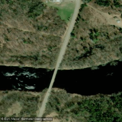
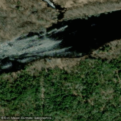
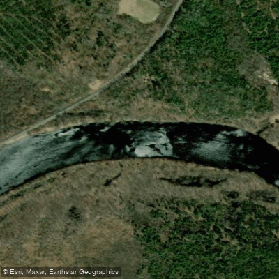
Paddlers can experience a range of conditions on the Mattawamkeag, from placid flatwater to challenging whitewater. The West Branch offers a 39-mile stretch from Route 11 to Haynesville, suitable for intermediate paddlers with its Class I-II rapids. The East Branch provides a 27-mile run from Smyrna Mills to Haynesville, also rated Class I-II. For more experienced paddlers, the lower Mattawamkeag below Kingman presents a thrilling 12.5-mile section of Class II-IV whitewater.
Water levels are typically best for paddling in spring and early summer, with some sections remaining navigable into fall. The river's flow can vary significantly with rainfall and snowmelt, so checking current conditions is crucial.
The Mattawamkeag's corridor supports a rich ecosystem. Paddlers may encounter moose, deer, bald eagles, and various waterfowl. The surrounding forests feature a mix of hardwoods and conifers, with stands of silver maple in the floodplain areas.
Notable features include the twisting oxbow-like bends between Haynesville and Wytopitlock, and the challenging Smooth Pitch section on the East Branch. The Pierce Tote Road near the West Branch offers hiking opportunities for those looking to extend their adventure on land.
Primary access points include Route 11 and Haynesville on the West Branch, Smyrna Mills on the East Branch, and Kingman and Mattawamkeag town on the lower river. These small communities serve as gateways to the river, offering basic services for paddlers.
Historically, the Mattawamkeag played a crucial role in logging operations and served as a travel route for indigenous peoples. Today, it remains an important recreational resource and ecological corridor.
Safety considerations include proper equipment for cold water paddling, awareness of rapid classifications, and respect for private property along the shores. Some sections, particularly the lower Mattawamkeag, require advanced whitewater skills and should not be attempted by novices.
For those seeking a multi-day adventure, the combined East and West Branch runs offer nearly 70 miles of paddling, with numerous primitive camping opportunities along the way. This extended trip provides a comprehensive experience of the Mattawamkeag's diverse character, from its serene upper reaches to its more challenging lower sections.
Curated routes
Hand-picked by the PaddleWays team, with put-ins, take-outs, paddle times and the hazards along the way.
RouteClass II–IV
RouteClass I–II
Hazards
No paddler has reported a hazard here yet, so these are the dams, falls and big rapids on our map. Hazards change with flows and storms, so check them before you launch.
From the community
Nobody has shared a trip on Mattawamkeag River yet. Paddle it, then tell the next paddler how it went.
See exactly where the public can get on and off the river. Launch points and boat ramps are paired with PaddleWays' public land data so you know where you can legally land.
Public shoreline
0%of the river's shoreline is public
Most of the riverbank is private. Launch, land and camp only at public access points.
Flows, weather and a route-by-route verdict, so you know which stretch of the Mattawamkeag River is worth paddling today.
Live flows, marked hazards and fresh trip reports from paddlers who were just on the water, all in one place.





Every user gets free access to launch points, boat ramps, and public property parcels.










Loading popular cities...
PaddleWays gives you everything you need to plan smarter, paddle better, and own every trip from first launch to takeout.