Curated by PaddleWays
RouteFlatwater
- Distance
- 5.8 mi
- Paddle time
- ~2.5 hrs
- Put-in & take-out
- Nequasset Lake Boat Ramp
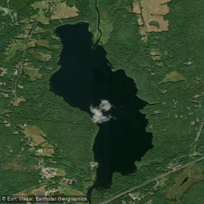
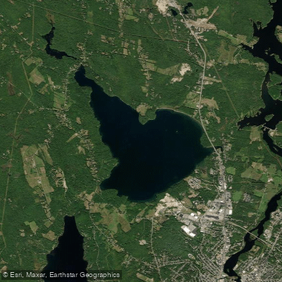
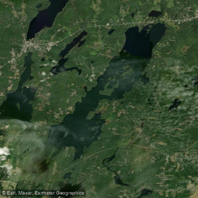
Nequasset Lake is a 392-acre warm-water lake located in Woolwich, Maine. The largely undeveloped shoreline features rocky points and scattered sand beaches, with the largest beach situated on the north shore. The lake reaches a maximum depth of 63 feet, though most areas are shallower, particularly in the northern section which rarely exceeds 30 feet.
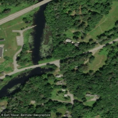
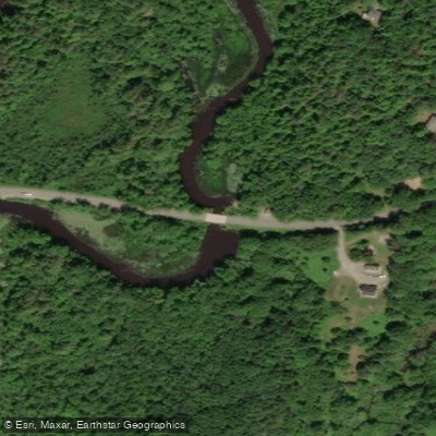
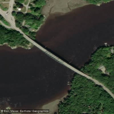
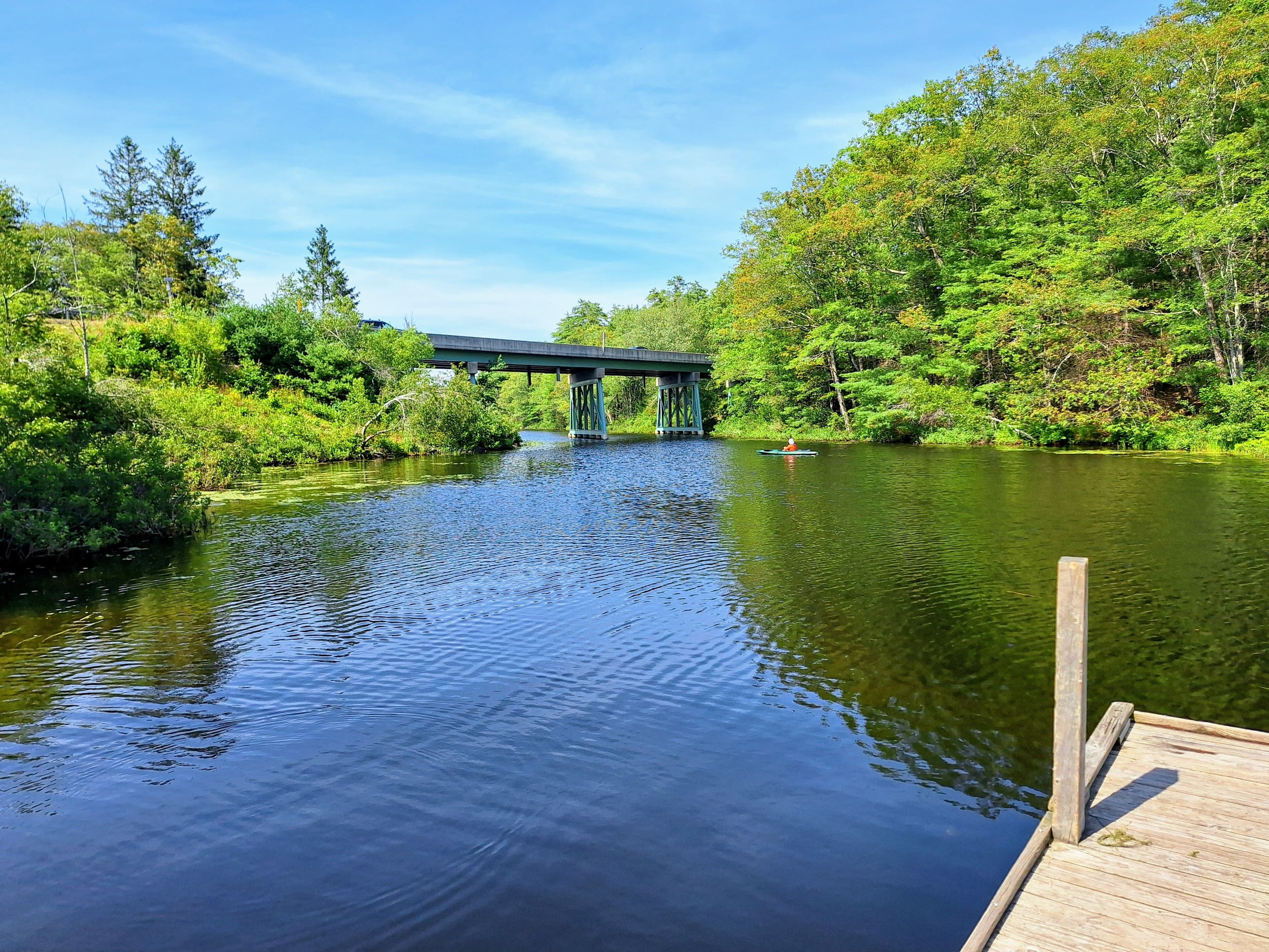
Two primary access points serve paddlers: the northern inlet off Old Stage Road and Nequasset Park off George Wright Road at the southern outlet. The northern access involves a bridge that can restrict passage when water levels are high. A hand-carry launch area with a small cement ramp and sandy bottom is available in the lawn area, while a paved boat launch serves motorized craft.
Motorboats over 10 horsepower are prohibited as this is a public water supply for the Bath Water District. The lake provides drinking water to 15,000 people, and swimming is not allowed.
Paddlers can explore the narrow tributary on the north end, which features lily pads and wild lupine. The main lake body, about a mile in length, offers an uncrowded paddling experience with few shoreline structures aside from the Bath Water District's pump station on the southwest end. A beach at the far end allows landing to access a rocky point.
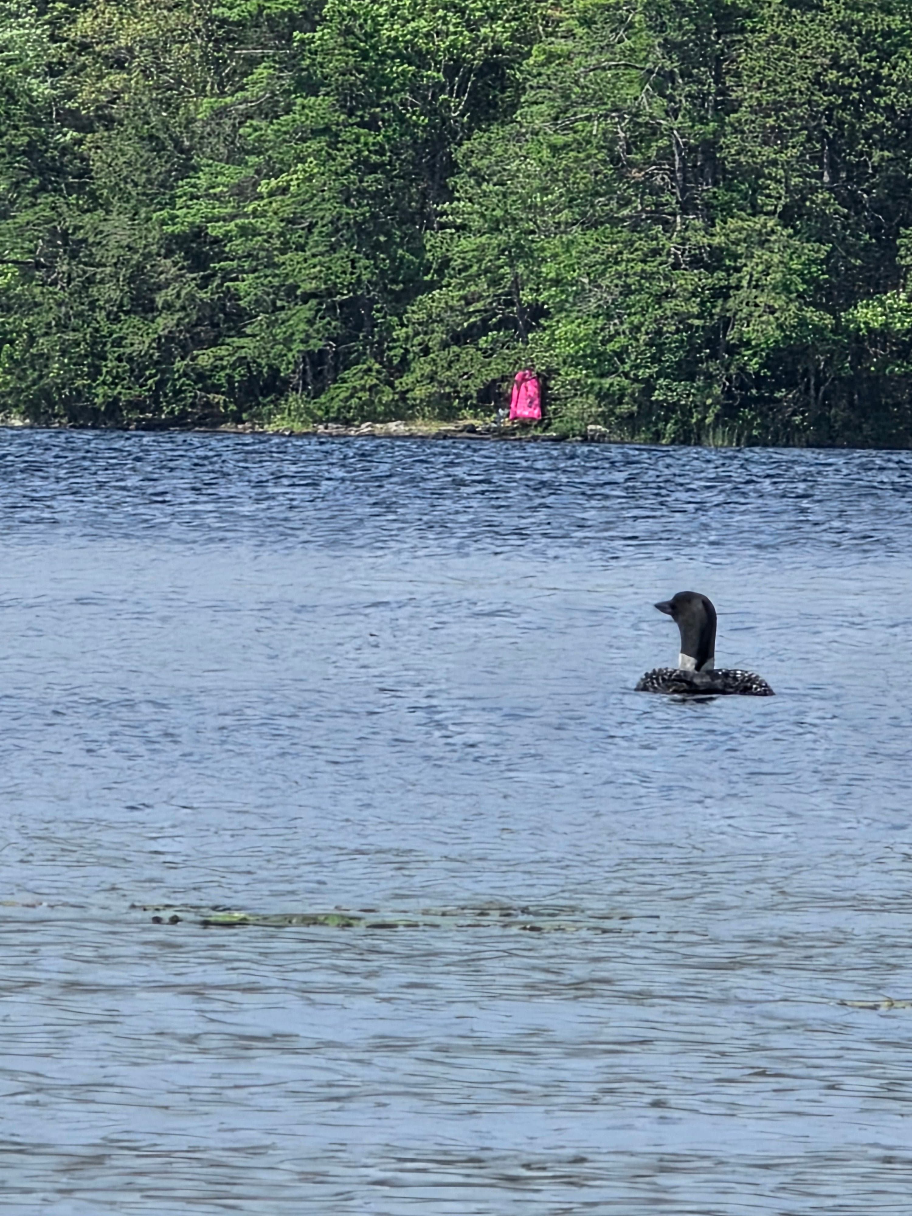
Summer surface water temperatures reach 72°F, dropping to 56°F at 60-foot depths. The lake supports diverse wildlife, including great blue herons and bald eagles. Wind conditions can create choppy waters, particularly in open sections.
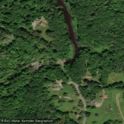
For an extended paddle, combine lake exploration with Nequasset Brook, which connects to the lake and offers a peaceful downstream return with overhanging trees creating a bayou-like atmosphere. Early morning typically provides calmer conditions for paddling.
Curated routes
Hand-picked by the PaddleWays team, with put-ins, take-outs, paddle times and the hazards along the way.
RouteFlatwater
Hazards
No hazards are marked on Nequasset Lake yet. That is not the same as none being there: if you find one, report it for the next paddler.
From the community
Real trips from PaddleWays paddlers: which route they ran, how the water was, and what to watch for.
Loading trip reports
Joseph A.
SUP •
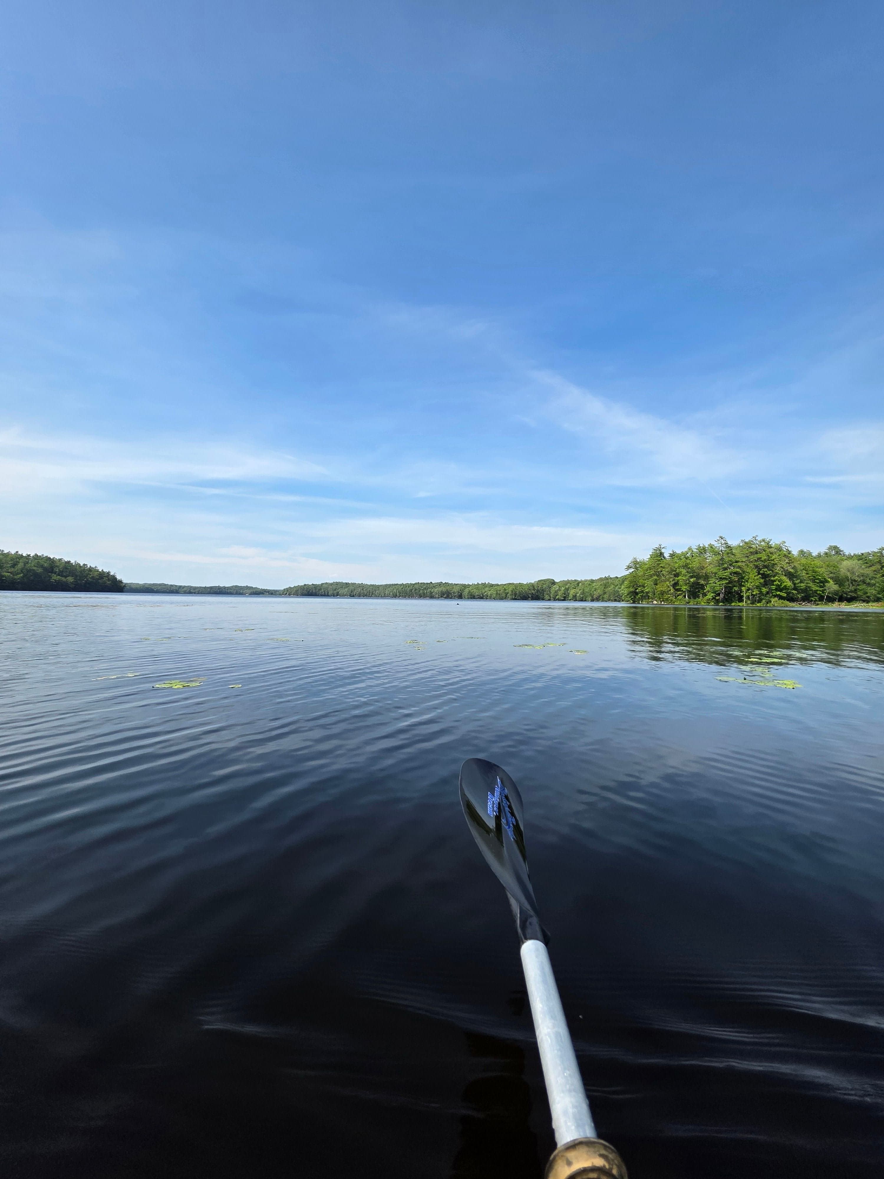
First time paddling Nequasset Lake. Great time, nice breeze, bright and sunny!
 +3
See exactly where the public can get on and off the water. Launch points and boat ramps are paired with PaddleWays' public land data so you know where you can legally land.
Public shoreline
0%of the lake's shoreline is public
Most of the shoreline is private. Launch, land and camp only at public access points.
Weather, wind and a verdict for each route, so you know if Nequasset Lake is worth paddling today.
No forecast data available.
Live flows, marked hazards and fresh trip reports from paddlers who were just on the water, all in one place.





Every user gets free access to launch points, boat ramps, and public property parcels.

Loading popular cities...
PaddleWays gives you everything you need to plan smarter, paddle better, and own every trip from first launch to takeout.