Nonesuch River
- Saltwater
- Tidal river
Nonesuch River
- Saltwater
- Tidal river
- Sq. miles
- 0.3
- Boat Ramps
- 1
- Access Points
- 0
- Campsites
- 7
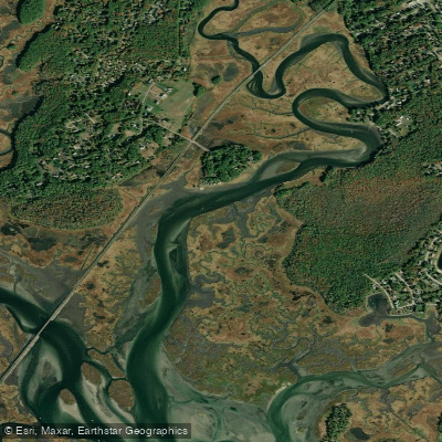
The Nonesuch River is a tidal river in Scarborough, Maine, offering a winding, protected paddle through coastal marshland. The primary public access for paddlers is the boat launch at the end of Clay Pit Road, which provides a free launch with ample parking but no public bathrooms. A secondary, more ocean-oriented launch is available at Ferry Beach at the end of Ferry Road, where a sandy, gradual put-in is suitable for kayaks and paddleboards; parking fees are collected here between 9 a.m. and 5 p.m., with restrooms and showers available. The character of the paddle changes significantly with the tide, which creates a strong current at its peak. For a typical four-hour upstream paddle from the Clay Pit launch, it is advised to put in 30 to 45 minutes before the high tide time listed for the nearby beach, using the incoming tide to assist the journey upstream; note that high tide occurs later further inland. Paddling at high tide is generally recommended for easier navigation and access to the marsh's smaller channels.
The river is characterized by sharp, fun-to-navigate corners and a width sufficient for paddling side-by-side. The route passes under a railroad trestle and Black Point Road (Route 207). Beyond this bridge, paddlers may encounter downed trees requiring careful passage. The environment transitions from saltier water near the mouth to more freshwater upstream, with a variety of plant life and wildlife including egrets and herons. The sounds of traffic near Black Point Road give way to a feeling of remoteness. The river eventually leads to expansive marsh fields, and a decision point where continuing right stays on the main river channel while going straight leads into a pond. The mouth of the river opens near Pine Point and Prout's Neck, exposing paddlers to ocean swell; this area is more exposed than the protected upper river. Duck blinds along the river indicate hunting activity in the fall. The paddle is considered suitable for beginners comfortable with basic strokes, though the strong tidal currents and potential for four-hour trips suggest paddlers should have some endurance. Motorboat traffic is a potential hazard, particularly near the river's mouth.
Water access, boat ramps & amenities
Learn how to get on Nonesuch River. Uncover great paddling access points, boat ramps, and all the facilities you need for an unforgettable day on the water. Some locations shown may border or include private property. Always check property boundaries and applicable regulations before visiting. PaddleWays's Public & Private Land layer can help you plan your access with confidence.
Paddle smarter with real-time insights
Whether you're en route and conditions shift or you're looking for the best spot based on current flows, we enable you to make informed decisions on the fly.








Find Places to Paddle

Over 400,000 Places to Paddle
Every user gets free access to launch points, boat ramps, and public property parcels.


Tides, wind & water conditions (10 day forecast)
On open water, wind and tide matter as much as the weather. See the best times to paddle Nonesuch River and check the marine forecast before you launch.
Loading tide predictions…
Paddling near Nonesuch River
Saco River
Lake Winnipesaukee
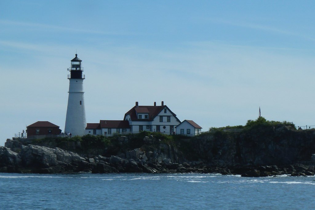
Casco Bay
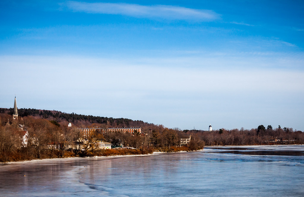
Kennebec River
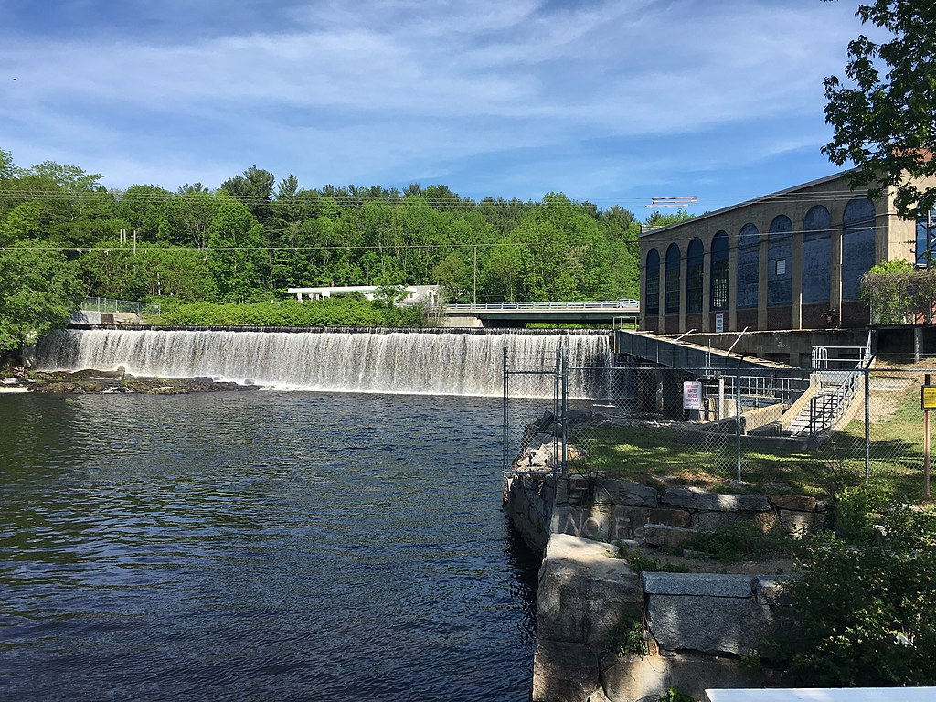
Salmon Falls River
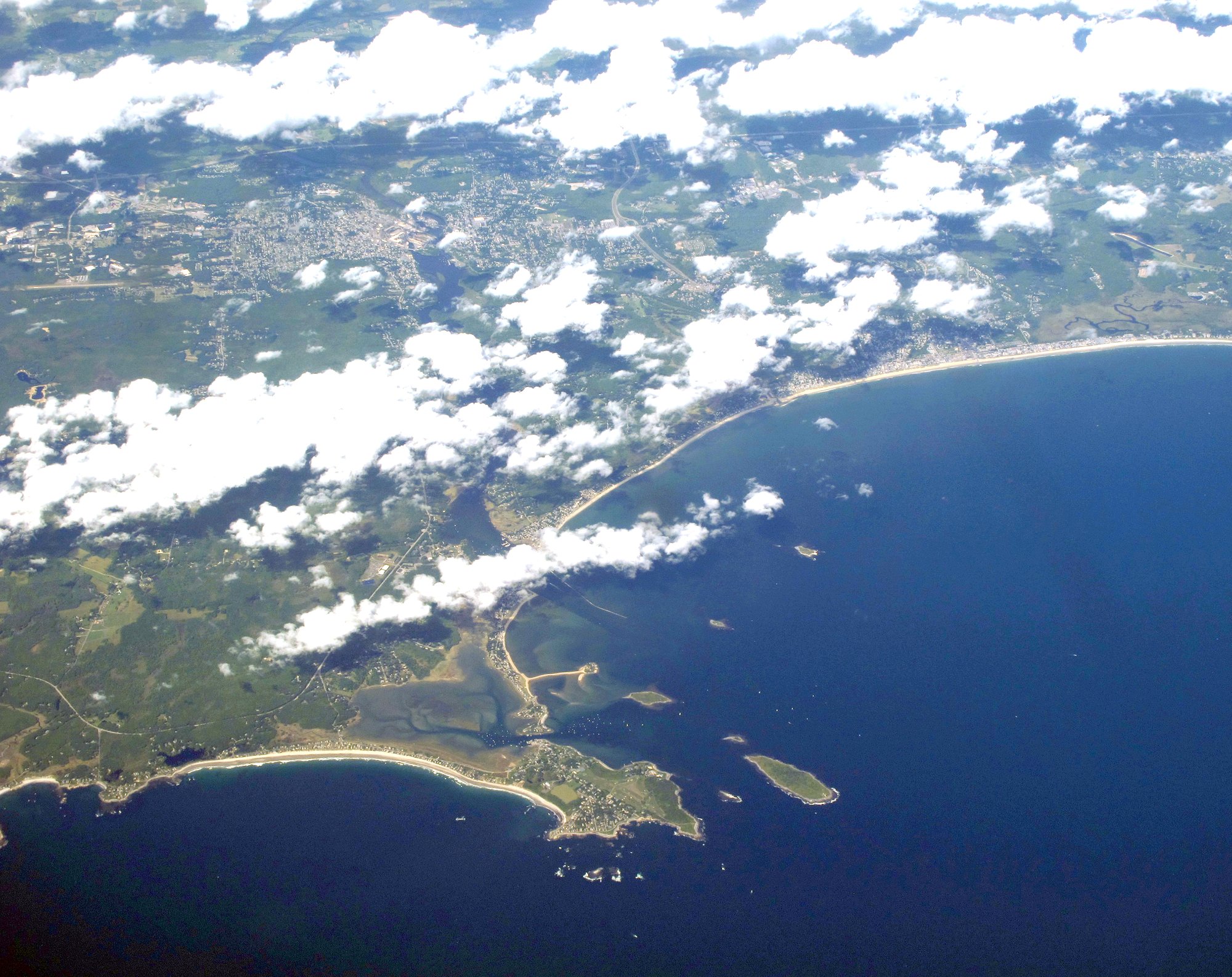
Saco Bay
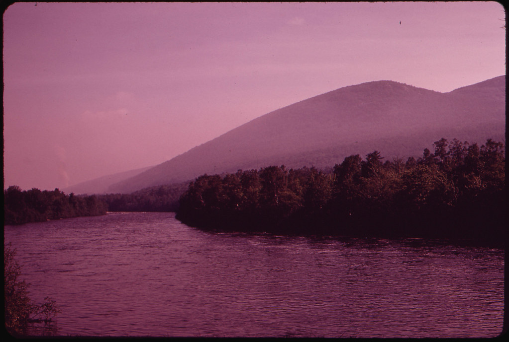
Androscoggin River
Lamprey River
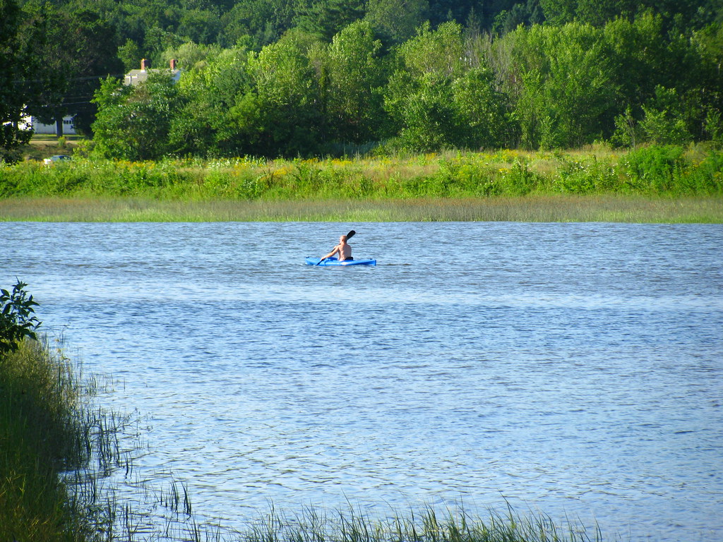
Squamscott River
Explore Maine waters
Top paddling waters
Popular Cities
Loading popular cities...
Explore near Nonesuch River
Access points
Nearby waters
More in Maine

Smarter Paddling Starts in the App.
Paddleways gives you everything you need to plan smarter, paddle better, and own every trip from first launch to takeout.