Curated by PaddleWays
RouteClass I–II
- Distance
- 21.2 mi
- Paddle time
- ~7 hrs
- Best for
- Intermediate paddlers
- Put-in → take-out
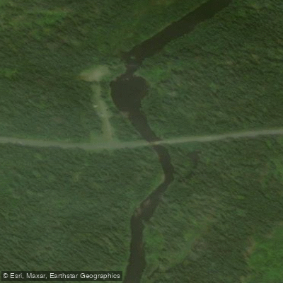
- Big Bog Access → Seboomook Lake Boat Ramp
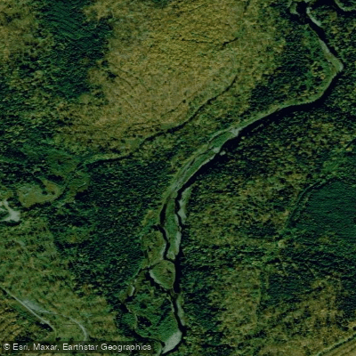
The North Branch Penobscot River originates in the remote forests of northwestern Maine, flowing southeast to join the West Branch and form the main stem of the Penobscot River. This wild waterway carves through pristine wilderness for approximately 30 miles before reaching Pittston Farm. Paddlers can experience a range of conditions, from gentle Class I-II rapids to more challenging Class III sections. The 20.8-mile stretch from Big Bog Dam to Pittston Farm offers an ideal multi-day wilderness trip for intermediate canoeists and kayakers. This section features easy riffles and small waves as the river meanders through dense forest.
Spring snowmelt typically provides the best water levels from late April through early June. Summer paddling is possible but may require navigating shallow rocky sections. The river corridor hosts diverse wildlife including moose, black bears, and bald eagles. Old growth pine and spruce forests line the banks.
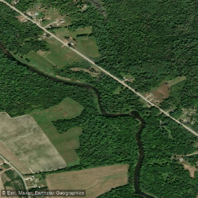
Key landmarks include the put-in at Big Bog Dam and take-out at historic Pittston Farm. Primitive campsites are available approximately every 10 river miles as part of the Penobscot River Paddling Trail. The small settlement of Pittston Farm offers the only road access point along this remote stretch.
This region holds great significance for Native American tribes and was later central to Maine's logging industry. Today it remains largely undeveloped, offering paddlers a true wilderness experience.
Paddlers should be self-sufficient and prepared for limited services. Proper safety gear and wilderness camping equipment are essential. Cold water conditions persist well into summer. Bear-proof food storage is recommended at campsites.
For those seeking a longer journey, the North Branch can be combined with sections of the West Branch and main Penobscot for extended multi-day expeditions. However, the isolated nature of the North Branch makes it a prime destination for those seeking solitude and unspoiled natural beauty in the heart of Maine's North Woods.
Curated routes
Hand-picked by the PaddleWays team, with put-ins, take-outs, paddle times and the hazards along the way.
RouteClass I–II
Hazards
No hazards are marked on North Branch Penobscot River yet. That is not the same as none being there: if you find one, report it for the next paddler.
From the community
Nobody has shared a trip on North Branch Penobscot River yet. Paddle it, then tell the next paddler how it went.
See exactly where the public can get on and off the river. Launch points and boat ramps are paired with PaddleWays' public land data so you know where you can legally land.
Public shoreline
11%of the river's shoreline is public
Most of the riverbank is private. Launch, land and camp only at public access points.
Flows, weather and a route-by-route verdict, so you know which stretch of the North Branch Penobscot River is worth paddling today.
Live flows, marked hazards and fresh trip reports from paddlers who were just on the water, all in one place.





Every user gets free access to launch points, boat ramps, and public property parcels.

Loading popular cities...
PaddleWays gives you everything you need to plan smarter, paddle better, and own every trip from first launch to takeout.