Curated by PaddleWays
RouteClass I–II
- Distance
- 18.6 mi
- Paddle time
- ~6 hrs
- Put-in → take-out
- Saponac Pond Boat Ramp → Penobscot River Boat Ramp
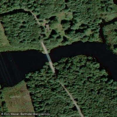
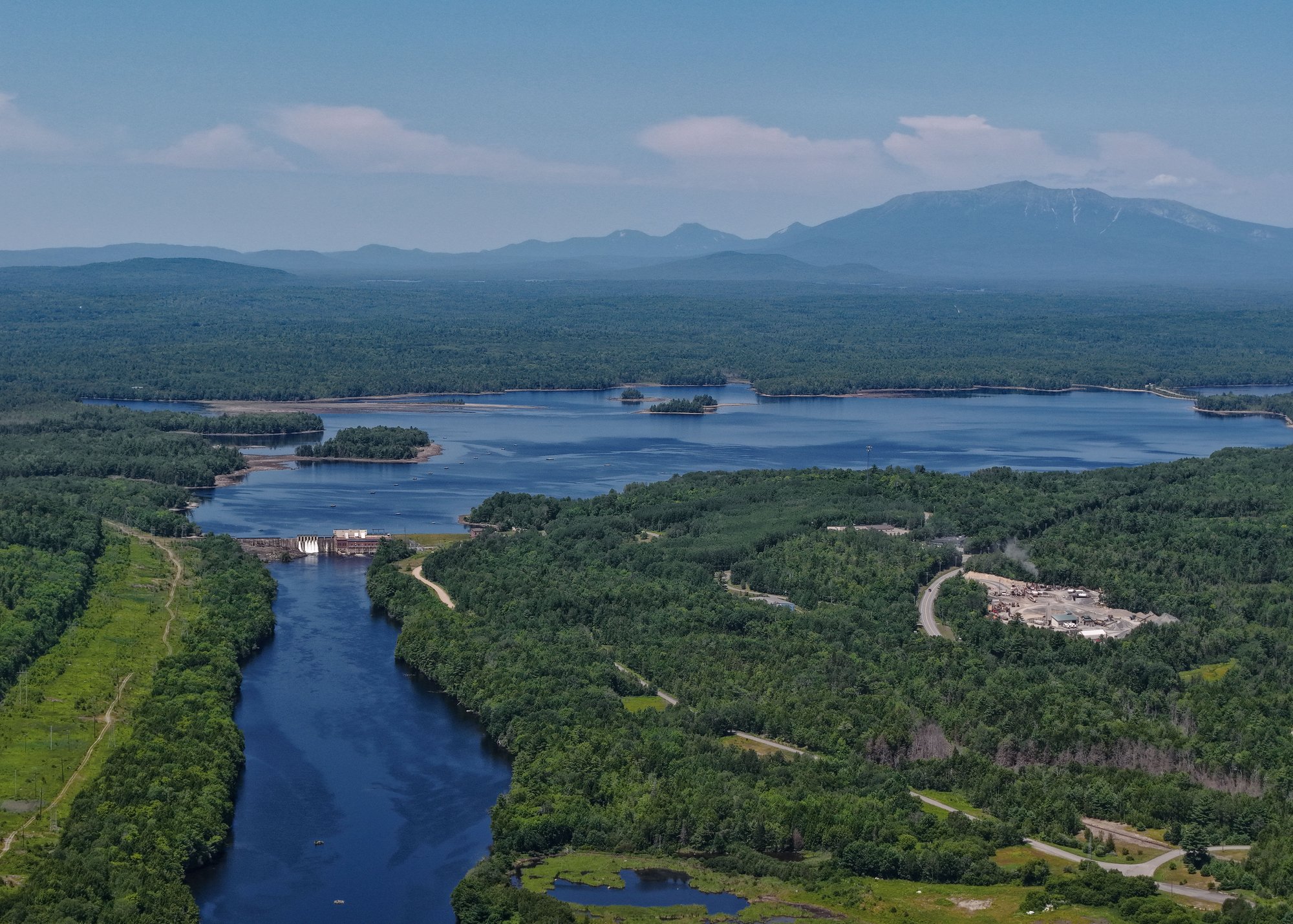
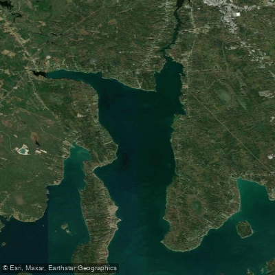
The Passadumkeag River is a scenic waterway in Penobscot County, Maine, flowing approximately 35 miles from its headwaters near Saponac Pond to its confluence with the Penobscot River. This river system offers a diverse range of paddling experiences, from challenging whitewater to tranquil flatwater sections. The upper reaches of the Passadumkeag feature a steep 0.8-mile Class V whitewater section near Saponac, suitable only for expert paddlers. This stretch, known as Grand Falls, has a gradient of 75 feet per mile and requires advanced technical skills to navigate safely.
Downstream, the river transitions to more moderate Class I-II rapids and flatwater, making it accessible to a wider range of paddlers. The lower sections, particularly near the town of Passadumkeag, offer excellent opportunities for leisurely day trips and fishing. A popular route is the 6-mile round trip from Passadumkeag to Rocky Rips and back.
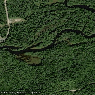
The Passadumkeag River system includes several notable tributaries, such as Cold Stream, which joins the main stem near the town of Passadumkeag. Cold Stream provides additional quiet water paddling through scenic meadows and along oak-fringed shorelines, extending for at least 5 miles to Little Stream Pond.
Spring snowmelt typically provides the most reliable flows for whitewater enthusiasts, while summer and early fall offer ideal conditions for flatwater paddling and fishing. The river and its surrounding watershed support diverse wildlife, including various fish species, birds, and mammals.
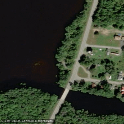
Key access points include the put-in at Saponac for the Class V section, a paved boat ramp off Route 2 in Passadumkeag, and various informal access points along the river's course. The nearby towns of Howland, Greenbush, and Old Town serve as convenient bases for river trips.
The Passadumkeag River holds cultural significance for the indigenous Penobscot people and played a role in the region's logging history. Today, it's valued for its recreational opportunities and as an important ecological corridor.
Paddlers should be aware of potential hazards such as strainers, especially in the upper sections, and should always check current water levels before embarking on a trip. The river's proximity to the larger Penobscot River allows for extended paddling adventures, with options to continue downstream to various take-out points along the Penobscot.
For those seeking a multi-day experience, the Passadumkeag can be incorporated into longer trips on the Penobscot River Paddling Trail, which offers designated campsites and access points along its course.
Curated routes
Hand-picked by the PaddleWays team, with put-ins, take-outs, paddle times and the hazards along the way.
RouteClass I–II
Hazards
No paddler has reported a hazard here yet, so these are the dams, falls and big rapids on our map. Hazards change with flows and storms, so check them before you launch.
From the community
Nobody has shared a trip on Passadumkeag River yet. Paddle it, then tell the next paddler how it went.
See exactly where the public can get on and off the river. Launch points and boat ramps are paired with PaddleWays' public land data so you know where you can legally land.
Public shoreline
0%of the river's shoreline is public
Most of the riverbank is private. Launch, land and camp only at public access points.
Flows, weather and a route-by-route verdict, so you know which stretch of the Passadumkeag River is worth paddling today.
No forecast data available.
Live flows, marked hazards and fresh trip reports from paddlers who were just on the water, all in one place.





Every user gets free access to launch points, boat ramps, and public property parcels.
Loading popular cities...
PaddleWays gives you everything you need to plan smarter, paddle better, and own every trip from first launch to takeout.