Curated by PaddleWays
RouteClass II–III
- Distance
- 5.8 mi
- Paddle time
- ~1.5 hrs
- Best for
- Canoe
- Put-in → take-out
- Savage Road Bridge → Sheppard Road Bridge
Narrow drop at old mill site
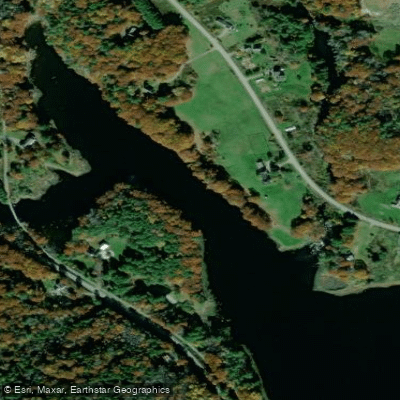
The Passagassawakeag River, locally known as the Passy, is a dynamic waterway in central Maine that flows generally southeast through Waldo County before emptying into Penobscot Bay near Belfast. The river offers approximately 5-6 miles of paddling opportunities through a varied landscape of forests, meadows, and rocky gorges.
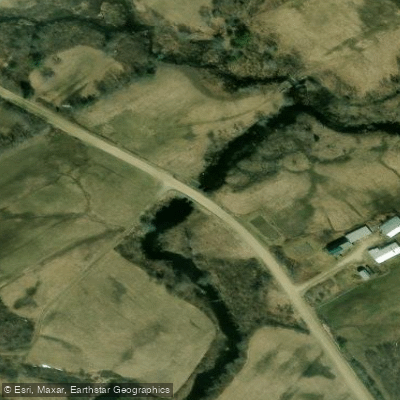
The Passy is best known for its popular 5.3-mile race course, which begins at the Whitcomb Road/Savage Road bridge in Morrill and ends at Shepard Road. This section features Class II-III rapids, making it suitable for intermediate paddlers. A highlight of this stretch is the old mill site known as Snowmobile Bridge or Young's, where the river narrows and paddlers can choose different lines based on water levels and skill.
For more advanced paddlers, the Passy Gorge section downstream of Rolerson Bridge offers challenging Class III-IV whitewater. This 1-2 mile stretch demands strong maneuvering and bracing skills to navigate large waves and powerful currents. Most paddlers take out above the dam that marks the end of this section, both for safety reasons and due to the intensified rapids beyond.
The river's flow is heavily influenced by spring snowmelt and rainfall, with the annual Passagassawakeag River Race typically held on the first weekend of April to capitalize on high water conditions. This event, which kicks off the regional canoe racing season, draws paddlers from across New England to test their skills on the Passy's swift current and technical rapids.
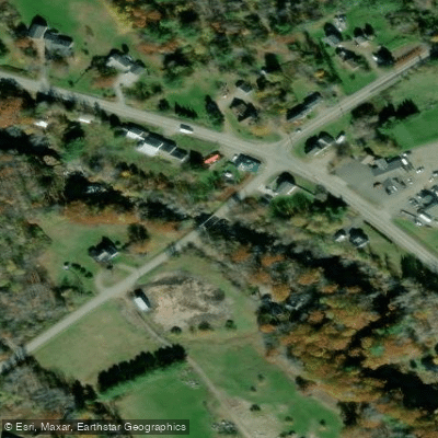
Access to the river is primarily via the put-ins at Whitcomb Road bridge in Morrill and Rolerson Bridge. The latter serves as an important gauge for water levels - if the rocks just downstream are exposed, the water may be too low for a good run, while flooding onto the left bank lawn indicates potentially dangerous high water conditions.
The Passy holds significant cultural importance for the region, with its annual race having been a cornerstone event for nearly half a century. The river's course through rural Maine offers glimpses of both pristine wilderness and remnants of the area's industrial past, such as the old mill site.
Safety is paramount on the Passagassawakeag, particularly in the more challenging Gorge section. Helmets are required for race participants, and all paddlers should be prepared for cold water conditions in the early season. The dam above Belfast serves as a critical hazard, and paddlers must be vigilant to take out well before this point.
While primarily known for its day-trip and racing potential, the Passy's connection to the larger watershed and proximity to coastal Maine make it a valuable component of longer paddling adventures for those exploring the region's diverse waterways.
Curated routes
Hand-picked by the PaddleWays team, with put-ins, take-outs, paddle times and the hazards along the way.
RouteClass II–III
Hazards
No paddler has reported a hazard here yet, so these are the dams, falls and big rapids on our map. Hazards change with flows and storms, so check them before you launch.
From the community
Nobody has shared a trip on Passagassawakeag River yet. Paddle it, then tell the next paddler how it went.
See exactly where the public can get on and off the river. Launch points and boat ramps are paired with PaddleWays' public land data so you know where you can legally land.
Public shoreline
0%of the river's shoreline is public
Most of the riverbank is private. Launch, land and camp only at public access points.
Flows, weather and a route-by-route verdict, so you know which stretch of the Passagassawakeag River is worth paddling today.
No forecast data available.
Live flows, marked hazards and fresh trip reports from paddlers who were just on the water, all in one place.





Every user gets free access to launch points, boat ramps, and public property parcels.










Loading popular cities...
PaddleWays gives you everything you need to plan smarter, paddle better, and own every trip from first launch to takeout.