Curated by PaddleWays
RouteClass I–II
- Distance
- 7.1 mi
- Paddle time
- ~2.5 hrs
- Best for
- Intermediate paddlers
- Put-in → take-out
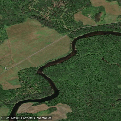
- North Howland Road Access → Piscataquis River Boat Ramp
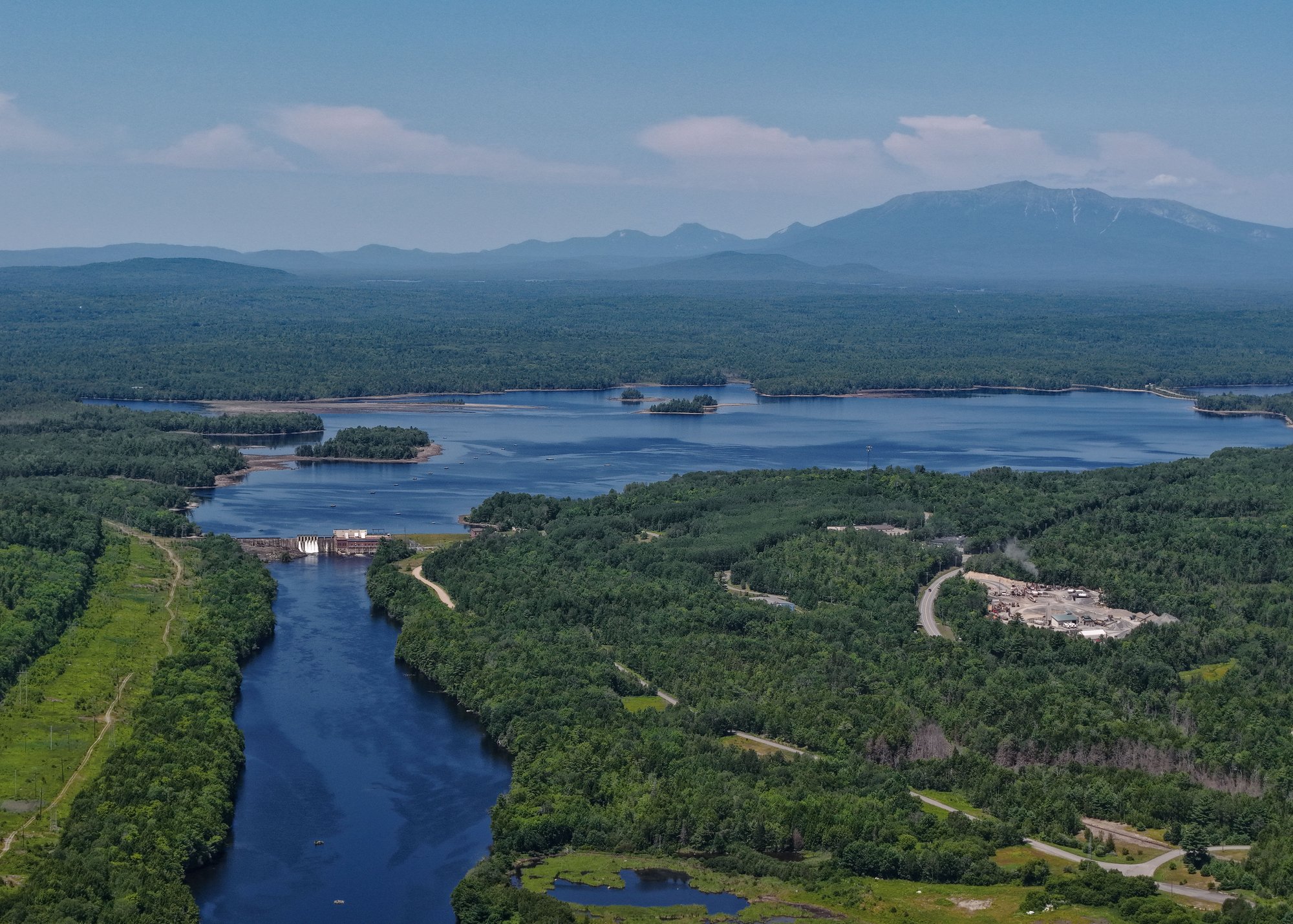
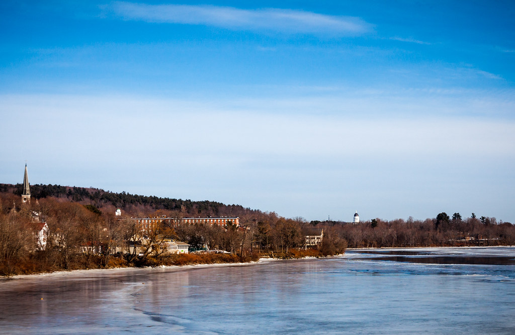
Howland Dam near the take-out
The Piscataquis River, a major tributary of the Penobscot River, flows through the heart of Piscataquis County in central Maine. This scenic waterway offers paddlers a diverse range of experiences, from calm flatwater sections to challenging whitewater rapids, all set against the backdrop of Maine's rugged wilderness.
The river is composed of several distinct sections, each with its own character. The upper reaches, including the East and West Branches, provide more technical paddling opportunities for experienced kayakers and canoeists. The Shirley Mills to Blanchard section on the East Branch is a short but intense 2.5-mile stretch of Class V whitewater, recommended only for expert paddlers. Similarly, the West Branch offers a challenging 9-mile run from Oakes Bog to Blanchard, featuring Class IV-V rapids.
As the river continues downstream, it becomes more accessible to intermediate paddlers. The popular 8-mile stretch from Barrows Falls to Upper Abbott offers an exciting mix of Class II-III rapids interspersed with calmer sections, making it an ideal run for those looking to improve their whitewater skills. This section begins with the scenic Barrows Falls, a series of rapids within a picturesque gorge, followed by about 200 yards of rapids and then a 2-mile flatwater stretch before encountering more varied water conditions.
For those seeking a gentler paddling experience, the lower sections of the Piscataquis offer several options. The Dover-Foxcroft area hosts an annual 9.5-mile canoe and kayak race, typically held in late April, which attracts dozens of participants ranging from recreational paddlers to competitive racers. This section, running from Guilford to Dover-Foxcroft, features mostly Class I-II rapids, making it suitable for a wider range of skill levels.
The best time to paddle the Piscataquis River is generally in the spring when water levels are higher due to snowmelt. However, sections of the lower river can be enjoyed throughout the summer and early fall. Paddlers should always check current water levels and conditions before embarking on any trip, as the difficulty of certain sections can vary significantly with changing water levels.
Wildlife enthusiasts will appreciate the opportunity to spot various species along the river, including moose, deer, and a variety of bird species. The surrounding landscape features a mix of dense forests, rocky outcroppings, and occasional open meadows, providing a quintessential Maine wilderness experience.
Several towns along the river offer convenient access points and services for paddlers. Guilford, Dover-Foxcroft, and Howland are key locations for put-ins and take-outs, with local outfitters providing rentals and shuttle services. The river plays a significant role in the local community, with events like the annual Piscataquis River Race, organized by the Kiwanis Club of Dover-Foxcroft, drawing participants and spectators alike.
For those interested in multi-day trips, the Piscataquis offers opportunities to combine several sections for a longer adventure. Paddlers can potentially string together runs from the upper reaches down to the confluence with the Penobscot River, though this would require careful planning and consideration of skill levels required for each section.
Safety is paramount when paddling the Piscataquis River. All paddlers should wear appropriate safety gear, including life jackets, and be prepared for sudden changes in weather and water conditions. Group paddling is recommended, especially on the more challenging sections. Additionally, paddlers should be aware of any dams or other man-made obstacles along their route and plan portages accordingly.
Whether you're an adrenaline-seeking whitewater enthusiast or a casual paddler looking to explore Maine's beautiful riverscapes, the Piscataquis River offers a paddling experience to suit nearly every taste and skill level.
Curated routes
Hand-picked by the PaddleWays team, with put-ins, take-outs, paddle times and the hazards along the way.
RouteClass I–II
RouteClass I–II
RouteClass I–II
RouteClass I–II
RouteClass II–III
Hazards
No paddler has reported a hazard here yet, so these are the dams, falls and big rapids on our map. Hazards change with flows and storms, so check them before you launch.
From the community
Nobody has shared a trip on Piscataquis River yet. Paddle it, then tell the next paddler how it went.
See exactly where the public can get on and off the river. Launch points and boat ramps are paired with PaddleWays' public land data so you know where you can legally land.
Public shoreline
5%of the river's shoreline is public
Most of the riverbank is private. Launch, land and camp only at public access points.
Flows, weather and a route-by-route verdict, so you know which stretch of the Piscataquis River is worth paddling today.
All Flow Stations
Live flows, marked hazards and fresh trip reports from paddlers who were just on the water, all in one place.





Every user gets free access to launch points, boat ramps, and public property parcels.
Loading popular cities...
PaddleWays gives you everything you need to plan smarter, paddle better, and own every trip from first launch to takeout.