Curated by PaddleWays
RouteClass IV–V
- Distance
- 2.8 mi
- Paddle time
- ~0.5 hrs
- Best for
- Kayak
- Put-in → take-out
- Rapid River Boat Ramp → Cedar Stump Campground Hand Launch
Class IV-V rapids demanding skill
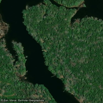
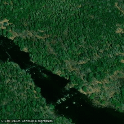
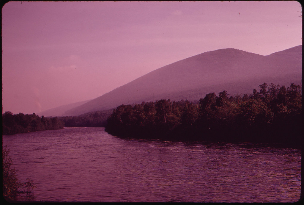
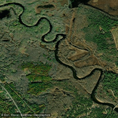
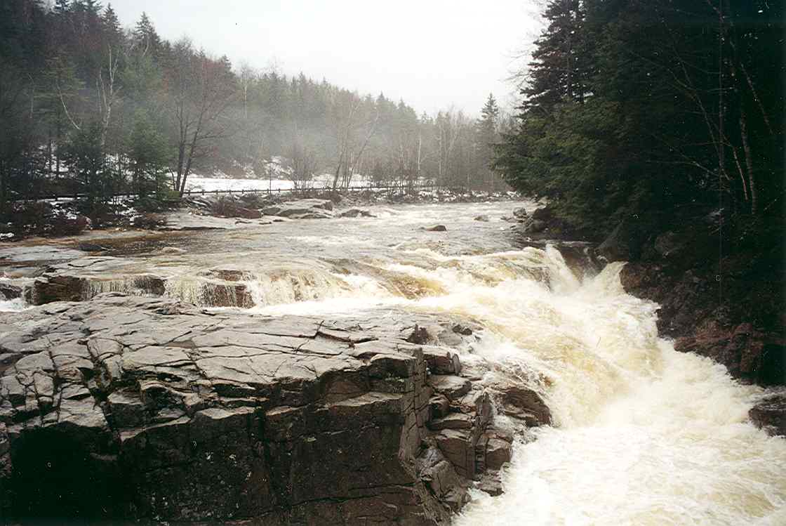
The Rapid River is a short but intense whitewater river in western Maine, flowing approximately 3.5 miles from Pond in the River to Lake Umbagog on the Maine-New Hampshire border. True to its name, the Rapid River features some of the fastest-dropping water in New England, with an average gradient of over 100 feet per mile. The river's main whitewater section begins at the lower dam of Pond in the River and descends rapidly towards Lake Umbagog through a series of challenging Class IV-V rapids. This stretch demands expert paddling skills and is considered one of the premier whitewater runs in the Northeast. The river's intensity is matched by its pristine surroundings, flowing through a remote wilderness area.
The Rapid River is renowned for its exceptional brook trout and landlocked salmon fishery. It's considered one of the best rivers in the United States to catch trophy-sized wild brook trout, with fish over 17 inches not uncommon. Fishing regulations are strict to protect this valuable resource.
Access to the river is limited, adding to its wilderness character. The main put-in is at Pond in the River, while take-out is at Lake Umbagog. For those not paddling, the Rapid River Carry Trail provides a 4-mile hiking route paralleling the river, offering access for anglers and picturesque views of the rapids.
The paddling season typically runs from May to October, with scheduled dam releases providing optimal flows for whitewater enthusiasts. However, the river's remote location and intense rapids make it suitable only for expert paddlers with proper equipment and rescue skills.
Historically, the Rapid River played a role in the logging industry, with remnants of old logging camps still visible along its banks. Today, it's prized for its recreational value and ecological importance, managed to balance preservation with controlled access.
For those seeking a multi-day adventure, the Rapid River can be combined with paddling on Lake Umbagog and the upper Androscoggin River, offering a mix of whitewater and flatwater paddling through the scenic North Woods region of Maine and New Hampshire.
Safety is paramount on the Rapid River. Paddlers must be prepared for remote wilderness conditions, cold water, and challenging rapids with few escape routes. Local knowledge and proper equipment are essential for a safe experience on this iconic New England whitewater river.
Curated routes
Hand-picked by the PaddleWays team, with put-ins, take-outs, paddle times and the hazards along the way.
RouteClass IV–V
Hazards
No paddler has reported a hazard here yet, so these are the dams, falls and big rapids on our map. Hazards change with flows and storms, so check them before you launch.
From the community
Nobody has shared a trip on Rapid River yet. Paddle it, then tell the next paddler how it went.
See exactly where the public can get on and off the river. Launch points and boat ramps are paired with PaddleWays' public land data so you know where you can legally land.
Public shoreline
0%of the river's shoreline is public
Most of the riverbank is private. Launch, land and camp only at public access points.
Flows, weather and a route-by-route verdict, so you know which stretch of the Rapid River is worth paddling today.
No forecast data available.
Scheduled releases and generation forecasts from the dams on Rapid River.
Rapid River · Below Middle Dam · Brookfield Renewable
500 cfs now
Forecast updated today at 6:22 PM EST. Schedules can change, so check the operator's page before you go.
Live flows, marked hazards and fresh trip reports from paddlers who were just on the water, all in one place.





Every user gets free access to launch points, boat ramps, and public property parcels.

Loading popular cities...
PaddleWays gives you everything you need to plan smarter, paddle better, and own every trip from first launch to takeout.