Curated by PaddleWays
RouteClass II–III
- Distance
- 7.4 mi
- Paddle time
- ~2 hrs
- Best for
- Intermediate paddlers
- Put-in → take-out
- First Roach Pond Boat Ramp → Moosehead Lake Boat Ramp
The Roach River is a captivating waterway in Maine's Piscataquis County, originating at the outlet dam of First Roach Pond near the small village of Kokadjo. This river flows southwesterly for approximately 6.5 miles before emptying into Moosehead Lake at Spencer Bay, making it a significant tributary to Maine's largest lake. The Roach River offers an exhilarating paddling experience, particularly popular among intermediate whitewater enthusiasts. The main paddling section runs from Kokadjo to Jewett Cove on Moosehead Lake, featuring Class II-III rapids interspersed with calmer stretches. This diverse character provides an ideal balance of challenge and scenic enjoyment.
Skill requirements for the Roach River vary, with the whitewater sections demanding solid boat control and the ability to read rapids. Paddlers should be comfortable with Class III conditions and have experience in swift water rescue techniques. Like many Maine rivers, the Roach typically sees optimal paddling conditions in late spring and early summer when snowmelt and rain increase water levels. However, the presence of the outlet dam at First Roach Pond may help regulate flow to some extent.
The river corridor is characteristic of Maine's North Woods, hosting a variety of flora and fauna typical to the region, including coniferous forests and potentially moose, deer, and various bird species.
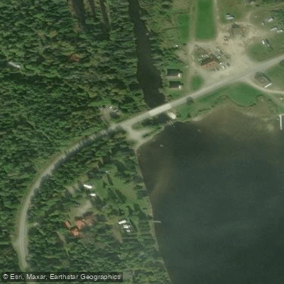
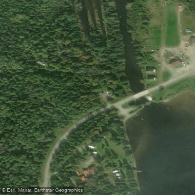
Access to the Roach River is primarily concentrated at two points. The put-in is located at the outlet dam on First Roach Pond in Kokadjo, approximately 20 miles north of Greenville. The take-out is at Jewett Cove on Moosehead Lake, which requires a half-mile paddle across the lake to complete the trip.
A unique aspect of paddling the Roach River is the combination of river and lake environments. The journey concludes with a short lake paddle, offering a distinct transition from moving water to the expansive Moosehead Lake. Safety considerations include proper whitewater gear, awareness of changing water conditions, and preparation for the lake crossing at the end. Paddlers should also be aware of the relatively remote nature of the area and plan accordingly.
While not as well-known as some other Maine rivers, the Roach offers a rewarding experience for those seeking a less crowded paddling adventure. Its proximity to Moosehead Lake also allows for extended trip options, combining river running with lake exploration for those interested in multi-day excursions in this picturesque region of Maine.
Curated routes
Hand-picked by the PaddleWays team, with put-ins, take-outs, paddle times and the hazards along the way.
RouteClass II–III
Hazards
No paddler has reported a hazard here yet, so these are the dams, falls and big rapids on our map. Hazards change with flows and storms, so check them before you launch.
From the community
Nobody has shared a trip on Roach River yet. Paddle it, then tell the next paddler how it went.
See exactly where the public can get on and off the river. Launch points and boat ramps are paired with PaddleWays' public land data so you know where you can legally land.
Public shoreline
5%of the river's shoreline is public
Most of the riverbank is private. Launch, land and camp only at public access points.
Flows, weather and a route-by-route verdict, so you know which stretch of the Roach River is worth paddling today.
No forecast data available.
Live flows, marked hazards and fresh trip reports from paddlers who were just on the water, all in one place.





Every user gets free access to launch points, boat ramps, and public property parcels.










Loading popular cities...
PaddleWays gives you everything you need to plan smarter, paddle better, and own every trip from first launch to takeout.