Curated by PaddleWays
RouteFlatwater
- Distance
- 6 mi
- Paddle time
- ~2 hrs
- Put-in → take-out
- Morse Road Launch → Royal River Boat Ramp
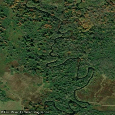
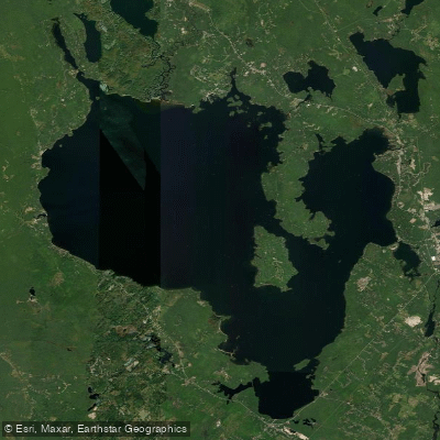
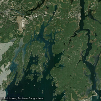
The Royal River originates at Sabbathday Lake in New Gloucester, Maine and flows southeast for approximately 30 miles before emptying into Casco Bay in Yarmouth. This coastal river system drains a watershed of about 150 square miles in southern Maine.
The Royal River offers diverse paddling opportunities suitable for a range of skill levels. The upper reaches from Sabbathday Lake to First Falls provide flatwater paddling through Shaker Bog and Chandler Mill Pond. Below First Falls, the river transitions to mostly Class I water with occasional Class II rapids, depending on water levels. The most popular paddling section is the 6-mile stretch of flatwater from North Yarmouth to Yarmouth. This segment has virtually no current, making it ideal for beginners and families. The lower river becomes tidal below Yarmouth, offering estuarine paddling experiences as it approaches Casco Bay.
Spring typically provides the best water levels for paddling the full length of the river. Summer and fall are ideal for flatwater sections, though water levels may be low in drier years. Winter paddling is possible but requires cold water gear and experience.
The river corridor supports diverse wildlife including great blue herons, osprey, bald eagles, and various waterfowl. Anglers can find brook trout in the upper reaches and striped bass in the lower tidal sections.
Key landmarks include the historic mill towns of Yarmouth and North Yarmouth. The river passes under the Maine Turnpike and through the Royal River Reservoir formed by a dam at Bald Hill Road.
Primary access points include Sabbathday Lake, Wescustogo Park in North Yarmouth, Royal River Park in Yarmouth, and Yarmouth Town Landing. Additional hand-carry launches are available at Old Town House Park, East Elm Street, and other locations along the water trail.
The Royal River played an important role in the region's industrial development, powering numerous mills in the 18th and 19th centuries. Today, it serves as a recreational resource and provides important habitat for migratory fish.
Paddlers should be aware of several dams along the river, particularly in Yarmouth. Portages are required around these obstacles. Tidal influences affect the lower river below Yarmouth, so paddlers should consult tide charts when planning trips in this section.
While primarily suited for day trips, multi-day adventures are possible by camping at designated sites along the Royal River Water Trail. This 30-mile route from Sabbathday Lake to Casco Bay showcases the diverse landscapes and rich history of southern Maine.
Curated routes
Hand-picked by the PaddleWays team, with put-ins, take-outs, paddle times and the hazards along the way.
RouteFlatwater
RouteFlatwater
Hazards
No paddler has reported a hazard here yet, so these are the dams, falls and big rapids on our map. Hazards change with flows and storms, so check them before you launch.
From the community
Nobody has shared a trip on Royal River yet. Paddle it, then tell the next paddler how it went.
Mary H. •
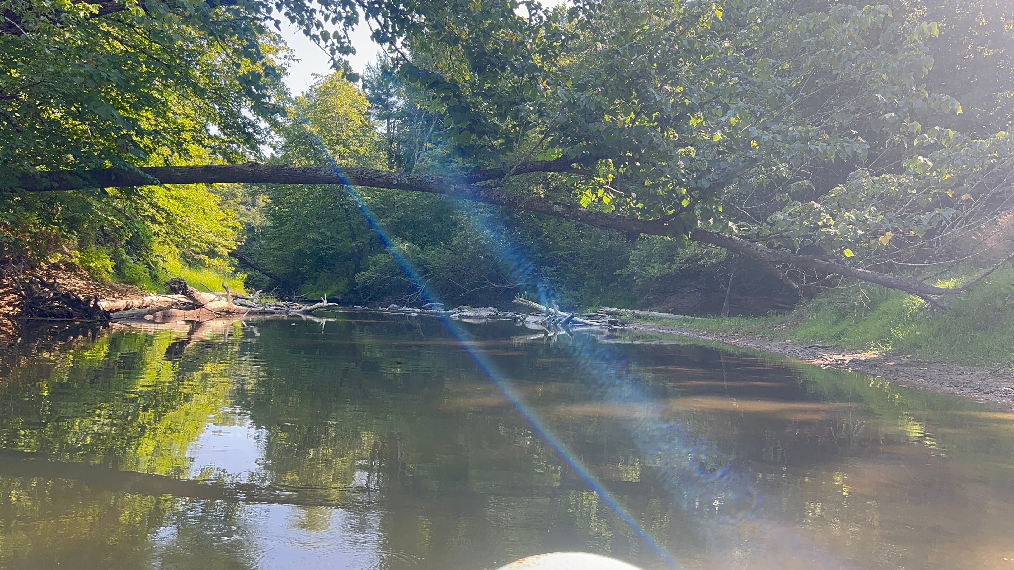
fallen down trees and Sandy water make it hard to see through, I don’t advise standing while paddle boarding, but absolutely beautiful and very private.  the water is warm and refreshing also!
See exactly where the public can get on and off the river. Launch points and boat ramps are paired with PaddleWays' public land data so you know where you can legally land.
Public shoreline
0%of the river's shoreline is public
Most of the riverbank is private. Launch, land and camp only at public access points.
Flows, weather and a route-by-route verdict, so you know which stretch of the Royal River is worth paddling today.
Live flows, marked hazards and fresh trip reports from paddlers who were just on the water, all in one place.





Every user gets free access to launch points, boat ramps, and public property parcels.

Loading popular cities...
PaddleWays gives you everything you need to plan smarter, paddle better, and own every trip from first launch to takeout.