Curated by PaddleWays
RouteClass II
- Distance
- 5.5 mi
- Paddle time
- ~2 hrs
- Best for
- Beginners, intermediate paddlers
- Put-in → take-out
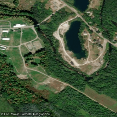
- 131 Bridge Launch → St. George River Boat Ramp
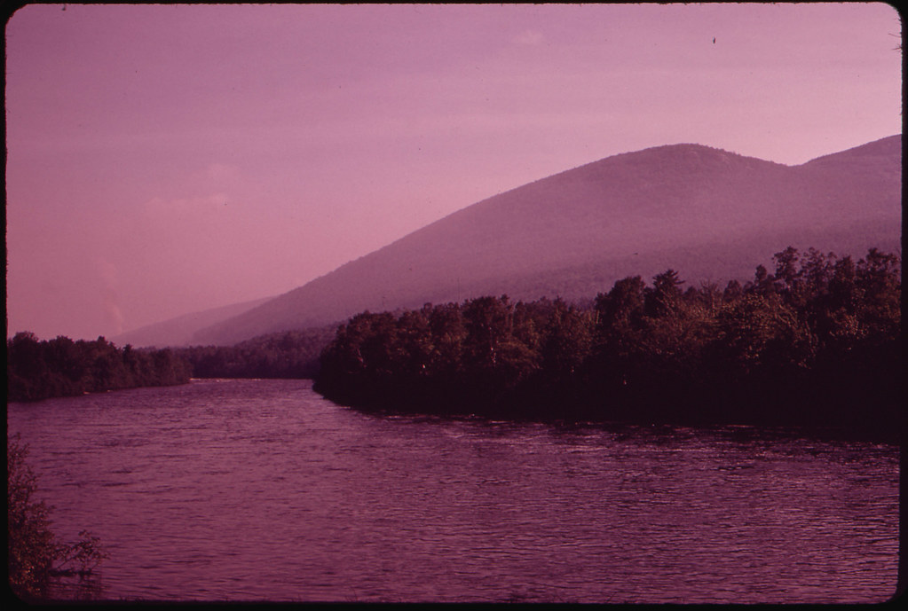
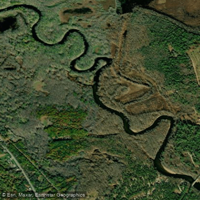
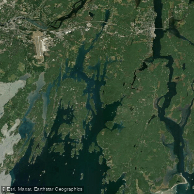
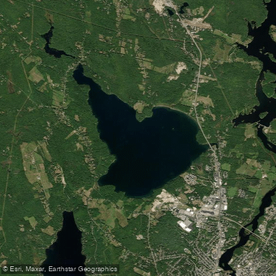
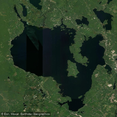
The Saint George River is a scenic waterway in mid-coast Maine, originating near Searsmont and flowing south approximately 45 miles to empty into Muscongus Bay near Thomaston. This river system drains a watershed of about 225 square miles, with Seven Tree Pond and Round Pond forming natural expansions along its course.
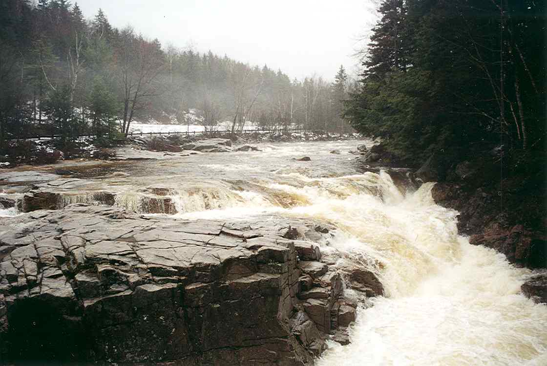
Paddling opportunities on the Saint George River cater to a range of skill levels. The upper sections, particularly from Searsmont to North Appleton, offer Class I-II whitewater suitable for beginner to intermediate paddlers. This 5.5-mile stretch is popular for early-season runs and hosts the annual St. George River Race, traditionally marking the opening of Maine's whitewater season. Downstream, the river transitions to more placid waters. The section from Woodsmans Mills to Warren provides a 30.3-mile stretch of mostly Class I-II paddling through the picturesque countryside of Waldo County. Below Warren, the river becomes tidal, offering an 8-mile flatwater paddle to Thomaston that's best enjoyed with the outgoing tide. For a leisurely experience, Seven Tree Pond near Union provides excellent flatwater paddling, with a short 1-mile round trip to Round Pond offering a perfect outing for beginners or families.
The Saint George River is typically paddled from early spring through fall, with higher water levels in spring providing the best conditions for the upper whitewater sections. Summer and fall offer pleasant conditions for flatwater and tidal sections. The river corridor supports diverse wildlife, including ospreys, bald eagles, and various waterfowl. The surrounding landscape features a mix of woodlands and rural farmlands, showcasing Maine's natural beauty.
Key access points include Searsmont (upper whitewater), Warren (head of tide), and Thomaston (harbor). These towns, along with Union and Appleton, serve as gateways to different sections of the river. Historically, the Saint George River played a crucial role in the region's development, supporting early settlements and industries. Today, the St. George River Land Trust promotes stewardship of the river through conservation efforts and the maintenance of the St. George River Canoe Trail.
Safety considerations include being aware of water levels, particularly for the whitewater sections, and understanding tidal influences in the lower reaches. Paddlers should always wear appropriate safety gear and check current conditions before embarking. For those seeking a multi-day adventure, the river's length and varied character allow for extended trips, potentially combining whitewater, flatwater, and tidal paddling experiences. Camping options may be limited, so proper planning is essential.
The Saint George River offers a quintessential Maine paddling experience, combining natural beauty, historical significance, and diverse paddling opportunities suitable for a wide range of enthusiasts.
Curated routes
Hand-picked by the PaddleWays team, with put-ins, take-outs, paddle times and the hazards along the way.
RouteClass II
RouteFlatwater
Hazards
No paddler has reported a hazard here yet, so these are the dams, falls and big rapids on our map. Hazards change with flows and storms, so check them before you launch.
From the community
Nobody has shared a trip on Saint George River yet. Paddle it, then tell the next paddler how it went.
See exactly where the public can get on and off the river. Launch points and boat ramps are paired with PaddleWays' public land data so you know where you can legally land.
Public shoreline
0%of the river's shoreline is public
Most of the riverbank is private. Launch, land and camp only at public access points.
Flows, weather and a route-by-route verdict, so you know which stretch of the Saint George River is worth paddling today.
No forecast data available.
Live flows, marked hazards and fresh trip reports from paddlers who were just on the water, all in one place.





Every user gets free access to launch points, boat ramps, and public property parcels.

Loading popular cities...
PaddleWays gives you everything you need to plan smarter, paddle better, and own every trip from first launch to takeout.