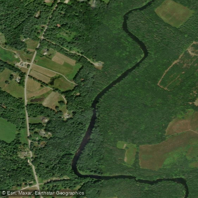
Curated by PaddleWays
RouteClass II
- Distance
- 3.7 mi
- Paddle time
- 3 hrs
- Best for
- Intermediate paddlers
- Put-in → take-out
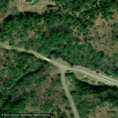
- Sheepscot Fish Hatchery → Patrick Town Road Bridge
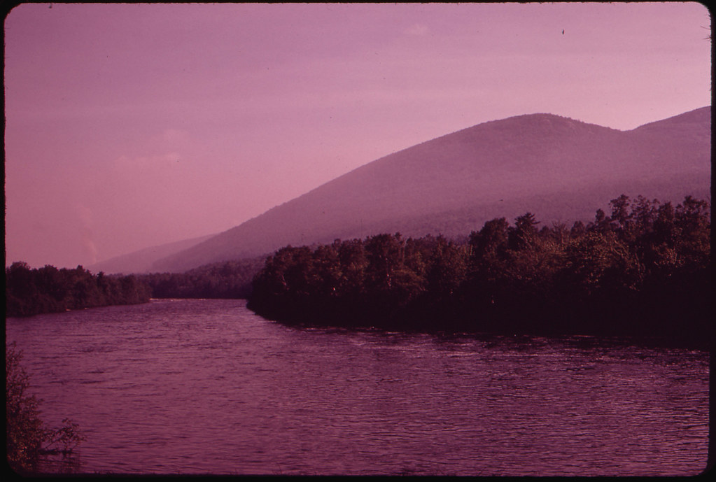
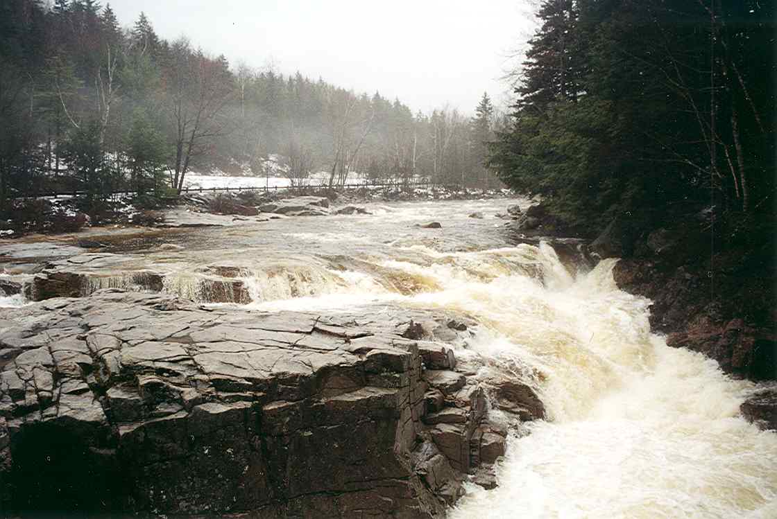
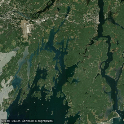
The Sheepscot River is a scenic waterway in midcoast Maine, originating near Freedom and flowing south for approximately 58 miles before emptying into the Atlantic Ocean near Wiscasset. Its major tributary is the West Branch, which joins the main stem near North Whitefield. The river drains a watershed of about 320 square miles. The Sheepscot offers diverse paddling opportunities, from whitewater runs to tidal estuary exploration. Popular sections include the 4-mile Class II stretch from Sheepscot Pond to Somerville, the 6-mile Whitefield to Head Tide run, and the tidal Reversing Falls near Wiscasset. Difficulty ranges from flatwater to Class III-IV rapids, accommodating beginner to advanced paddlers.
Spring is the prime paddling season, typically from late March through May, when snowmelt and rain provide optimal water levels for whitewater sections. The lower tidal portions can be paddled year-round. The river corridor supports diverse wildlife, including Atlantic salmon, river otters, bald eagles, and osprey. The watershed features a mix of forests, wetlands, and rural landscapes.
Key landmarks include the historic Head Tide Dam in Alna, the picturesque Head Tide Church, and the dynamic Reversing Falls. The river passes through several small towns, with notable access points in Whitefield, North Whitefield, Alna, and Wiscasset. The Sheepscot holds cultural significance as a traditional Atlantic salmon river and played a role in early colonial settlement and industry. Today, it's valued for recreation, wildlife habitat, and scenic beauty.
Safety considerations include cold water in spring, strainers in some sections, and tidal influences in the lower river. Paddlers should be aware of dams and check water levels before trips. For multi-day adventures, paddlers can combine the Sheepscot with nearby rivers like the St. George or explore the lower tidal sections and nearby coastal waters. The Sheepscot River provides a quintessential Maine paddling experience, offering a perfect blend of natural beauty, history, and varied water conditions for all skill levels.
Curated routes
Hand-picked by the PaddleWays team, with put-ins, take-outs, paddle times and the hazards along the way.
RouteClass II
RouteClass II–III
RouteClass II
Hazards
No paddler has reported a hazard here yet, so these are the dams, falls and big rapids on our map. Hazards change with flows and storms, so check them before you launch.
From the community
Nobody has shared a trip on Sheepscot River yet. Paddle it, then tell the next paddler how it went.
See exactly where the public can get on and off the river. Launch points and boat ramps are paired with PaddleWays' public land data so you know where you can legally land.
Public shoreline
0%of the river's shoreline is public
Most of the riverbank is private. Launch, land and camp only at public access points.
Flows, weather and a route-by-route verdict, so you know which stretch of the Sheepscot River is worth paddling today.
Live flows, marked hazards and fresh trip reports from paddlers who were just on the water, all in one place.





Every user gets free access to launch points, boat ramps, and public property parcels.


Loading popular cities...
PaddleWays gives you everything you need to plan smarter, paddle better, and own every trip from first launch to takeout.