Curated by PaddleWays
RouteFlatwater
- Distance
- 1.4 mi
- Paddle time
- ~0.5 hrs
- Put-in & take-out
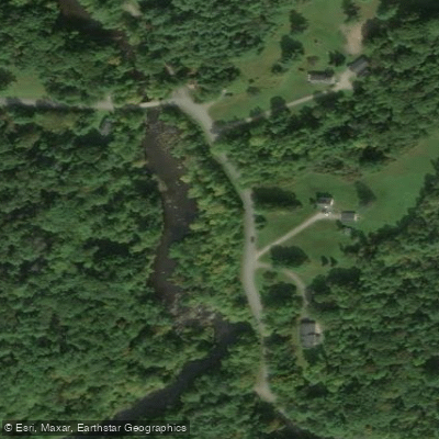
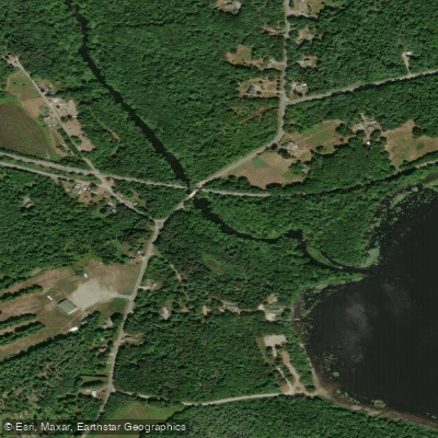
- Hermon Pond Boat Ramp
Souadabscook Stream flows through Penobscot County in central Maine, carving a dynamic course through the town of Hampden before joining the Penobscot River. This challenging whitewater stream has earned its reputation as one of Maine's premier spring paddling destinations, drawing experienced paddlers and competitive racers to test their skills against its continuous rapids and technical features.
The stream offers approximately 7.5 miles of paddling opportunities, with difficulty ranging from Class I-II flatwater in the upper reaches to sustained Class III whitewater through the middle and lower sections. The most popular run begins at Bog Road and concludes at Route 1A, encompassing the full race course that has become a cornerstone of Maine's spring whitewater racing series. This section demands solid boat control and the ability to read water quickly, as paddlers navigate a relentless succession of rapids with limited recovery pools.
Manning Mill Bridge, locally known as Devil's Bridge, serves as a key landmark dividing the stream into distinct sections. Above this point, paddlers encounter a more moderate 3-mile stretch featuring flatwater interspersed with Class I-II rapids—an appropriate introduction for those building skills before tackling the stream's more demanding lower reaches. Below Devil's Bridge, the character intensifies dramatically. The 4.5-mile middle course from Manning Mill Bridge to the Water Works building in downtown Hampden delivers continuous Class III action, requiring confident maneuvering through technical drops and tight passages.
Spring runoff, typically from March through early May, provides optimal water levels for Souadabscook Stream. The narrow, rock-studded channel requires substantial flow to be navigable, and water levels can drop rapidly as the season progresses. During peak conditions, certain sections may approach Class III+ to IV difficulty, particularly at notable drops that have earned respect among the local paddling community.
The stream corridor passes through wooded bottomlands characteristic of central Maine's mixed hardwood-conifer forests. Wildlife sightings commonly include various waterfowl and raptors hunting along the banks. The stream's gradient and substrate create ideal spawning habitat for native fish species.
A mandatory portage exists along the full course, requiring paddlers to scout ahead and plan accordingly. Access points are well-established at Bog Road, Manning Mill Bridge, and Route 1A, all within Hampden. The proximity to Bangor makes this an accessible destination for paddlers throughout the region.
The Penobscot Paddle and Chowder Society regularly organizes trips on Souadabscook Stream, and the annual race draws competitive paddlers from across New England. This is serious whitewater demanding respect, proper safety equipment, and the skills to handle extended Class III conditions.
Curated routes
Hand-picked by the PaddleWays team, with put-ins, take-outs, paddle times and the hazards along the way.
RouteFlatwater
Hazards
No hazards are marked on Souadabscook Stream yet. That is not the same as none being there: if you find one, report it for the next paddler.
From the community
Real trips from PaddleWays paddlers: which route they ran, how the flows were, and what to watch for.
Loading trip reports
Marina G.
William K.
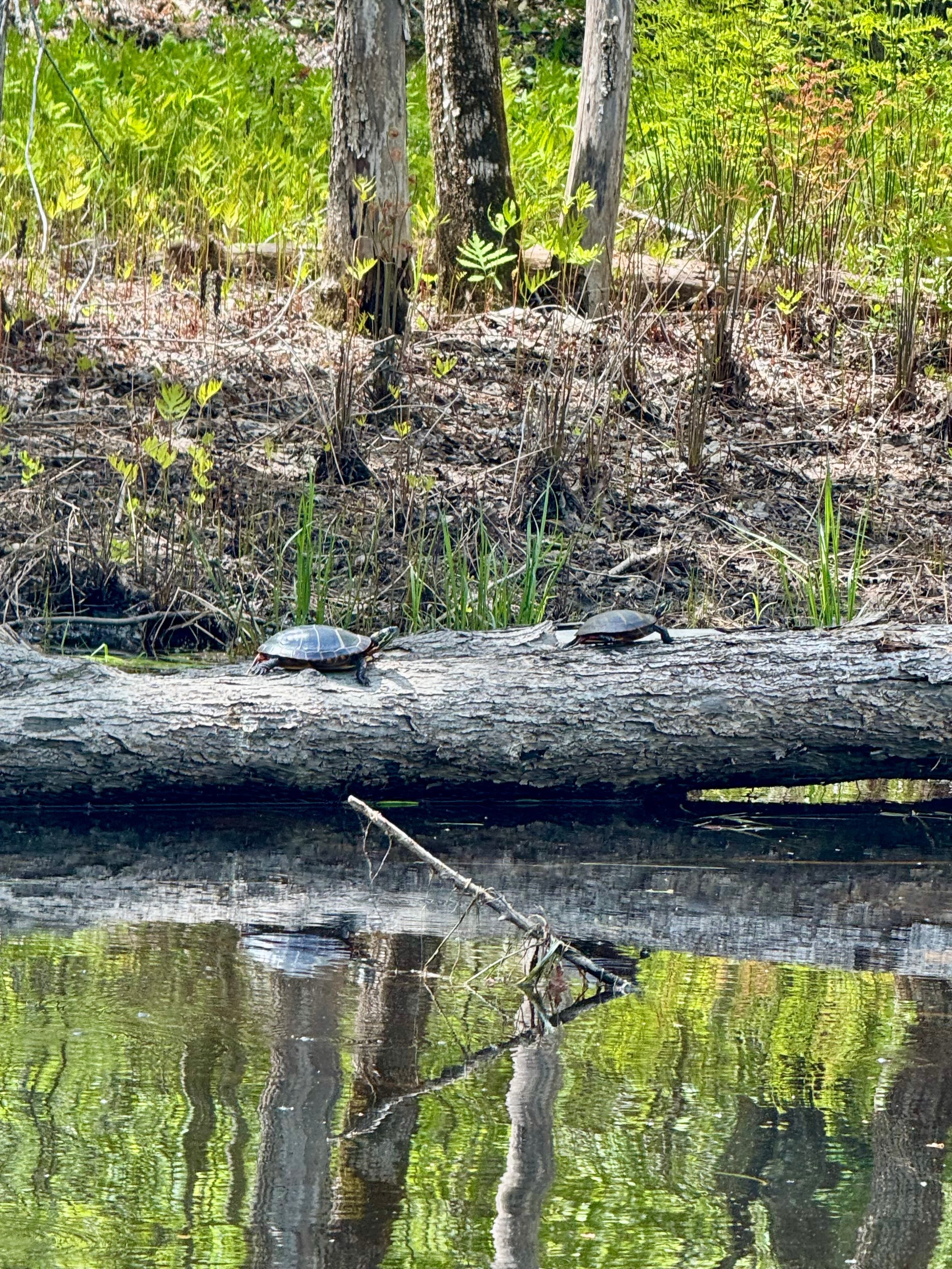
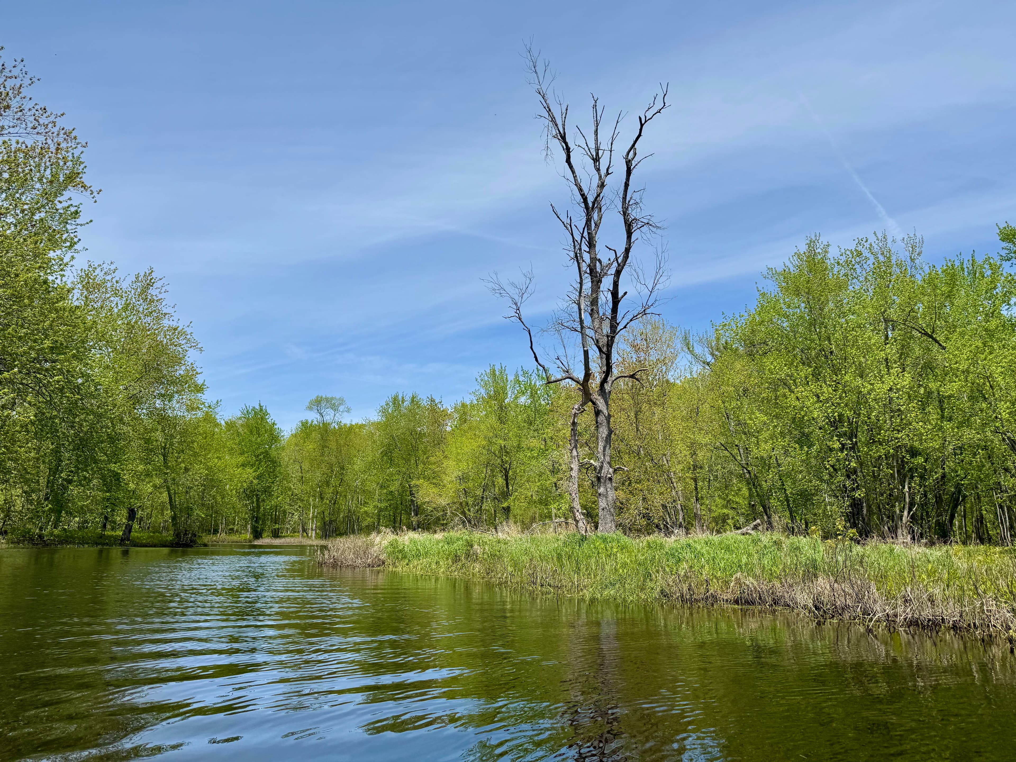
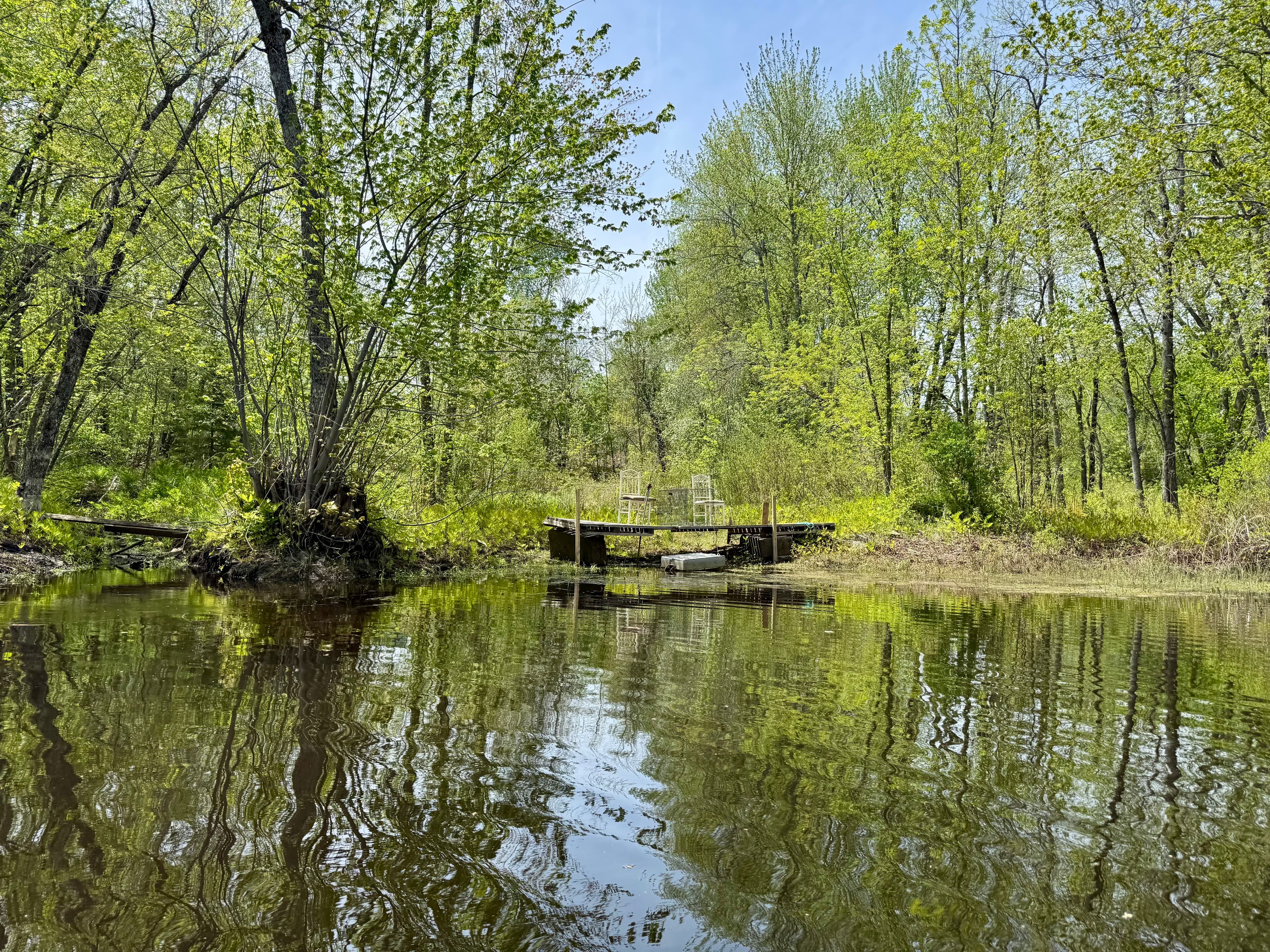
Great Paddle. I went as far as I could up the stream. Lots of great spring colors and a lot of wildlife!
 +7
See exactly where the public can get on and off the river. Launch points and boat ramps are paired with PaddleWays' public land data so you know where you can legally land.
Public shoreline
0%of the river's shoreline is public
Most of the riverbank is private. Launch, land and camp only at public access points.
Flows, weather and a route-by-route verdict, so you know which stretch of the Souadabscook Stream is worth paddling today.
No forecast data available.
Live flows, marked hazards and fresh trip reports from paddlers who were just on the water, all in one place.





Every user gets free access to launch points, boat ramps, and public property parcels.










Loading popular cities...
PaddleWays gives you everything you need to plan smarter, paddle better, and own every trip from first launch to takeout.