Curated by PaddleWays
RouteClass I–II
- Distance
- 30 mi
- Paddle time
- Multi-day
- Best for
- Intermediate paddlers
- Put-in → take-out
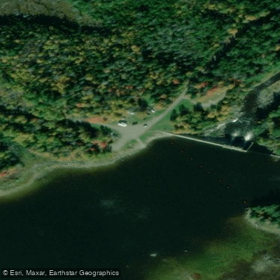
- Route 201 Bridge Access → Canada Falls Lake Boat Ramp
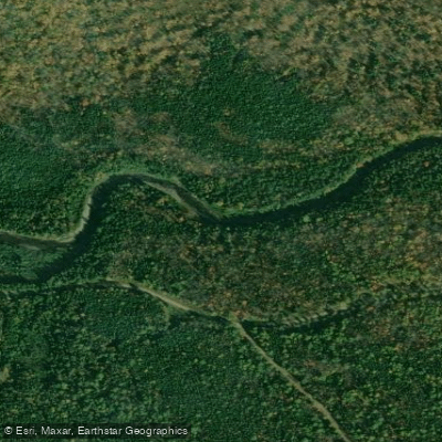
The South Branch Penobscot River originates in the remote wilderness of northwestern Maine, flowing generally eastward before joining the West Branch to form the main stem of the Penobscot River. This pristine waterway carves through dense forests and rugged terrain, offering paddlers a true backcountry experience. The river's character transforms dramatically along its course. Its upper reaches feature challenging Class V rapids, including the notorious Canada Falls section with its formidable The Slide rapid. As it continues downstream, the river mellows into more moderate Class II-III rapids interspersed with calm stretches, eventually becoming a gentle flatwater paddle as it approaches Chesuncook Lake.
Paddling opportunities range from intense whitewater runs for experts to multi-day wilderness trips suitable for intermediates. The 3.5-mile Canada Falls section demands advanced skills and proper equipment. In contrast, the 30-mile stretch from Old Roll Dam to Chesuncook Lake offers a serene journey through unspoiled landscapes, ideal for canoeists seeking a remote adventure.
The best paddling season typically runs from May through September, with spring snowmelt producing higher water levels. Late summer and early fall provide more moderate flows and excellent fishing opportunities, particularly for brook trout and landlocked salmon.
Wildlife is abundant along the river corridor. Paddlers may encounter moose wading in the shallows, bald eagles soaring overhead, and beaver lodges along the banks. The surrounding forests host a diverse ecosystem of flora, including stands of old-growth pine and spruce.
Key landmarks include Canada Falls Lake, Pittston Farm, and the historic Chesuncook Dam. These sites offer glimpses into the region's logging heritage and serve as important access points for river trips.
Multi-day expeditions are popular, with a typical journey from Old Roll Dam to Chesuncook Lake lasting 5-6 days. Primitive campsites dot the riverbanks, allowing paddlers to immerse themselves in the wilderness. Some trips incorporate a side excursion to nearby Lobster Lake for additional exploration.
Safety considerations are paramount, especially in the more challenging sections. All paddlers should wear personal flotation devices, be prepared for remote wilderness conditions, and have appropriate whitewater skills for their chosen route. Local outfitters and guides can provide valuable expertise and support for those unfamiliar with the river.
The South Branch Penobscot River offers a quintessential Maine paddling experience, combining thrilling whitewater, serene flatwater, and unspoiled wilderness in one of the state's most iconic watersheds.
Curated routes
Hand-picked by the PaddleWays team, with put-ins, take-outs, paddle times and the hazards along the way.
RouteClass I–II
Hazards
No paddler has reported a hazard here yet, so these are the dams, falls and big rapids on our map. Hazards change with flows and storms, so check them before you launch.
From the community
Nobody has shared a trip on South Branch Penobscot River yet. Paddle it, then tell the next paddler how it went.
See exactly where the public can get on and off the river. Launch points and boat ramps are paired with PaddleWays' public land data so you know where you can legally land.
Public shoreline
15%of the river's shoreline is public
Most of the riverbank is private. Launch, land and camp only at public access points.
Flows, weather and a route-by-route verdict, so you know which stretch of the South Branch Penobscot River is worth paddling today.
Scheduled releases and generation forecasts from the dams on South Branch Penobscot River.
South Branch Penobscot River · Below Canada Falls Dam · Brookfield Renewable
70 cfs now
Forecast updated today at 8:23 PM EST. Schedules can change, so check the operator's page before you go.
Live flows, marked hazards and fresh trip reports from paddlers who were just on the water, all in one place.





Every user gets free access to launch points, boat ramps, and public property parcels.










Loading popular cities...
PaddleWays gives you everything you need to plan smarter, paddle better, and own every trip from first launch to takeout.